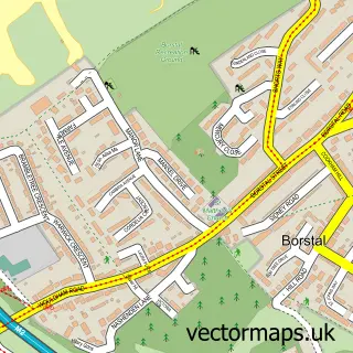
This Bluebell Hill street map is a detailed vector street map covering a 750m x 750m area. Select a larger area to create and download your own vector street map of Bluebell Hill.
The 750-metre map sample for Bluebell Hill covers 260 mapped buildings and approximately 18.6 km of road detail, of which 15 named roads are named. The immediate area includes 3 GP surgeries within 2 miles and 4 MOT stations within 2 miles. The wider area around Bluebell Hill features 6 tourism points of interest. To create a larger or custom map of Bluebell Hill, the map builder lets you define your own coverage area and download editable SVG, PDF and PNG files.
Create a larger editable map of Bluebell Hill
Choose any area you need and generate a high-quality vector map instantly. Perfect for print, planning, design, business and personal use.

This Bluebell Hill street map in Kent is available as downloadable SVG, PDF and PNG map files, or as a printed map for planning, business, display, education, local information and design work. You can also create a larger custom map area using the map selector.
What this Bluebell Hill map sample shows
Bluebell Hill lies within Aylesford Cp parish, part of Aylesford North And Walderslade ward in the Tonbridge And Malling District (B) local authority area. The postcode geography for this area includes the ME postcode area, the ME5 postcode district and the ME5 9 postcode sector. Residents fall under the Nhs Kent And Medway Integrated Care Board for NHS services.
Local features near Bluebell Hill
Within 2 milesAmenities and services in and around Bluebell Hill.
Administrative and postcode information for Bluebell Hill
Bluebell Hill lies within Aylesford Cp parish, part of Aylesford North And Walderslade ward in the Tonbridge And Malling District (B) local authority area. The postcode geography for this area includes the ME postcode area, the ME5 postcode district and the ME5 9 postcode sector. Residents fall under the Nhs Kent And Medway Integrated Care Board for NHS services.
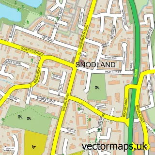
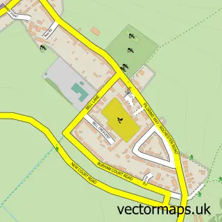
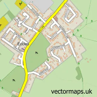
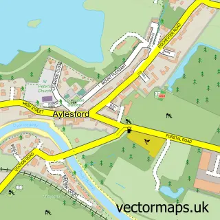
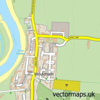
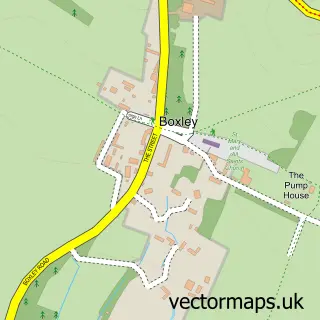
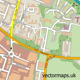
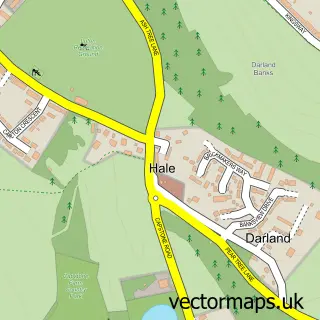
Nearby street map samples around Bluebell Hill

More street maps in Kent
750 metre map area coverage
Boundary, postcode and point of interest information for the 750m x 750m rectangle centred on this sample map.
Boundaries containing map centre
Constituency: Chatham and Aylesford Co Const
County: Kent County
District: Tonbridge and Malling District (B)
Icb: NHS Kent and Medway ICB
Parish: Aylesford CP
Police Force: kent
Postcode District: ME5
Postcode Sector: ME5 9
Ward: Aylesford North & North Downs Ward
Nearby boundaries intersecting sample
Parish: Burham CP
Postcode District: ME20
Postcode Sector: ME20 7
Ward: Walderslade Ward
Postcode coverage
POI category counts
Park: 3
Automotive Repair: 2
Used Car Dealer: 2
Anglican Church: 1
Attractions And Activities: 1
Bed And Breakfast: 1
Business: 1
Campground: 1
Car Dealer: 1
Caterer: 1
Sample points of interest
- Holy Trinity - St Alban's, Blue Bell Hill
- Bluebell Hill Picnic Site
- JD Autos
- Maidstone Trimming
- Blue Bell Hill Bed and Breakfast
- Autokiid
- Mr Campervan
- Blue Bell Motor Company
- BlueBells Catering & Tea Room
- Medway Crematorium
- St Alban's Church
- Pro Klean
Create a larger editable map of Bluebell Hill
This sample shows only a 750 metre area. To create a larger map of Bluebell Hill, use our map builder to choose your own coverage area, add titles and download editable SVG, PDF and PNG files.
Create a custom map of Bluebell Hill