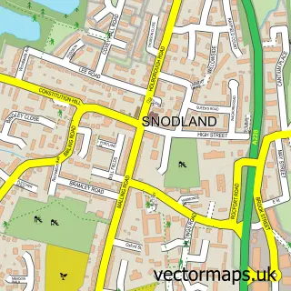
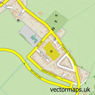
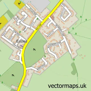
This Wouldham street map is a detailed vector street map covering a 750m x 750m area. Select a larger area to create and download your own vector street map of Wouldham.
The 750-metre map sample for Wouldham covers 164 mapped buildings and approximately 7.6 km of road detail, of which 13 named roads are named. The immediate area includes 1 school, 4 GP surgeries within 2 miles, 1 pub and 4 MOT stations within 2 miles. The wider area around Wouldham features 1 tourism point of interest, 2 food and drink venues and 1 hotel. To create a larger or custom map of Wouldham, the map builder lets you define your own coverage area and download editable SVG, PDF and PNG files.
Create a larger editable map of Wouldham
Choose any area you need and generate a high-quality vector map instantly. Perfect for print, planning, design, business and personal use.

This Wouldham street map in Kent is available as downloadable SVG, PDF and PNG map files, or as a printed map for planning, business, display, education, local information and design work. You can also create a larger custom map area using the map selector.
What this Wouldham map sample shows
Wouldham lies within Wouldham Cp parish, part of Burham And Wouldham ward in the Tonbridge And Malling District (B) local authority area. The postcode geography for this area includes the ME postcode area, the ME1 postcode district and the ME1 3 postcode sector. Residents fall under the Nhs Kent And Medway Integrated Care Board for NHS services.
Local features near Wouldham
Within 2 milesAmenities and services in and around Wouldham.
Administrative and postcode information for Wouldham
Wouldham lies within Wouldham Cp parish, part of Burham And Wouldham ward in the Tonbridge And Malling District (B) local authority area. The postcode geography for this area includes the ME postcode area, the ME1 postcode district and the ME1 3 postcode sector. Residents fall under the Nhs Kent And Medway Integrated Care Board for NHS services.
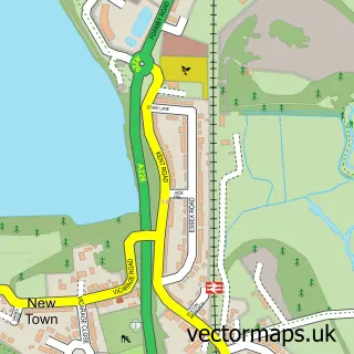
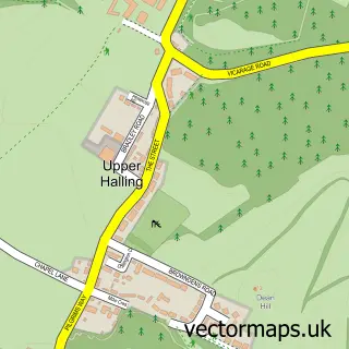
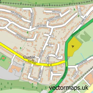
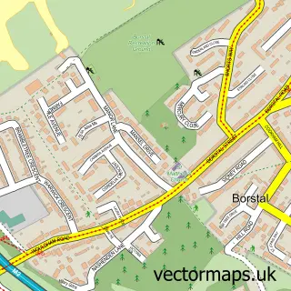
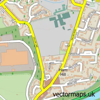
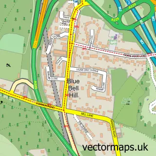
Nearby street map samples around Wouldham

More street maps in Kent
750 metre map area coverage
Boundary, postcode and point of interest information for the 750m x 750m rectangle centred on this sample map.
Boundaries containing map centre
Constituency: Chatham and Aylesford Co Const
County: Kent County
District: Tonbridge and Malling District (B)
Icb: NHS Kent and Medway ICB
Parish: Wouldham CP
Police Force: kent
Postcode District: ME1
Postcode Sector: ME1 3
Ward: Aylesford North & North Downs Ward
Nearby boundaries intersecting sample
Constituency: Rochester and Strood Co Const
District: Medway (B)
Parish: Halling CP
Postcode District: ME2
Postcode Sector: ME2 1
Ward: Cuxton, Halling & Riverside Ward
Postcode coverage
POI category counts
Convenience Store: 2
Pet Store: 2
Anglican Church: 1
Architect: 1
Attractions And Activities: 1
Bar: 1
Bathroom Remodeling: 1
Beauty And Spa: 1
Betting Center: 1
Childrens Clothing Store: 1
Sample points of interest
- Wouldham: All Saints
- Architectyourhome
- Wouldham Allotments
- Olivers
- Bathrooms by You Limited
- Red Light Therapy
- Paddy Power
- Kiss The Bride
- All Saints' Church
- Maid 4 Cleaning
- Deaf Cat Coffee
- Sovereign Sports
Create a larger editable map of Wouldham
This sample shows only a 750 metre area. To create a larger map of Wouldham, use our map builder to choose your own coverage area, add titles and download editable SVG, PDF and PNG files.
Create a custom map of Wouldham