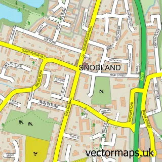
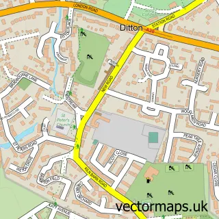
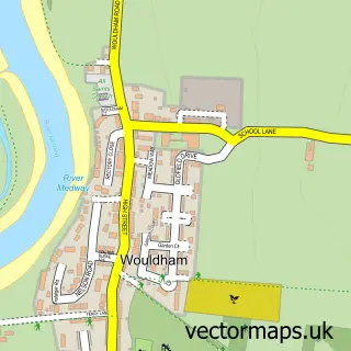
This Ham Hill street map is a detailed vector street map covering a 750m x 750m area. Select a larger area to create and download your own vector street map of Ham Hill.
The 750-metre map sample for Ham Hill covers 349 mapped buildings and approximately 14.4 km of road detail, of which 27 named roads are named. The immediate area includes 2 schools, 3 GP surgeries within 2 miles, 3 pubs and 7 MOT stations within 2 miles. The wider area around Ham Hill features 2 tourism points of interest and 5 food and drink venues. To create a larger or custom map of Ham Hill, the map builder lets you define your own coverage area and download editable SVG, PDF and PNG files.
Create a larger editable map of Ham Hill
Choose any area you need and generate a high-quality vector map instantly. Perfect for print, planning, design, business and personal use.

This Ham Hill street map in Kent is available as downloadable SVG, PDF and PNG map files, or as a printed map for planning, business, display, education, local information and design work. You can also create a larger custom map area using the map selector.
What this Ham Hill map sample shows
Ham Hill lies within Snodland Cp parish, part of Snodland West And Holborough Lakes ward in the Tonbridge And Malling District (B) local authority area. The postcode geography for this area includes the ME postcode area, the ME6 postcode district and the ME6 5 postcode sector. Residents fall under the Nhs Kent And Medway Integrated Care Board for NHS services.
Local features near Ham Hill
Within 2 milesAmenities and services in and around Ham Hill.
Administrative and postcode information for Ham Hill
Ham Hill lies within Snodland Cp parish, part of Snodland West And Holborough Lakes ward in the Tonbridge And Malling District (B) local authority area. The postcode geography for this area includes the ME postcode area, the ME6 postcode district and the ME6 5 postcode sector. Residents fall under the Nhs Kent And Medway Integrated Care Board for NHS services.
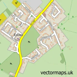
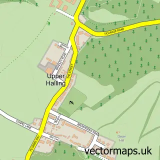
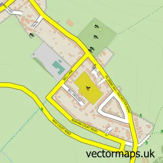
Nearby street map samples around Ham Hill

More street maps in Kent
750 metre map area coverage
Boundary, postcode and point of interest information for the 750m x 750m rectangle centred on this sample map.
Boundaries containing map centre
Constituency: Chatham and Aylesford Co Const
County: Kent County
District: Tonbridge and Malling District (B)
Icb: NHS Kent and Medway ICB
Parish: Snodland CP
Police Force: kent
Postcode District: ME6
Postcode Sector: ME6 5
Ward: Snodland East & Ham Hill Ward
Nearby boundaries intersecting sample
Constituency: Tonbridge Co Const
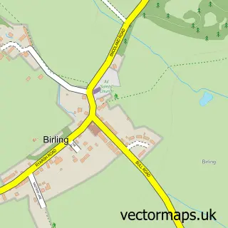
Parish: Birling CP, East Malling & Larkfield CP
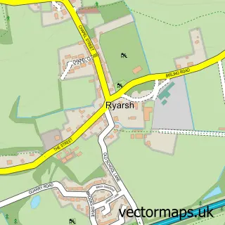
Ward: Birling, Leybourne & Ryarsh Ward, Snodland West & Holborough Lakes Ward
Postcode coverage
POI category counts
Pub: 3
Driving School: 2
Home Service: 2
Hvac Services: 2
Park: 2
Professional Services: 2
Anglican Church: 1
Appliance Store: 1
Auto Loan Provider: 1
Beauty Salon: 1
Sample points of interest
- Lower Birling: Christ Church
- Robert Barnes
- Encore Mortgages
- Massage & Beauty by Sam
- Invicta Mechanical Services Ltd
- L S Consultancy
- LS Consultancy
- Snodland Mobile Valeting & Car Repairs
- Snodland Car Wash
- Christ Church
- E + D Hygiene Services
- Costa Express
Create a larger editable map of Ham Hill
This sample shows only a 750 metre area. To create a larger map of Ham Hill, use our map builder to choose your own coverage area, add titles and download editable SVG, PDF and PNG files.
Create a custom map of Ham Hill