This Snodland street map is a detailed vector street map covering a 750m x 750m area. Select a larger area to create and download your own vector street map of Snodland.
The 750-metre map sample for Snodland covers 409 mapped buildings and approximately 20.1 km of road detail, of which 44 named roads are named. The immediate area includes 1 GP surgery, with 3 within 2 miles, 1 pub and 1 MOT station, with 5 within 2 miles. The wider area around Snodland features 2 tourism points of interest and 6 food and drink venues. To create a larger or custom map of Snodland, the map builder lets you define your own coverage area and download editable SVG, PDF and PNG files.
Create a larger editable map of Snodland
Choose any area you need and generate a high-quality vector map instantly. Perfect for print, planning, design, business and personal use.

This Snodland street map in Kent is available as downloadable SVG, PDF and PNG map files, or as a printed map for planning, business, display, education, local information and design work. You can also create a larger custom map area using the map selector.
What this Snodland map sample shows
Snodland lies within Snodland Cp parish, part of Snodland West And Holborough Lakes ward in the Tonbridge And Malling District (B) local authority area. The postcode geography for this area includes the ME postcode area, the ME6 postcode district and the ME6 5 postcode sector. Residents fall under the Nhs Kent And Medway Integrated Care Board for NHS services.
Local features near Snodland
Within 2 milesAmenities and services in and around Snodland.
Administrative and postcode information for Snodland
Snodland lies within Snodland Cp parish, part of Snodland West And Holborough Lakes ward in the Tonbridge And Malling District (B) local authority area. The postcode geography for this area includes the ME postcode area, the ME6 postcode district and the ME6 5 postcode sector. Residents fall under the Nhs Kent And Medway Integrated Care Board for NHS services.
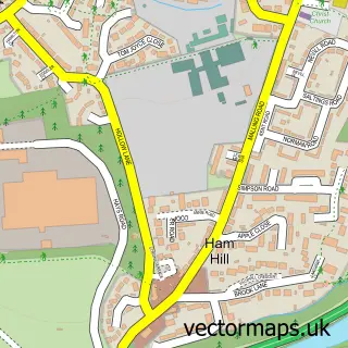
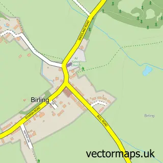
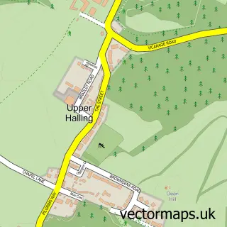
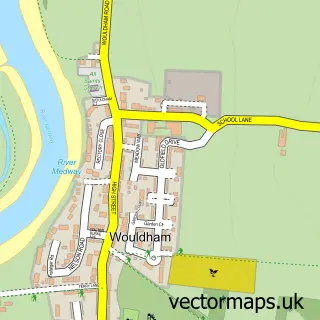
Nearby street map samples around Snodland

More street maps in Kent
750 metre map area coverage
Boundary, postcode and point of interest information for the 750m x 750m rectangle centred on this sample map.
Boundaries containing map centre
Constituency: Chatham and Aylesford Co Const
County: Kent County
District: Tonbridge and Malling District (B)
Icb: NHS Kent and Medway ICB
Parish: Snodland CP
Police Force: kent
Postcode District: ME6
Postcode Sector: ME6 5
Ward: Snodland East & Ham Hill Ward
Nearby boundaries intersecting sample
Ward: Snodland West & Holborough Lakes Ward
Postcode coverage
POI category counts
Real Estate Agent: 6
Barber: 5
Convenience Store: 5
Pizza Restaurant: 5
Beauty Salon: 4
Hair Salon: 4
Assisted Living Facility: 3
Automotive Repair: 3
Building Supply Store: 3
Restaurant: 3
Sample points of interest
- Adams & Company - Chartered Certified Accountants
- Print Asia
- Snodland Osteopaths
- The Beauty Bay
- The Antiques Store Snodland
- Kentec Group Ltd
- Hedera House
- Mortimer Society
- The Regard Partnership
- CCM Vettes
- All Square Race and Road
- Claremont Corvette Specialists
Create a larger editable map of Snodland
This sample shows only a 750 metre area. To create a larger map of Snodland, use our map builder to choose your own coverage area, add titles and download editable SVG, PDF and PNG files.
Create a custom map of Snodland