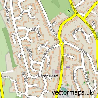
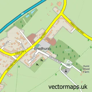
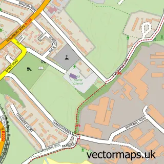
This Hale street map is a detailed vector street map covering a 750m x 750m area. Select a larger area to create and download your own vector street map of Hale.
The 750-metre map sample for Hale covers 141 mapped buildings and approximately 8.8 km of road detail, of which 7 named roads are named. The immediate area includes 16 GP surgeries within 2 miles and 28 MOT stations within 2 miles. The wider area around Hale features 1 tourism point of interest. To create a larger or custom map of Hale, the map builder lets you define your own coverage area and download editable SVG, PDF and PNG files.
Create a larger editable map of Hale
Choose any area you need and generate a high-quality vector map instantly. Perfect for print, planning, design, business and personal use.

This Hale street map in Kent is available as downloadable SVG, PDF and PNG map files, or as a printed map for planning, business, display, education, local information and design work. You can also create a larger custom map area using the map selector.
What this Hale map sample shows
Hale lies within Medway (B) parish, part of Lordswood And Capstone ward in the Medway (B) local authority area. The postcode geography for this area includes the ME postcode area, the ME7 postcode district and the ME7 3 postcode sector. Residents fall under the Nhs Kent And Medway Integrated Care Board for NHS services.
Local features near Hale
Within 2 milesAmenities and services in and around Hale.
Administrative and postcode information for Hale
The local authority covering Hale is Medway (B), within the county of Kent. The settlement lies within Lordswood And Capstone ward and Medway (B) civil parish. The ME7 postcode district and ME7 3 postcode sector serve the immediate area. NHS provision in the area is delivered through Medway Nhs Foundation Trust.
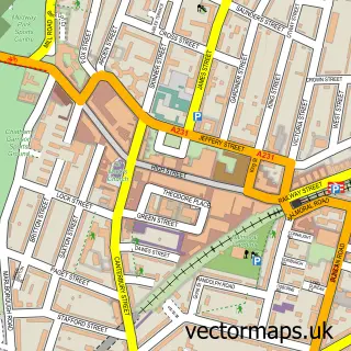
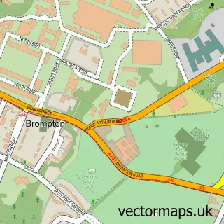
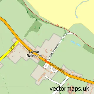
Nearby street map samples around Hale

More street maps in Kent
750 metre map area coverage
Boundary, postcode and point of interest information for the 750m x 750m rectangle centred on this sample map.
Boundaries containing map centre
Constituency: Gillingham and Rainham Boro Const
District: Medway (B)
Icb: NHS Kent and Medway ICB
Police Force: kent
Postcode District: ME5
Postcode Sector: ME5 7
Ward: Hempstead & Wigmore Ward
Nearby boundaries intersecting sample
Constituency: Chatham and Aylesford Co Const
Postcode District: ME7
Postcode Sector: ME7 3
Ward: Lordswood & Walderslade Ward, Luton Ward, Watling Ward
Postcode coverage
POI category counts
Scout Hall: 2
Cooking School: 1
Gastropub: 1
Park: 1
Preschool: 1
Professional Services: 1
Web Designer: 1
Sample points of interest
- Petit Roll
- Waggon at Hale
- Luton Rec
- Sprites Woodland Nursery
- Gold Leaf Gilders
- 12th and 17th Medway
- Medway Towns - Falcon ESU
- Newble Designs
Create a larger editable map of Hale
This sample shows only a 750 metre area. To create a larger map of Hale, use our map builder to choose your own coverage area, add titles and download editable SVG, PDF and PNG files.
Create a custom map of Hale