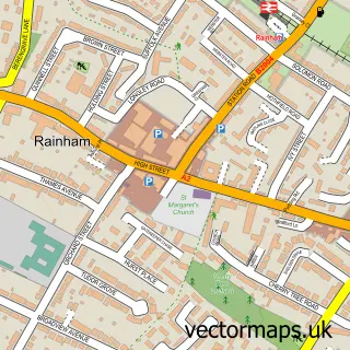
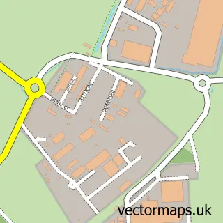
This Lower Rainham street map is a detailed vector street map covering a 750m x 750m area. Select a larger area to create and download your own vector street map of Lower Rainham.
The 750-metre map sample for Lower Rainham covers 80 mapped buildings and approximately 5.5 km of road detail, of which 4 named roads are named. The immediate area includes 8 GP surgeries within 2 miles, 1 pub and 12 MOT stations within 2 miles. The wider area around Lower Rainham features 1 tourism point of interest and 3 food and drink venues. To create a larger or custom map of Lower Rainham, the map builder lets you define your own coverage area and download editable SVG, PDF and PNG files.
Create a larger editable map of Lower Rainham
Choose any area you need and generate a high-quality vector map instantly. Perfect for print, planning, design, business and personal use.

This Lower Rainham street map in Kent is available as downloadable SVG, PDF and PNG map files, or as a printed map for planning, business, display, education, local information and design work. You can also create a larger custom map area using the map selector.
What this Lower Rainham map sample shows
Lower Rainham lies within Medway (B) parish, part of Rainham North ward in the Medway (B) local authority area. The postcode geography for this area includes the ME postcode area, the ME8 postcode district and the ME8 7 postcode sector. Residents fall under the Nhs Kent And Medway Integrated Care Board for NHS services.
Local features near Lower Rainham
Within 2 milesAmenities and services in and around Lower Rainham.
Administrative and postcode information for Lower Rainham
The local authority covering Lower Rainham is Medway (B), within the county of Kent. The settlement lies within Rainham North ward and Medway (B) civil parish. The ME8 postcode district and ME8 7 postcode sector serve the immediate area. NHS provision in the area is delivered through Medway Nhs Foundation Trust.
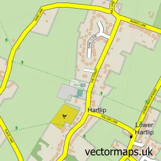
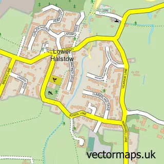
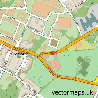
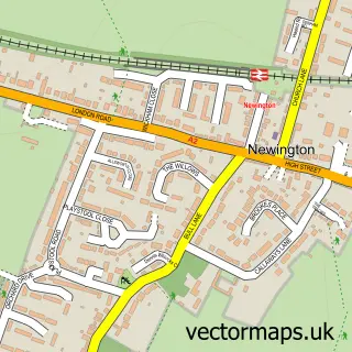
Nearby street map samples around Lower Rainham

More street maps in Kent
750 metre map area coverage
Boundary, postcode and point of interest information for the 750m x 750m rectangle centred on this sample map.
Boundaries containing map centre
Constituency: Gillingham and Rainham Boro Const
District: Medway (B)
Icb: NHS Kent and Medway ICB
Police Force: kent
Postcode District: ME8
Postcode Sector: ME8 7
Ward: Rainham North Ward
Nearby boundaries intersecting sample
No additional intersecting boundaries found.
Postcode coverage
POI category counts
Park: 2
Auto Customization: 1
Automotive: 1
Building Supply Store: 1
Bus Station: 1
Cafe: 1
Car Dealer: 1
Electrician: 1
Indian Restaurant: 1
Professional Services: 1
Sample points of interest
- AMW Performance
- Auto Edge Ltd.
- Zammit Roofing
- The Kingsferry
- Riverside Country Park Café
- Pickering Cars
- Medway Electrical
- Sundar Rachana
- Riverside Country Park
- Riverside Country Park
- Bloors Wharf
- Three Mariners Inn
Create a larger editable map of Lower Rainham
This sample shows only a 750 metre area. To create a larger map of Lower Rainham, use our map builder to choose your own coverage area, add titles and download editable SVG, PDF and PNG files.
Create a custom map of Lower Rainham