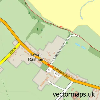
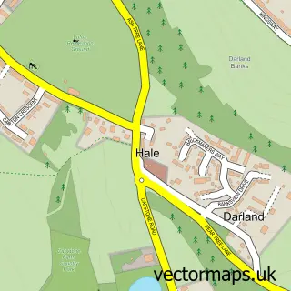
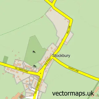
This Rainham street map is a detailed vector street map covering a 750m x 750m area. Select a larger area to create and download your own vector street map of Rainham.
The 750-metre map sample for Rainham covers 497 mapped buildings and approximately 17.9 km of road detail, of which 41 named roads are named. The immediate area includes 2 schools, 1 railway station, 2 GP surgeries, with 9 within 2 miles and 10 pubs among other local services. The wider area around Rainham features 19 food and drink venues and 1 hotel. To create a larger or custom map of Rainham, the map builder lets you define your own coverage area and download editable SVG, PDF and PNG files.
Create a larger editable map of Rainham
Choose any area you need and generate a high-quality vector map instantly. Perfect for print, planning, design, business and personal use.

This Rainham street map in Kent is available as downloadable SVG, PDF and PNG map files, or as a printed map for planning, business, display, education, local information and design work. You can also create a larger custom map area using the map selector.
What this Rainham map sample shows
Rainham lies within Medway (B) parish, part of Rainham North ward in the Medway (B) local authority area. The postcode geography for this area includes the ME postcode area, the ME8 postcode district and the ME8 7 postcode sector. Residents fall under the Nhs Kent And Medway Integrated Care Board for NHS services.
Local features near Rainham
Within 2 milesAmenities and services in and around Rainham.
Administrative and postcode information for Rainham
Rainham lies within Medway (B) parish, part of Rainham North ward in the Medway (B) local authority area. The postcode geography for this area includes the ME postcode area, the ME8 postcode district and the ME8 7 postcode sector. Residents fall under the Nhs Kent And Medway Integrated Care Board for NHS services.
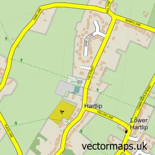
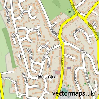
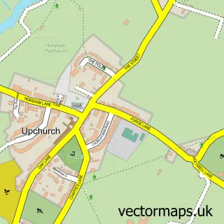
Nearby street map samples around Rainham

More street maps in Kent
750 metre map area coverage
Boundary, postcode and point of interest information for the 750m x 750m rectangle centred on this sample map.
Boundaries containing map centre
Constituency: Gillingham and Rainham Boro Const
District: Medway (B)
Icb: NHS Kent and Medway ICB
Police Force: kent
Postcode District: ME8
Postcode Sector: ME8 7
Nearby boundaries intersecting sample
Postcode Sector: ME8 0, ME8 8, ME8 9
Ward: Rainham North Ward, Rainham South East Ward, Rainham South West Ward
Postcode coverage
POI category counts
Real Estate Agent: 16
Beauty Salon: 15
Hair Salon: 12
Pub: 10
Banks: 9
Beauty And Spa: 9
Professional Services: 8
Accountant: 7
Financial Service: 6
Charity Organization: 5
Sample points of interest
- 1st Accounts UK LTD
- Osborn & Osborn
- Osborn And Co. Accountants
- Phipps Anthony Chartered Tax Advisers and Accountants
- S Akbar & Co, Chartered Accountants
- W Maurice and Co
- W. Maurice & Co. Ltd.
- The Net
- Helen O'Neill Tera Mai Reiki Master
- The Rainham Osteopathic Clinic
- St. Margarets Church
- Sue Ryder Care
Create a larger editable map of Rainham
This sample shows only a 750 metre area. To create a larger map of Rainham, use our map builder to choose your own coverage area, add titles and download editable SVG, PDF and PNG files.
Create a custom map of Rainham