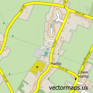
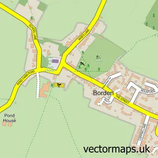
This Upchurch street map is a detailed vector street map covering a 750m x 750m area. Select a larger area to create and download your own vector street map of Upchurch.
The 750-metre map sample for Upchurch covers 142 mapped buildings and approximately 12.5 km of road detail, of which 15 named roads are named. The immediate area includes 1 school, 1 GP surgery within 2 miles, 1 pub and 9 MOT stations within 2 miles. The wider area around Upchurch features 2 food and drink venues. To create a larger or custom map of Upchurch, the map builder lets you define your own coverage area and download editable SVG, PDF and PNG files.
Create a larger editable map of Upchurch
Choose any area you need and generate a high-quality vector map instantly. Perfect for print, planning, design, business and personal use.

This Upchurch street map in Kent is available as downloadable SVG, PDF and PNG map files, or as a printed map for planning, business, display, education, local information and design work. You can also create a larger custom map area using the map selector.
What this Upchurch map sample shows
Upchurch lies within Upchurch Cp parish, part of Hartlip, Newington And Upchurch ward in the Swale District (B) local authority area. The postcode geography for this area includes the ME postcode area, the ME9 postcode district and the ME9 7 postcode sector. Residents fall under the Nhs Kent And Medway Integrated Care Board for NHS services.
Local features near Upchurch
Within 2 milesAmenities and services in and around Upchurch.
Administrative and postcode information for Upchurch
Upchurch lies within Upchurch Cp parish, part of Hartlip, Newington And Upchurch ward in the Swale District (B) local authority area. The postcode geography for this area includes the ME postcode area, the ME9 postcode district and the ME9 7 postcode sector. Residents fall under the Nhs Kent And Medway Integrated Care Board for NHS services.
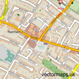
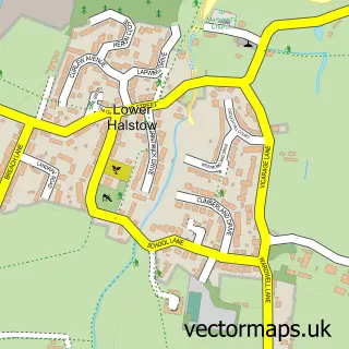
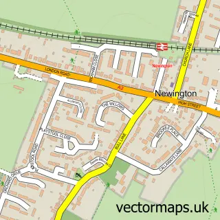
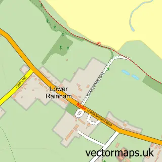
Nearby street map samples around Upchurch

More street maps in Kent
750 metre map area coverage
Boundary, postcode and point of interest information for the 750m x 750m rectangle centred on this sample map.
Boundaries containing map centre
Constituency: Sittingbourne and Sheppey Co Const
County: Kent County
District: Swale District (B)
Icb: NHS Kent and Medway ICB
Parish: Upchurch CP
Police Force: kent
Postcode District: ME9
Postcode Sector: ME9 7
Ward: Hartlip, Newington and Upchurch Ward
Nearby boundaries intersecting sample
No additional intersecting boundaries found.
Postcode coverage
POI category counts
Accountant: 1
Amateur Sports Team: 1
Anglican Church: 1
Atms: 1
Automotive Repair: 1
Bar: 1
Barber: 1
Building Supply Store: 1
Caterer: 1
Church Cathedral: 1
Sample points of interest
- Pie Accounts
- Official Upchurch CC
- St Mary the Virgin Upchurch
- The Cooperative Food (BF) Upchurch (ERF), Upchurch
- Executive Motoring Services
- Mann's World Famous Guitar Lounge
- Upchurch Barbers
- Styler Property Service
- Factory First
- St Mary's Church
- Costcutter
- Maidstone Road Surgery
Create a larger editable map of Upchurch
This sample shows only a 750 metre area. To create a larger map of Upchurch, use our map builder to choose your own coverage area, add titles and download editable SVG, PDF and PNG files.
Create a custom map of Upchurch