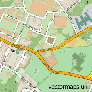
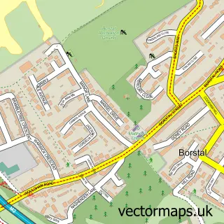
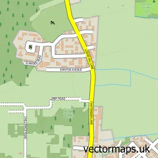
This Chatham street map is a detailed vector street map covering a 750m x 750m area. Select a larger area to create and download your own vector street map of Chatham.
The 750-metre map sample for Chatham covers 200 mapped buildings and approximately 22.4 km of road detail, of which 46 named roads are named. The immediate area includes 1 GP surgery, with 14 within 2 miles, 9 pubs and 1 MOT station, with 36 within 2 miles. The wider area around Chatham features 7 tourism points of interest, 34 food and drink venues and 1 hotel. To create a larger or custom map of Chatham, the map builder lets you define your own coverage area and download editable SVG, PDF and PNG files.
Create a larger editable map of Chatham
Choose any area you need and generate a high-quality vector map instantly. Perfect for print, planning, design, business and personal use.

This Chatham street map in Kent is available as downloadable SVG, PDF and PNG map files, or as a printed map for planning, business, display, education, local information and design work. You can also create a larger custom map area using the map selector.
What this Chatham map sample shows
Chatham lies within Medway (B) parish, part of Gillingham North ward in the Medway (B) local authority area. The postcode geography for this area includes the ME postcode area, the ME7 postcode district and the ME7 5 postcode sector. Residents fall under the Nhs Kent And Medway Integrated Care Board for NHS services.
Local features near Chatham
Within 2 milesAmenities and services in and around Chatham.
Administrative and postcode information for Chatham
Chatham lies within Medway (B) parish, part of Gillingham North ward in the Medway (B) local authority area. The postcode geography for this area includes the ME postcode area, the ME7 postcode district and the ME7 5 postcode sector. Residents fall under the Nhs Kent And Medway Integrated Care Board for NHS services.
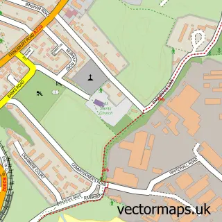
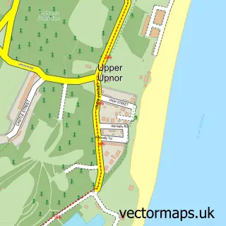
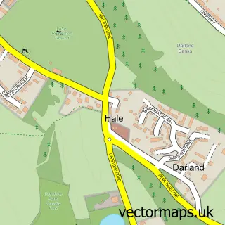
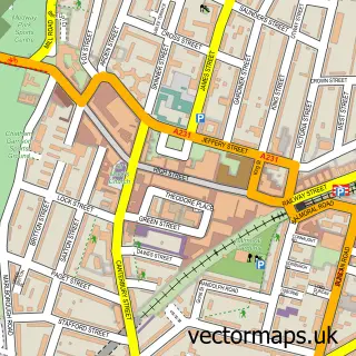
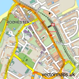
Nearby street map samples around Chatham

More street maps in Kent
750 metre map area coverage
Boundary, postcode and point of interest information for the 750m x 750m rectangle centred on this sample map.
Boundaries containing map centre
Constituency: Rochester and Strood Co Const
District: Medway (B)
Icb: NHS Kent and Medway ICB
Police Force: kent
Postcode District: ME4
Postcode Sector: ME4 4
Ward: Chatham Central & Brompton Ward
Nearby boundaries intersecting sample
Constituency: Chatham and Aylesford Co Const
Postcode District: ME7
Postcode Sector: ME4 5, ME4 6, ME7 5
Ward: Fort Pitt Ward
Postcode coverage
POI category counts
Beauty Salon: 16
Mobile Phone Store: 15
Clothing Store: 13
Hair Salon: 12
Restaurant: 12
Barber: 11
Nail Salon: 10
Real Estate Agent: 10
Automotive Repair: 9
Jewelry Store: 9
Sample points of interest
- Lidertax LTD Accountancy
- Orchard Accountants
- Medway Weightlifting Club
- Acupuncture and Herbs
- Chatham Chinese Herbal Centre
- Spanking.co.uk
- Firdous Portfolio
- M J Wildish Communications
- Tasty African Food
- Tasty African Food Restaurants
- Lighter Dawn Hypnotherapist
- St John's Chatham
Create a larger editable map of Chatham
This sample shows only a 750 metre area. To create a larger map of Chatham, use our map builder to choose your own coverage area, add titles and download editable SVG, PDF and PNG files.
Create a custom map of Chatham