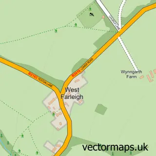
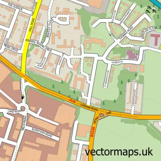
This East Farleigh street map is a detailed vector street map covering a 750m x 750m area. Select a larger area to create and download your own vector street map of East Farleigh.
The 750-metre map sample for East Farleigh covers 129 mapped buildings and approximately 7.8 km of road detail, of which 8 named roads are named. The immediate area includes 1 railway station, 5 GP surgeries within 2 miles, 2 pubs and 10 MOT stations within 2 miles. The wider area around East Farleigh features 1 tourism point of interest, 2 food and drink venues and 1 hotel. To create a larger or custom map of East Farleigh, the map builder lets you define your own coverage area and download editable SVG, PDF and PNG files.
Create a larger editable map of East Farleigh
Choose any area you need and generate a high-quality vector map instantly. Perfect for print, planning, design, business and personal use.

This East Farleigh street map in Kent is available as downloadable SVG, PDF and PNG map files, or as a printed map for planning, business, display, education, local information and design work. You can also create a larger custom map area using the map selector.
What this East Farleigh map sample shows
East Farleigh lies within East Farleigh Cp parish, part of Coxheath And Hunton ward in the Maidstone District (B) local authority area. The postcode geography for this area includes the ME postcode area, the ME15 postcode district and the ME15 0 postcode sector. Residents fall under the Nhs Kent And Medway Integrated Care Board for NHS services.
Local features near East Farleigh
Within 2 milesAmenities and services in and around East Farleigh.
Administrative and postcode information for East Farleigh
The local authority covering East Farleigh is Maidstone District (B), within the county of Kent. The settlement lies within Coxheath And Hunton ward and East Farleigh Cp civil parish. The ME15 postcode district and ME15 0 postcode sector serve the immediate area. NHS provision in the area is delivered through Maidstone And Tunbridge Wells Nhs Trust.
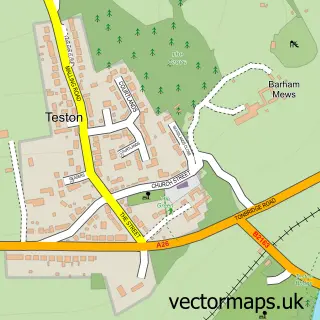
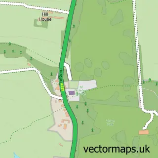
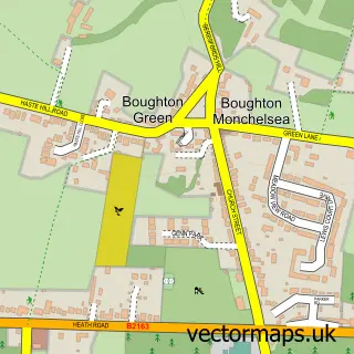
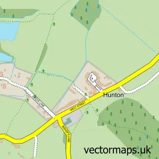
Nearby street map samples around East Farleigh
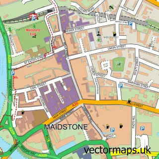

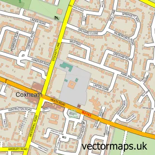
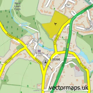
More street maps in Kent
750 metre map area coverage
Boundary, postcode and point of interest information for the 750m x 750m rectangle centred on this sample map.
Boundaries containing map centre
Constituency: Weald of Kent Co Const
County: Kent County
District: Maidstone District (B)
Icb: NHS Kent and Medway ICB
Parish: East Farleigh CP
Police Force: kent
Postcode District: ME15
Postcode Sector: ME15 0
Ward: Coxheath & Farleigh Ward
Nearby boundaries intersecting sample
Constituency: Maidstone and Malling Co Const
Parish: Barming CP
Postcode District: ME16
Postcode Sector: ME16 9
Ward: Barming Heath & Teston Ward
Postcode coverage
POI category counts
Pub: 2
Train Station: 2
Advertising Agency: 1
Anglican Church: 1
Bar: 1
Bridge: 1
Building Supply Store: 1
Canal: 1
Caterer: 1
Church Cathedral: 1
Sample points of interest
- Oliver Taylor & Turner
- The Ancient Parish of East Farleigh
- The Farleigh Bull Community Pub
- East Farleigh Bridge
- The Stone Shop (Maidstone) Ltd
- East Farleigh lock
- Sandra Field Caterer
- East Farleigh Church
- East Farleigh WI Hall
- Prism Paving
- Mid Kent Motorcycle Training
- Heatsource
Create a larger editable map of East Farleigh
This sample shows only a 750 metre area. To create a larger map of East Farleigh, use our map builder to choose your own coverage area, add titles and download editable SVG, PDF and PNG files.
Create a custom map of East Farleigh