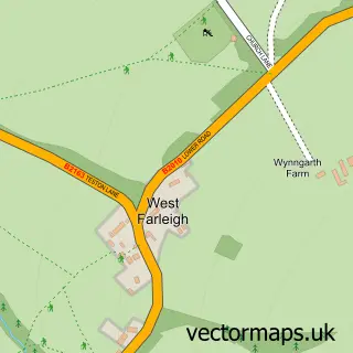
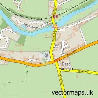
This Teston street map is a detailed vector street map covering a 750m x 750m area. Select a larger area to create and download your own vector street map of Teston.
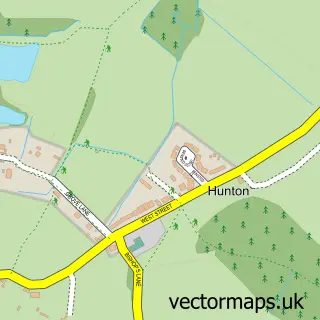
The 750-metre map sample for Teston covers 195 mapped buildings and approximately 9.7 km of road detail, of which 12 named roads are named. The immediate area includes 1 GP surgery within 2 miles and 2 MOT stations within 2 miles. The wider area around Teston features 1 tourism point of interest and 1 food and drink venue. To create a larger or custom map of Teston, the map builder lets you define your own coverage area and download editable SVG, PDF and PNG files.
Create a larger editable map of Teston
Choose any area you need and generate a high-quality vector map instantly. Perfect for print, planning, design, business and personal use.

This Teston street map in Kent is available as downloadable SVG, PDF and PNG map files, or as a printed map for planning, business, display, education, local information and design work. You can also create a larger custom map area using the map selector.
What this Teston map sample shows
Teston lies within Teston Cp parish, part of Barming And Teston ward in the Maidstone District (B) local authority area. The postcode geography for this area includes the ME postcode area, the ME18 postcode district and the ME18 5 postcode sector. Residents fall under the Nhs Kent And Medway Integrated Care Board for NHS services.
Local features near Teston
Within 2 milesAmenities and services in and around Teston.
Administrative and postcode information for Teston
The local authority covering Teston is Maidstone District (B), within the county of Kent. The settlement lies within Barming And Teston ward and Teston Cp civil parish. The ME18 postcode district and ME18 5 postcode sector serve the immediate area. NHS provision in the area is delivered through Maidstone And Tunbridge Wells Nhs Trust.
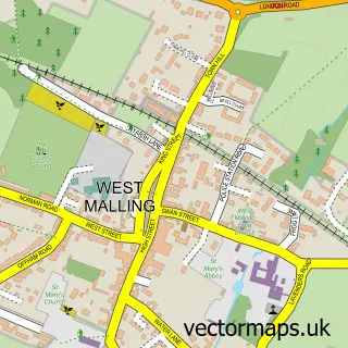
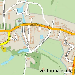
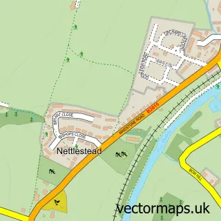
Nearby street map samples around Teston

More street maps in Kent
750 metre map area coverage
Boundary, postcode and point of interest information for the 750m x 750m rectangle centred on this sample map.
Boundaries containing map centre
Constituency: Maidstone and Malling Co Const
County: Kent County
District: Maidstone District (B)
Icb: NHS Kent and Medway ICB
Parish: Teston CP
Police Force: kent
Postcode District: ME18
Postcode Sector: ME18 5
Ward: Barming Heath & Teston Ward
Nearby boundaries intersecting sample
Parish: Barming CP
Postcode District: ME16
Postcode Sector: ME16 9
Postcode coverage
POI category counts
Advertising Agency: 4
Building Supply Store: 4
Home Health Care: 4
Nail Salon: 3
Professional Services: 3
Anglican Church: 2
Education: 2
Financial Service: 2
Korean Grocery Store: 2
Accountant: 1
Sample points of interest
- Aiteo Consulting
- Rhodes Wellness T/A Acupuncture & Herbs
- Access Dm
- ONQOR - Building Business Loyalty
- ONQOR Store
- Open Water
- Bluebird Hypnotherapy
- St Peter and St Paul's Church
- Teston: St Peter & St Paul
- Professional Solutions Mortgages
- Teston Bakery Limited
- Hair Extensions By Angels
Create a larger editable map of Teston
This sample shows only a 750 metre area. To create a larger map of Teston, use our map builder to choose your own coverage area, add titles and download editable SVG, PDF and PNG files.
Create a custom map of Teston