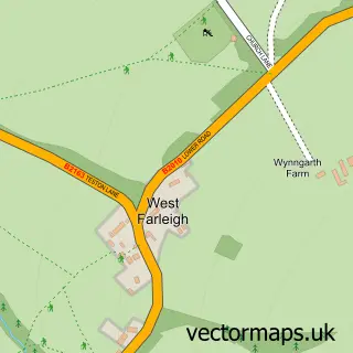
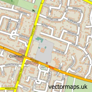
This Yalding street map is a detailed vector street map covering a 750m x 750m area. Select a larger area to create and download your own vector street map of Yalding.
The 750-metre map sample for Yalding covers 325 mapped buildings and approximately 10.6 km of road detail, of which 18 named roads are named. The immediate area includes 1 school, 1 GP surgery, 1 pub and 3 MOT stations within 2 miles. The wider area around Yalding features 1 food and drink venue. To create a larger or custom map of Yalding, the map builder lets you define your own coverage area and download editable SVG, PDF and PNG files.
Create a larger editable map of Yalding
Choose any area you need and generate a high-quality vector map instantly. Perfect for print, planning, design, business and personal use.

This Yalding street map in Kent is available as downloadable SVG, PDF and PNG map files, or as a printed map for planning, business, display, education, local information and design work. You can also create a larger custom map area using the map selector.
What this Yalding map sample shows
Yalding lies within Yalding Cp parish, part of Marden And Yalding ward in the Maidstone District (B) local authority area. The postcode geography for this area includes the ME postcode area, the ME18 postcode district and the ME18 6 postcode sector. Residents fall under the Nhs Kent And Medway Integrated Care Board for NHS services.
Local features near Yalding
Within 2 milesAmenities and services in and around Yalding.
Administrative and postcode information for Yalding
Yalding lies within Yalding Cp parish, part of Marden And Yalding ward in the Maidstone District (B) local authority area. The postcode geography for this area includes the ME postcode area, the ME18 postcode district and the ME18 6 postcode sector. Residents fall under the Nhs Kent And Medway Integrated Care Board for NHS services.
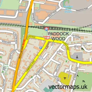
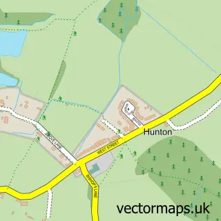
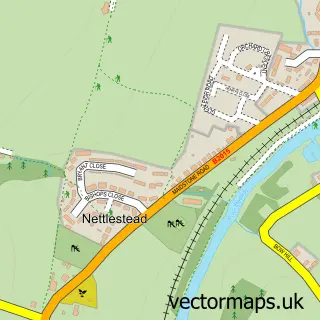
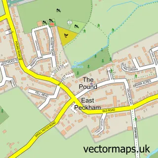
Nearby street map samples around Yalding

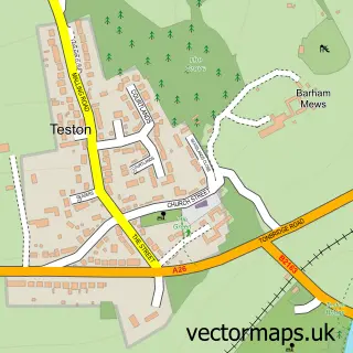
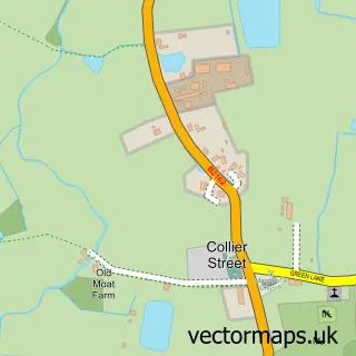
More street maps in Kent
750 metre map area coverage
Boundary, postcode and point of interest information for the 750m x 750m rectangle centred on this sample map.
Boundaries containing map centre
Constituency: Weald of Kent Co Const
County: Kent County
District: Maidstone District (B)
Icb: NHS Kent and Medway ICB
Parish: Yalding CP
Police Force: kent
Postcode District: ME18
Postcode Sector: ME18 6
Ward: Marden & Yalding Ward
Nearby boundaries intersecting sample
No additional intersecting boundaries found.
Postcode coverage
POI category counts
Bus Station: 2
Church Cathedral: 2
Elementary School: 2
Indian Restaurant: 2
Post Office: 2
Sports Club And League: 2
Tea Room: 2
Antique Store: 1
Appliance Store: 1
Art Gallery: 1
Sample points of interest
- Two Brewers Clocks and Antiques
- Parkinsons Appliance Services
- Riverside Popup Gallery
- Select Mortgages
- Yalding Baptist Church
- Royal Tunbridge Wells Spa Co
- W K N Coaches Ltd.
- WKN Coaches
- Yalding Baby & Toddler Group
- St Pauls/St Peters Church, Yalding, Maidstone
- St Peter & St Paul's Church
- Seal Insulation
Create a larger editable map of Yalding
This sample shows only a 750 metre area. To create a larger map of Yalding, use our map builder to choose your own coverage area, add titles and download editable SVG, PDF and PNG files.
Create a custom map of Yalding