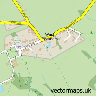
This Wateringbury street map is a detailed vector street map covering a 750m x 750m area. Select a larger area to create and download your own vector street map of Wateringbury.
The 750-metre map sample for Wateringbury covers 184 mapped buildings and approximately 9.8 km of road detail, of which 13 named roads are named. The immediate area includes 2 GP surgeries within 2 miles and 2 MOT stations within 2 miles. The wider area around Wateringbury features 1 tourism point of interest. To create a larger or custom map of Wateringbury, the map builder lets you define your own coverage area and download editable SVG, PDF and PNG files.
Create a larger editable map of Wateringbury
Choose any area you need and generate a high-quality vector map instantly. Perfect for print, planning, design, business and personal use.

This Wateringbury street map in Kent is available as downloadable SVG, PDF and PNG map files, or as a printed map for planning, business, display, education, local information and design work. You can also create a larger custom map area using the map selector.
What this Wateringbury map sample shows
Wateringbury lies within Wateringbury Cp parish, part of Wateringbury ward in the Tonbridge And Malling District (B) local authority area. The postcode geography for this area includes the ME postcode area, the ME18 postcode district and the ME18 5 postcode sector. Residents fall under the Nhs Kent And Medway Integrated Care Board for NHS services.
Local features near Wateringbury
Within 2 milesAmenities and services in and around Wateringbury.
Administrative and postcode information for Wateringbury
Wateringbury lies within Wateringbury Cp parish, part of Wateringbury ward in the Tonbridge And Malling District (B) local authority area. The postcode geography for this area includes the ME postcode area, the ME18 postcode district and the ME18 5 postcode sector. Residents fall under the Nhs Kent And Medway Integrated Care Board for NHS services.
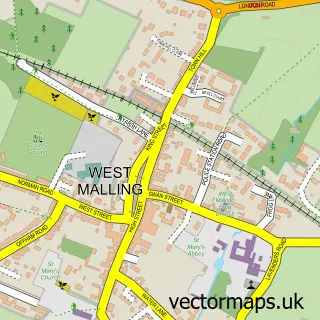
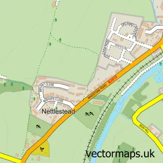
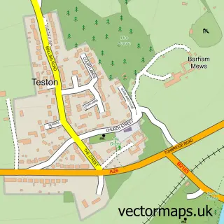
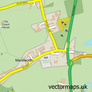
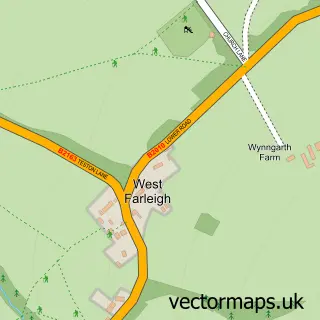
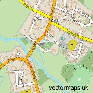
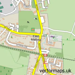
Nearby street map samples around Wateringbury

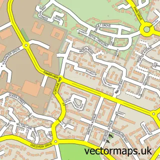
More street maps in Kent
750 metre map area coverage
Boundary, postcode and point of interest information for the 750m x 750m rectangle centred on this sample map.
Boundaries containing map centre
Constituency: Tonbridge Co Const
County: Kent County
District: Tonbridge and Malling District (B)
Icb: NHS Kent and Medway ICB
Parish: Wateringbury CP
Police Force: kent
Postcode District: ME18
Postcode Sector: ME18 5
Ward: East and West Peckham, Mereworth & Wateringbury Ward
Nearby boundaries intersecting sample
No additional intersecting boundaries found.
Postcode coverage
POI category counts
Anglican Church: 2
Contractor: 2
Scout Hall: 2
Appliance Store: 1
Architectural Designer: 1
Auto Parts And Supply Store: 1
Bathroom Remodeling: 1
Building Supply Store: 1
Charity Organization: 1
Counseling And Mental Health: 1
Sample points of interest
- St John the Baptist's Church
- Wateringbury: St John The Baptist
- Household Innovations
- Felix Lewis Architects
- Match fit Lifestyle Ltd.
- Your Bathroom Company
- Easy Fit Glass
- Wateringbury Scout Group
- Barton Block Paving
- LTD Ceramics
- The Therapy Cabin
- Gordon L Diment
Create a larger editable map of Wateringbury
This sample shows only a 750 metre area. To create a larger map of Wateringbury, use our map builder to choose your own coverage area, add titles and download editable SVG, PDF and PNG files.
Create a custom map of Wateringbury