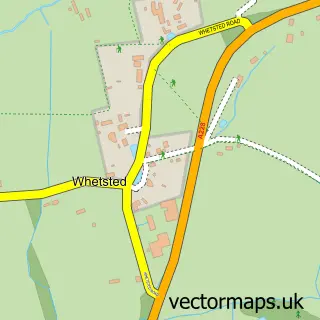
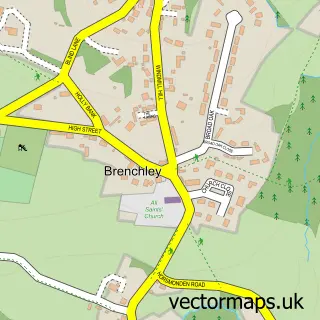
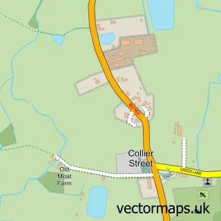
This Paddock Wood street map is a detailed vector street map covering a 750m x 750m area. Select a larger area to create and download your own vector street map of Paddock Wood.
The 750-metre map sample for Paddock Wood covers 373 mapped buildings and approximately 17.0 km of road detail, of which 28 named roads are named. The immediate area includes 1 school, 1 railway station, 1 GP surgery and 2 pubs among other local services. The wider area around Paddock Wood features 10 food and drink venues and 1 campsite within 2 miles. To create a larger or custom map of Paddock Wood, the map builder lets you define your own coverage area and download editable SVG, PDF and PNG files.
Create a larger editable map of Paddock Wood
Choose any area you need and generate a high-quality vector map instantly. Perfect for print, planning, design, business and personal use.

This Paddock Wood street map in Kent is available as downloadable SVG, PDF and PNG map files, or as a printed map for planning, business, display, education, local information and design work. You can also create a larger custom map area using the map selector.
What this Paddock Wood map sample shows
Paddock Wood lies within Paddock Wood Cp parish, part of Paddock Wood West ward in the Tunbridge Wells District (B) local authority area. The postcode geography for this area includes the TN postcode area, the TN12 postcode district and the TN12 6 postcode sector. Residents fall under the Nhs Kent And Medway Integrated Care Board for NHS services.
Local features near Paddock Wood
Within 2 milesAmenities and services in and around Paddock Wood.
Administrative and postcode information for Paddock Wood
Paddock Wood lies within Paddock Wood Cp parish, part of Paddock Wood West ward in the Tunbridge Wells District (B) local authority area. The postcode geography for this area includes the TN postcode area, the TN12 postcode district and the TN12 6 postcode sector. Residents fall under the Nhs Kent And Medway Integrated Care Board for NHS services.
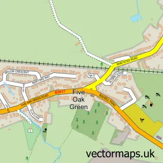
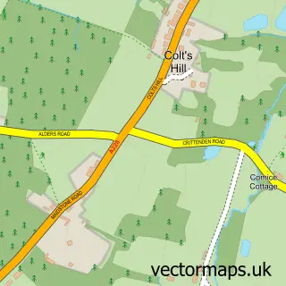
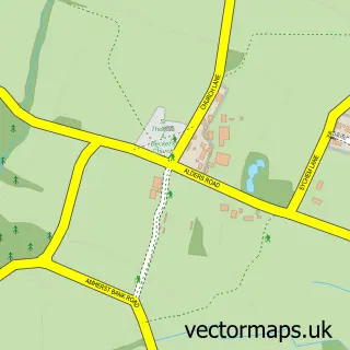
Nearby street map samples around Paddock Wood

More street maps in Kent
750 metre map area coverage
Boundary, postcode and point of interest information for the 750m x 750m rectangle centred on this sample map.
Boundaries containing map centre
Constituency: Tunbridge Wells Co Const
County: Kent County
District: Tunbridge Wells District (B)
Icb: NHS Kent and Medway ICB
Parish: Paddock Wood CP
Police Force: kent
Postcode District: TN12
Postcode Sector: TN12 6
Ward: Paddock Wood Ward
Nearby boundaries intersecting sample
No additional intersecting boundaries found.
Postcode coverage
POI category counts
Hair Salon: 7
Coffee Shop: 5
Gas Station: 5
Printing Services: 5
Real Estate Agent: 5
Automotive Repair: 4
Building Supply Store: 4
Dry Cleaning: 4
Flowers And Gifts Shop: 4
Parking: 4
Sample points of interest
- CAL Accountancy
- TaxAssist Accountants
- Paddock Wood Golf Society
- H D Marketing
- HD Marketing Ltd
- The Marketing Solution
- Jane Alton
- ScanTherm
- MFG - Paddock Wood (MRH)
- The S Works R53 ltd
- Paddock Wood Auto Repairs
- Paddock Wood MOT Service and Repairs
Create a larger editable map of Paddock Wood
This sample shows only a 750 metre area. To create a larger map of Paddock Wood, use our map builder to choose your own coverage area, add titles and download editable SVG, PDF and PNG files.
Create a custom map of Paddock Wood