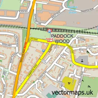
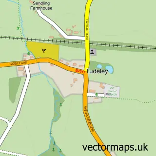
This Matfield street map is a detailed vector street map covering a 750m x 750m area. Select a larger area to create and download your own vector street map of Matfield.
The 750-metre map sample for Matfield covers 152 mapped buildings and approximately 8.0 km of road detail, of which 9 named roads are named. The immediate area includes 2 GP surgeries within 2 miles, 1 pub and 2 MOT stations within 2 miles. The wider area around Matfield features 1 tourism point of interest, 2 food and drink venues and 1 hotel. To create a larger or custom map of Matfield, the map builder lets you define your own coverage area and download editable SVG, PDF and PNG files.
Create a larger editable map of Matfield
Choose any area you need and generate a high-quality vector map instantly. Perfect for print, planning, design, business and personal use.

This Matfield street map in Kent is available as downloadable SVG, PDF and PNG map files, or as a printed map for planning, business, display, education, local information and design work. You can also create a larger custom map area using the map selector.
What this Matfield map sample shows
Matfield lies within Brenchley And Matfield Cp parish, part of Brenchley And Horsmonden ward in the Tunbridge Wells District (B) local authority area. The postcode geography for this area includes the TN postcode area, the TN12 postcode district and the TN12 7 postcode sector. Residents fall under the Nhs Kent And Medway Integrated Care Board for NHS services.
Local features near Matfield
Within 2 milesAmenities and services in and around Matfield.
Administrative and postcode information for Matfield
The local authority covering Matfield is Tunbridge Wells District (B), within the county of Kent. The settlement lies within Brenchley And Horsmonden ward and Brenchley And Matfield Cp civil parish. The TN12 postcode district and TN12 7 postcode sector serve the immediate area. NHS provision in the area is delivered through Maidstone And Tunbridge Wells Nhs Trust.
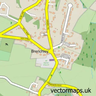
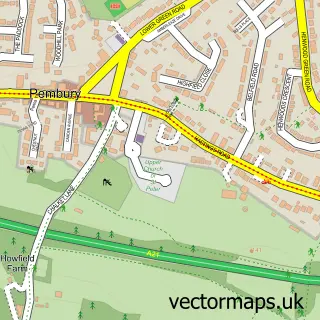
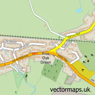
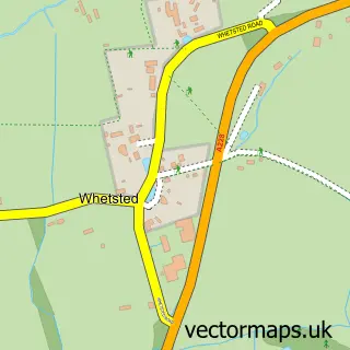
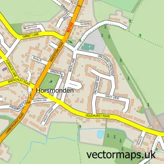
Nearby street map samples around Matfield

More street maps in Kent
750 metre map area coverage
Boundary, postcode and point of interest information for the 750m x 750m rectangle centred on this sample map.
Boundaries containing map centre
Constituency: Tunbridge Wells Co Const
County: Kent County
District: Tunbridge Wells District (B)
Icb: NHS Kent and Medway ICB
Parish: Brenchley and Matfield CP
Police Force: kent
Postcode District: TN12
Postcode Sector: TN12 7
Ward: Rural Tunbridge Wells Ward
Nearby boundaries intersecting sample
No additional intersecting boundaries found.
Postcode coverage
POI category counts
Butcher Shop: 2
Auto Detailing: 1
Automotive Repair: 1
Car Dealer: 1
Community Center: 1
Convenience Store: 1
Farm: 1
Gastropub: 1
Holiday Rental Home: 1
Hotel: 1
Sample points of interest
- SuperCar Paint Protection
- I G Collins
- Hammonds Butchers
- Mark & Sons
- West Kent Auto
- Matfield Village Hall
- Inn Store
- Springfields Eggs
- Star Inn
- Rose Cottage
- Clock Tower
- Bickmore Lock & Glass
Create a larger editable map of Matfield
This sample shows only a 750 metre area. To create a larger map of Matfield, use our map builder to choose your own coverage area, add titles and download editable SVG, PDF and PNG files.
Create a custom map of Matfield