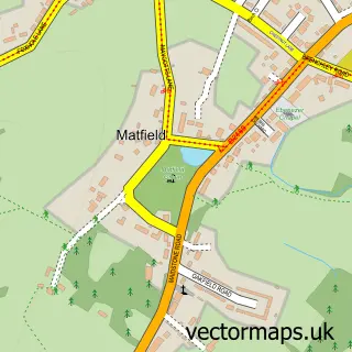
This Pembury street map is a detailed vector street map covering a 750m x 750m area. Select a larger area to create and download your own vector street map of Pembury.
The 750-metre map sample for Pembury covers 338 mapped buildings and approximately 14.8 km of road detail, of which 17 named roads are named. The immediate area includes 2 GP surgeries within 2 miles, 3 pubs and 9 MOT stations within 2 miles. The wider area around Pembury features 2 tourism points of interest, 3 food and drink venues and 2 campsites within 2 miles. To create a larger or custom map of Pembury, the map builder lets you define your own coverage area and download editable SVG, PDF and PNG files.
Create a larger editable map of Pembury
Choose any area you need and generate a high-quality vector map instantly. Perfect for print, planning, design, business and personal use.

This Pembury street map in Kent is available as downloadable SVG, PDF and PNG map files, or as a printed map for planning, business, display, education, local information and design work. You can also create a larger custom map area using the map selector.
What this Pembury map sample shows
Pembury lies within Pembury Cp parish, part of Pembury ward in the Tunbridge Wells District (B) local authority area. The postcode geography for this area includes the TN postcode area, the TN2 postcode district and the TN2 4 postcode sector. Residents fall under the Nhs Kent And Medway Integrated Care Board for NHS services.
Local features near Pembury
Within 2 milesAmenities and services in and around Pembury.
Administrative and postcode information for Pembury
Pembury lies within Pembury Cp parish, part of Pembury ward in the Tunbridge Wells District (B) local authority area. The postcode geography for this area includes the TN postcode area, the TN2 postcode district and the TN2 4 postcode sector. Residents fall under the Nhs Kent And Medway Integrated Care Board for NHS services.
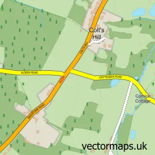
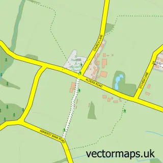
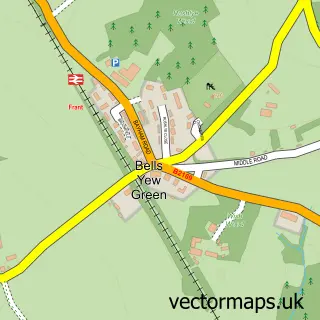
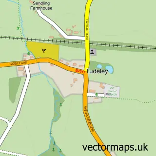
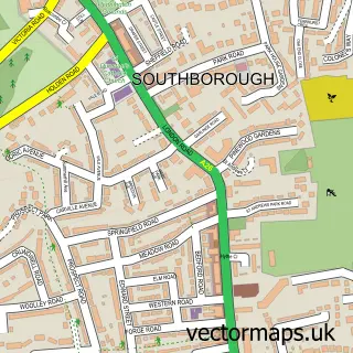
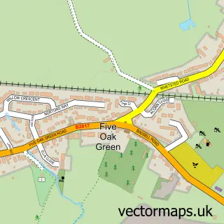
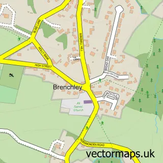
Nearby street map samples around Pembury


More street maps in Kent
750 metre map area coverage
Boundary, postcode and point of interest information for the 750m x 750m rectangle centred on this sample map.
Boundaries containing map centre
Constituency: Tunbridge Wells Co Const
County: Kent County
District: Tunbridge Wells District (B)
Icb: NHS Kent and Medway ICB
Parish: Pembury CP
Police Force: kent
Postcode District: TN2
Postcode Sector: TN2 4
Ward: Pembury & Capel Ward
Nearby boundaries intersecting sample
No additional intersecting boundaries found.
Postcode coverage
POI category counts
Beauty Salon: 3
Post Office: 3
Pub: 3
Anglican Church: 2
Chinese Restaurant: 2
Convenience Store: 2
Hair Salon: 2
Hvac Services: 2
Real Estate Agent: 2
Attractions And Activities: 1
Sample points of interest
- St Peter's Church
- The Upper Church of St. Peter, Pembury
- Pembury Dance
- Green Tec
- NatWest
- NatWest Mobile Branch
- Beluga Bar & Restaurant
- The Barber Lounge Pembury
- Linsay's Beauty and Treatment Rooms
- Michelle Bowman
- Nails & Beauty Tres Beau
- Ben Langston Window Cleaning
Create a larger editable map of Pembury
This sample shows only a 750 metre area. To create a larger map of Pembury, use our map builder to choose your own coverage area, add titles and download editable SVG, PDF and PNG files.
Create a custom map of Pembury