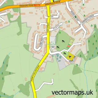
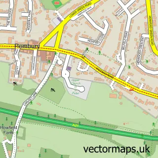
This Southborough street map is a detailed vector street map covering a 750m x 750m area. Select a larger area to create and download your own vector street map of Southborough.
The 750-metre map sample for Southborough covers 494 mapped buildings and approximately 18.0 km of road detail, of which 44 named roads are named. The immediate area includes 1 GP surgery, with 6 within 2 miles, 1 pub and 17 MOT stations within 2 miles. The wider area around Southborough features 1 tourism point of interest, 7 food and drink venues and 1 campsite within 2 miles. To create a larger or custom map of Southborough, the map builder lets you define your own coverage area and download editable SVG, PDF and PNG files.
Create a larger editable map of Southborough
Choose any area you need and generate a high-quality vector map instantly. Perfect for print, planning, design, business and personal use.

This Southborough street map in Kent is available as downloadable SVG, PDF and PNG map files, or as a printed map for planning, business, display, education, local information and design work. You can also create a larger custom map area using the map selector.
What this Southborough map sample shows
Southborough lies within Southborough Cp parish, part of Southborough North ward in the Tunbridge Wells District (B) local authority area. The postcode geography for this area includes the TN postcode area, the TN4 postcode district and the TN4 0 postcode sector. Residents fall under the Nhs Kent And Medway Integrated Care Board for NHS services.
Local features near Southborough
Within 2 milesAmenities and services in and around Southborough.
Administrative and postcode information for Southborough
The local authority covering Southborough is Tunbridge Wells District (B), within the county of Kent. The settlement lies within Southborough North ward and Southborough Cp civil parish. The TN4 postcode district and TN4 0 postcode sector serve the immediate area. NHS provision in the area is delivered through Maidstone And Tunbridge Wells Nhs Trust.
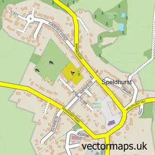
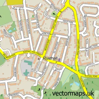
Nearby street map samples around Southborough


More street maps in Kent
750 metre map area coverage
Boundary, postcode and point of interest information for the 750m x 750m rectangle centred on this sample map.
Boundaries containing map centre
Constituency: Tunbridge Wells Co Const
County: Kent County
District: Tunbridge Wells District (B)
Icb: NHS Kent and Medway ICB
Parish: Southborough CP
Police Force: kent
Postcode District: TN4
Postcode Sector: TN4 0
Ward: Southborough & Bidborough Ward
Nearby boundaries intersecting sample
No additional intersecting boundaries found.
Postcode coverage
POI category counts
Beauty Salon: 7
Convenience Store: 6
Hair Salon: 5
It Service And Computer Repair: 5
Professional Services: 5
Retail: 5
Accountant: 4
Cafe: 4
Retirement Home: 4
Assisted Living Facility: 3
Sample points of interest
- Conradi Morrison & Co.
- Naylor Accountancy Services Ltd.
- Naylor Accountancy Tunbridge Wells
- Raymond Benn & Co
- Gulp Creative
- Remedy Creative
- Thermo-Auricular Therapy
- Tunbridge Wells Youth Football Club
- Christ Church
- Blooms
- Ruby & Jo
- Chris Anderson Architects
Create a larger editable map of Southborough
This sample shows only a 750 metre area. To create a larger map of Southborough, use our map builder to choose your own coverage area, add titles and download editable SVG, PDF and PNG files.
Create a custom map of Southborough