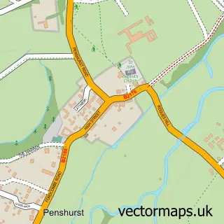
This Bidborough street map is a detailed vector street map covering a 750m x 750m area. Select a larger area to create and download your own vector street map of Bidborough.
The 750-metre map sample for Bidborough covers 230 mapped buildings and approximately 9.3 km of road detail, of which 13 named roads are named. The immediate area includes 1 school, 1 GP surgery within 2 miles, 1 pub and 3 MOT stations within 2 miles. The wider area around Bidborough features 1 food and drink venue and 1 campsite within 2 miles. To create a larger or custom map of Bidborough, the map builder lets you define your own coverage area and download editable SVG, PDF and PNG files.
Create a larger editable map of Bidborough
Choose any area you need and generate a high-quality vector map instantly. Perfect for print, planning, design, business and personal use.

This Bidborough street map in Kent is available as downloadable SVG, PDF and PNG map files, or as a printed map for planning, business, display, education, local information and design work. You can also create a larger custom map area using the map selector.
What this Bidborough map sample shows
Bidborough lies within Bidborough Cp parish, part of Speldhurst And Bidborough ward in the Tunbridge Wells District (B) local authority area. The postcode geography for this area includes the TN postcode area, the TN3 postcode district and the TN3 0 postcode sector. Residents fall under the Nhs Kent And Medway Integrated Care Board for NHS services.
Local features near Bidborough
Within 2 milesAmenities and services in and around Bidborough.
Administrative and postcode information for Bidborough
Bidborough lies within Bidborough Cp parish, part of Speldhurst And Bidborough ward in the Tunbridge Wells District (B) local authority area. The postcode geography for this area includes the TN postcode area, the TN3 postcode district and the TN3 0 postcode sector. Residents fall under the Nhs Kent And Medway Integrated Care Board for NHS services.
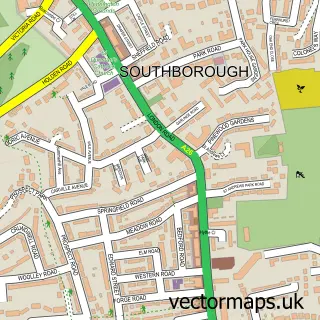
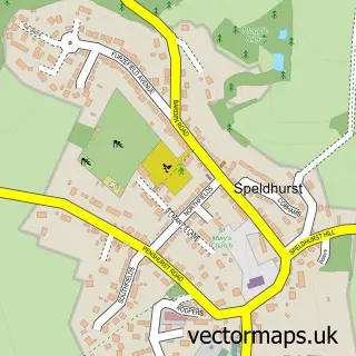
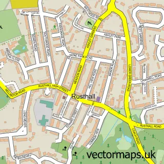
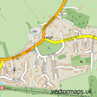
Nearby street map samples around Bidborough


More street maps in Kent
750 metre map area coverage
Boundary, postcode and point of interest information for the 750m x 750m rectangle centred on this sample map.
Boundaries containing map centre
Constituency: Tunbridge Wells Co Const
County: Kent County
District: Tunbridge Wells District (B)
Icb: NHS Kent and Medway ICB
Parish: Bidborough CP
Police Force: kent
Postcode District: TN3
Postcode Sector: TN3 0
Ward: Southborough & Bidborough Ward
Nearby boundaries intersecting sample
Parish: Southborough CP
Postcode District: TN4
Postcode Sector: TN4 0
Postcode coverage
POI category counts
Elementary School: 2
Gas Station: 2
Anglican Church: 1
Beauty Salon: 1
Building Contractor: 1
Community Center: 1
Contractor: 1
Courier And Delivery Services: 1
Food Delivery Service: 1
Gym: 1
Sample points of interest
- St Lawrence
- Symmetry Beauty
- Ilex Design & Build
- Bidborough Village Hall
- Precision Building and Landscaping Services Limited
- Evri ParcelShop
- Bidborough C of E Primary School
- Bidborough Church of England Voluntary Controlled Primary School
- Evri ParcelShop
- Pace
- Pace
- The Power Couple
Create a larger editable map of Bidborough
This sample shows only a 750 metre area. To create a larger map of Bidborough, use our map builder to choose your own coverage area, add titles and download editable SVG, PDF and PNG files.
Create a custom map of Bidborough