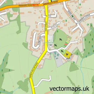
This Fordcombe street map is a detailed vector street map covering a 750m x 750m area. Select a larger area to create and download your own vector street map of Fordcombe.
The 750-metre map sample for Fordcombe covers 112 mapped buildings and approximately 6.1 km of road detail, of which 6 named roads are named. The immediate area includes 1 school, 2 GP surgeries within 2 miles, 1 pub and 1 MOT station within 2 miles. The wider area around Fordcombe features 1 food and drink venue and 1 campsite within 2 miles. To create a larger or custom map of Fordcombe, the map builder lets you define your own coverage area and download editable SVG, PDF and PNG files.
Create a larger editable map of Fordcombe
Choose any area you need and generate a high-quality vector map instantly. Perfect for print, planning, design, business and personal use.

This Fordcombe street map in Kent is available as downloadable SVG, PDF and PNG map files, or as a printed map for planning, business, display, education, local information and design work. You can also create a larger custom map area using the map selector.
What this Fordcombe map sample shows
Fordcombe lies within Penshurst Cp parish, part of Penshurst, Fordcombe And Chiddingstone ward in the Sevenoaks District local authority area. The postcode geography for this area includes the TN postcode area, the TN3 postcode district and the TN3 0 postcode sector. Residents fall under the Nhs Kent And Medway Integrated Care Board for NHS services.
Local features near Fordcombe
Within 2 milesAmenities and services in and around Fordcombe.
Administrative and postcode information for Fordcombe
Fordcombe lies within Penshurst Cp parish, part of Penshurst, Fordcombe And Chiddingstone ward in the Sevenoaks District local authority area. The postcode geography for this area includes the TN postcode area, the TN3 postcode district and the TN3 0 postcode sector. Residents fall under the Nhs Kent And Medway Integrated Care Board for NHS services.
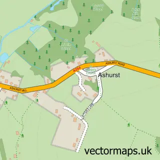
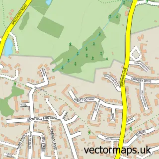
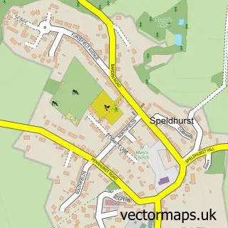
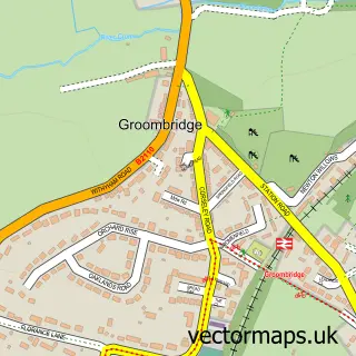
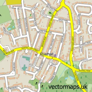
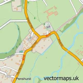
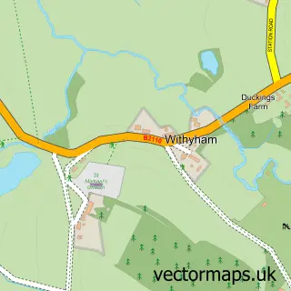
Nearby street map samples around Fordcombe


More street maps in Kent
750 metre map area coverage
Boundary, postcode and point of interest information for the 750m x 750m rectangle centred on this sample map.
Boundaries containing map centre
Constituency: Tonbridge Co Const
County: Kent County
District: Sevenoaks District
Icb: NHS Kent and Medway ICB
Parish: Penshurst CP
Police Force: kent
Postcode District: TN3
Postcode Sector: TN3 0
Ward: Penshurst, Fordcombe and Chiddingstone Ward
Nearby boundaries intersecting sample
No additional intersecting boundaries found.
Postcode coverage
POI category counts
Elementary School: 3
Anglican Church: 1
Chimney Sweep: 1
Farm: 1
It Service And Computer Repair: 1
Music Production: 1
Naturopathic Holistic: 1
Nursing School: 1
Pub: 1
Stadium Arena: 1
Sample points of interest
- St Peter's, Fordcombe
- Harris Chimney Sweep
- Fordcombe C of E Primary School
- Fordcombe Church of England Primary School
- Manic Monsters
- Mitre Farm Christmas Trees
- MRDC Software
- Doz Recording Studios
- Sanjana Holistic Health
- Spire Tunbridge Wells Hospital
- Chafford Arms Ltd
- Fordcombe Village Green
Create a larger editable map of Fordcombe
This sample shows only a 750 metre area. To create a larger map of Fordcombe, use our map builder to choose your own coverage area, add titles and download editable SVG, PDF and PNG files.
Create a custom map of Fordcombe