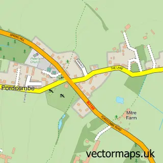
This Ashurst street map is a detailed vector street map covering a 750m x 750m area. Select a larger area to create and download your own vector street map of Ashurst.
The 750-metre map sample for Ashurst covers 58 mapped buildings and approximately 3.8 km of road detail, of which 3 named roads are named. The immediate area includes 1 GP surgery within 2 miles and 1 MOT station within 2 miles. The wider area around Ashurst features 1 tourism point of interest and 1 campsite within 2 miles. To create a larger or custom map of Ashurst, the map builder lets you define your own coverage area and download editable SVG, PDF and PNG files.
Create a larger editable map of Ashurst
Choose any area you need and generate a high-quality vector map instantly. Perfect for print, planning, design, business and personal use.

This Ashurst street map in Kent is available as downloadable SVG, PDF and PNG map files, or as a printed map for planning, business, display, education, local information and design work. You can also create a larger custom map area using the map selector.
What this Ashurst map sample shows
Ashurst lies within Withyham Cp parish, part of Speldhurst And Bidborough ward in the Wealden District local authority area. The postcode geography for this area includes the TN postcode area, the TN3 postcode district and the TN3 9 postcode sector. Residents fall under the Nhs Kent And Medway Integrated Care Board for NHS services.
Local features near Ashurst
Within 2 milesAmenities and services in and around Ashurst.
Administrative and postcode information for Ashurst
The local authority covering Ashurst is Wealden District, within the county of Kent. The settlement lies within Speldhurst And Bidborough ward and Withyham Cp civil parish. The TN3 postcode district and TN3 9 postcode sector serve the immediate area. NHS provision in the area is delivered through Maidstone And Tunbridge Wells Nhs Trust.
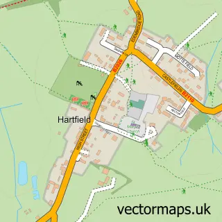
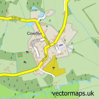
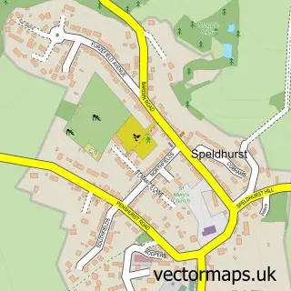
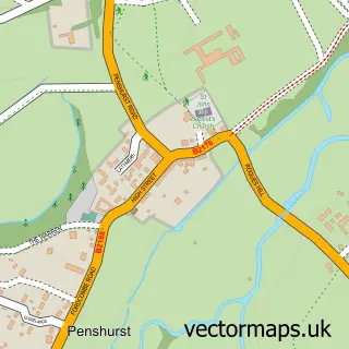
Nearby street map samples around Ashurst


More street maps in Kent
750 metre map area coverage
Boundary, postcode and point of interest information for the 750m x 750m rectangle centred on this sample map.
Boundaries containing map centre
Constituency: Tunbridge Wells Co Const
County: Kent County
District: Tunbridge Wells District (B)
Icb: NHS Kent and Medway ICB
Parish: Speldhurst CP
Police Force: kent
Postcode District: TN3
Postcode Sector: TN3 9
Ward: Rusthall & Speldhurst Ward
Nearby boundaries intersecting sample
Constituency: Tonbridge Co Const
District: Sevenoaks District
Ward: Penshurst, Fordcombe and Chiddingstone Ward
Postcode coverage
POI category counts
Anglican Church: 1
Construction Services: 1
Event Planning: 1
Landmark And Historical Building: 1
Naturopathic Holistic: 1
Travel Agents: 1
Sample points of interest
- St Martin of Tours
- Total Building and Roofing
- Ashurst Village Halll
- Ashurst
- Anqa Holistic Healing
- Southern
Create a larger editable map of Ashurst
This sample shows only a 750 metre area. To create a larger map of Ashurst, use our map builder to choose your own coverage area, add titles and download editable SVG, PDF and PNG files.
Create a custom map of Ashurst