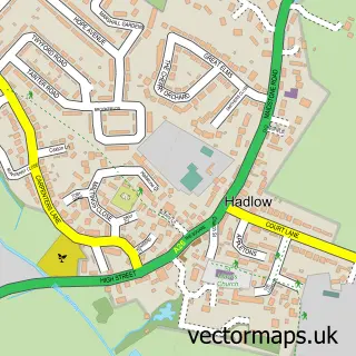
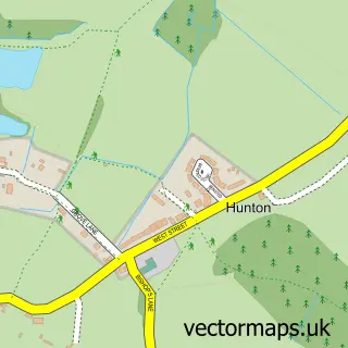
This East Peckham street map is a detailed vector street map covering a 750m x 750m area. Select a larger area to create and download your own vector street map of East Peckham.
The 750-metre map sample for East Peckham covers 350 mapped buildings and approximately 9.7 km of road detail, of which 21 named roads are named. The immediate area includes 1 school, 1 GP surgery within 2 miles and 3 MOT stations within 2 miles. The wider area around East Peckham features 2 food and drink venues and 1 campsite within 2 miles. To create a larger or custom map of East Peckham, the map builder lets you define your own coverage area and download editable SVG, PDF and PNG files.
Create a larger editable map of East Peckham
Choose any area you need and generate a high-quality vector map instantly. Perfect for print, planning, design, business and personal use.

This East Peckham street map in Kent is available as downloadable SVG, PDF and PNG map files, or as a printed map for planning, business, display, education, local information and design work. You can also create a larger custom map area using the map selector.
What this East Peckham map sample shows
East Peckham lies within East Peckham Cp parish, part of Hadlow And East Peckham ward in the Tonbridge And Malling District (B) local authority area. The postcode geography for this area includes the TN postcode area, the TN12 postcode district and the TN12 5 postcode sector. Residents fall under the Nhs Kent And Medway Integrated Care Board for NHS services.
Local features near East Peckham
Within 2 milesAmenities and services in and around East Peckham.
Administrative and postcode information for East Peckham
East Peckham lies within East Peckham Cp parish, part of Hadlow And East Peckham ward in the Tonbridge And Malling District (B) local authority area. The postcode geography for this area includes the TN postcode area, the TN12 postcode district and the TN12 5 postcode sector. Residents fall under the Nhs Kent And Medway Integrated Care Board for NHS services.
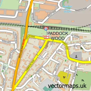
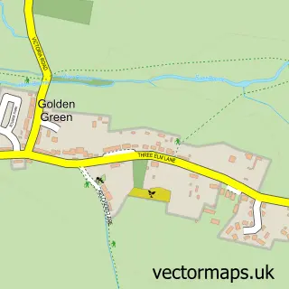
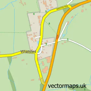
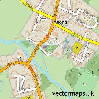
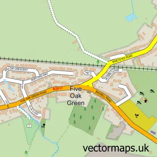
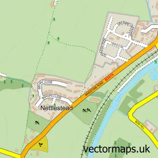
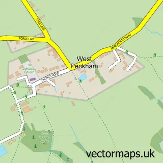
Nearby street map samples around East Peckham

More street maps in Kent
750 metre map area coverage
Boundary, postcode and point of interest information for the 750m x 750m rectangle centred on this sample map.
Boundaries containing map centre
Constituency: Tonbridge Co Const
County: Kent County
District: Tonbridge and Malling District (B)
Icb: NHS Kent and Medway ICB
Parish: East Peckham CP
Police Force: kent
Postcode District: TN12
Postcode Sector: TN12 5
Ward: East and West Peckham, Mereworth & Wateringbury Ward
Nearby boundaries intersecting sample
No additional intersecting boundaries found.
Postcode coverage
POI category counts
Post Office: 3
Building Supply Store: 2
Butcher Shop: 2
Community Services Non Profits: 2
Professional Services: 2
Advertising Agency: 1
Architectural Designer: 1
Asian Restaurant: 1
Atms: 1
Beauty Salon: 1
Sample points of interest
- Tag Media Limited
- SJM Projects
- Oriental Gourmet Kitchen
- The Cooperative Food (BF) East Peckham, East Peckham
- Blossoming Nails And Beauty
- Travis Perkins
- Travis Perkins
- East Peckham Village Stores
- The Village Butcher and Store
- The Village Coffee and Wine Bar
- Abbey Flooring
- East Peckham Salvation Army
Create a larger editable map of East Peckham
This sample shows only a 750 metre area. To create a larger map of East Peckham, use our map builder to choose your own coverage area, add titles and download editable SVG, PDF and PNG files.
Create a custom map of East Peckham