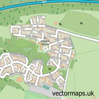
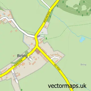
This Offham street map is a detailed vector street map covering a 750m x 750m area. Select a larger area to create and download your own vector street map of Offham.
The 750-metre map sample for Offham covers 215 mapped buildings and approximately 9.9 km of road detail, of which 7 named roads are named. The immediate area includes 1 GP surgery within 2 miles, 1 pub and 4 MOT stations within 2 miles. The wider area around Offham features 1 food and drink venue and 1 campsite within 2 miles. To create a larger or custom map of Offham, the map builder lets you define your own coverage area and download editable SVG, PDF and PNG files.
Create a larger editable map of Offham
Choose any area you need and generate a high-quality vector map instantly. Perfect for print, planning, design, business and personal use.

This Offham street map in Kent is available as downloadable SVG, PDF and PNG map files, or as a printed map for planning, business, display, education, local information and design work. You can also create a larger custom map area using the map selector.
What this Offham map sample shows
Offham lies within Offham Cp parish, part of Downs And Mereworth ward in the Tonbridge And Malling District (B) local authority area. The postcode geography for this area includes the ME postcode area, the ME19 postcode district and the ME19 5 postcode sector. Residents fall under the Nhs Kent And Medway Integrated Care Board for NHS services.
Local features near Offham
Within 2 milesAmenities and services in and around Offham.
Administrative and postcode information for Offham
Offham lies within Offham Cp parish, part of Downs And Mereworth ward in the Tonbridge And Malling District (B) local authority area. The postcode geography for this area includes the ME postcode area, the ME19 postcode district and the ME19 5 postcode sector. Residents fall under the Nhs Kent And Medway Integrated Care Board for NHS services.
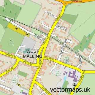
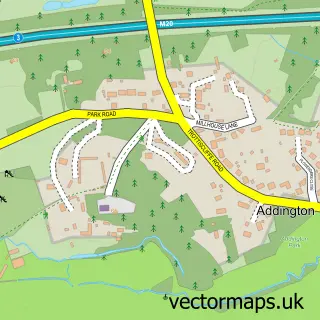
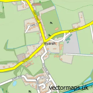
Nearby street map samples around Offham

More street maps in Kent
750 metre map area coverage
Boundary, postcode and point of interest information for the 750m x 750m rectangle centred on this sample map.
Boundaries containing map centre
Constituency: Tonbridge Co Const
County: Kent County
District: Tonbridge and Malling District (B)
Icb: NHS Kent and Medway ICB
Parish: Offham CP
Police Force: kent
Postcode District: ME19
Postcode Sector: ME19 5
Ward: East Malling, West Malling & Offham Ward
Nearby boundaries intersecting sample
No additional intersecting boundaries found.
Postcode coverage
POI category counts
Event Planning: 2
Advertising Agency: 1
Architect: 1
Architectural Designer: 1
Bed And Breakfast: 1
Corporate Entertainment Services: 1
Cricket Ground: 1
Forestry Service: 1
Furniture Store: 1
Garbage Collection Service: 1
Sample points of interest
- CP Digital Marketing Ltd
- Hales Marshall Design Architects
- hales marshall design architects
- Little Quintain
- The Wrightevent
- Offham Cricket Club
- Kentfield Country Estate
- Offham Village Hall
- A1 Tree Care
- Sofas 4 Cozy Home
- Robin Liquid Waste Disposal
- Andrea Lamport Pro Skincare
Create a larger editable map of Offham
This sample shows only a 750 metre area. To create a larger map of Offham, use our map builder to choose your own coverage area, add titles and download editable SVG, PDF and PNG files.
Create a custom map of Offham