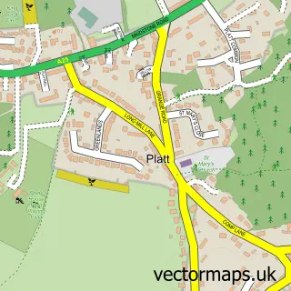
This Trottiscliffe street map is a detailed vector street map covering a 750m x 750m area. Select a larger area to create and download your own vector street map of Trottiscliffe.
The 750-metre map sample for Trottiscliffe covers 134 mapped buildings and approximately 8.1 km of road detail, of which 9 named roads are named. The immediate area includes 1 school and 4 pubs. The wider area around Trottiscliffe features 4 food and drink venues and 2 campsites within 2 miles. To create a larger or custom map of Trottiscliffe, the map builder lets you define your own coverage area and download editable SVG, PDF and PNG files.
Create a larger editable map of Trottiscliffe
Choose any area you need and generate a high-quality vector map instantly. Perfect for print, planning, design, business and personal use.

This Trottiscliffe street map in Kent is available as downloadable SVG, PDF and PNG map files, or as a printed map for planning, business, display, education, local information and design work. You can also create a larger custom map area using the map selector.
What this Trottiscliffe map sample shows
Trottiscliffe lies within Trottiscliffe Cp parish, part of Downs And Mereworth ward in the Tonbridge And Malling District (B) local authority area. The postcode geography for this area includes the ME postcode area, the ME19 postcode district and the ME19 5 postcode sector. Residents fall under the Nhs Kent And Medway Integrated Care Board for NHS services.
Local features near Trottiscliffe
Within 2 milesAmenities and services in and around Trottiscliffe.
Administrative and postcode information for Trottiscliffe
The local authority covering Trottiscliffe is Tonbridge And Malling District (B), within the county of Kent. The settlement lies within Downs And Mereworth ward and Trottiscliffe Cp civil parish. The ME19 postcode district and ME19 5 postcode sector serve the immediate area. NHS provision in the area is delivered through Maidstone And Tunbridge Wells Nhs Trust.
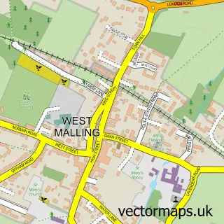
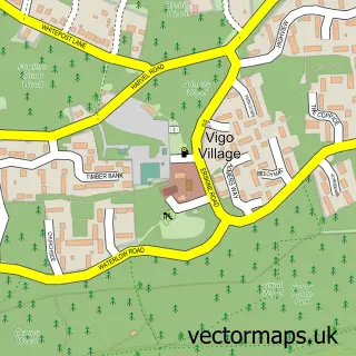
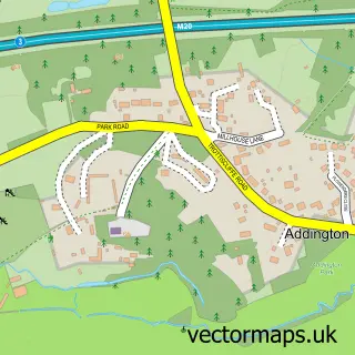
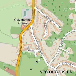
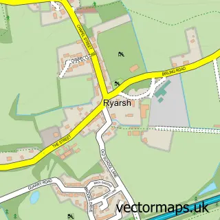
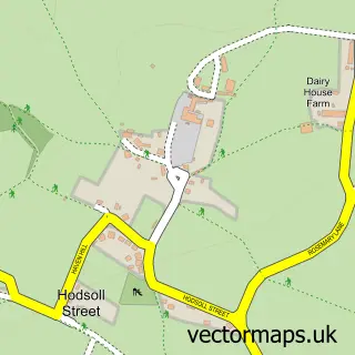
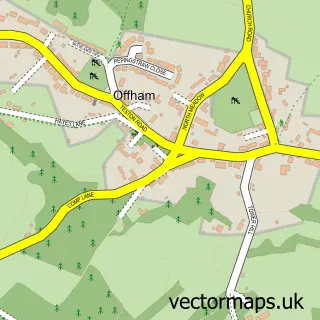
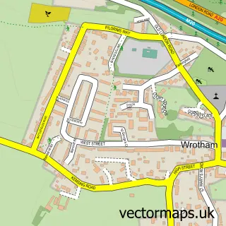
Nearby street map samples around Trottiscliffe

More street maps in Kent
750 metre map area coverage
Boundary, postcode and point of interest information for the 750m x 750m rectangle centred on this sample map.
Boundaries containing map centre
Constituency: Tonbridge Co Const
County: Kent County
District: Tonbridge and Malling District (B)
Icb: NHS Kent and Medway ICB
Parish: Trottiscliffe CP
Police Force: kent
Postcode District: ME19
Postcode Sector: ME19 5
Ward: Pilgrims with Ightham Ward
Nearby boundaries intersecting sample
No additional intersecting boundaries found.
Postcode coverage
POI category counts
Pub: 4
Physical Therapy: 2
Arts And Crafts: 1
Bar: 1
Building Supply Store: 1
Charity Organization: 1
Child Care And Day Care: 1
Community Center: 1
Elementary School: 1
Environmental Renewable Natural Resource: 1
Sample points of interest
- Trottiscliffe Willow
- The Plough Trottiscliffe
- New Wave Electrical
- Trottiscliffe Community Farm
- Little Gems Montessori Nursery School
- Trottiscliffe Village Hall
- Trottiscliffe C Of E Primary School
- Ecolution Group
- Richard Mott
- P W Physiotherapy
- P.W. Physiotherapy
- Little Gems Montessori Nursery School
Create a larger editable map of Trottiscliffe
This sample shows only a 750 metre area. To create a larger map of Trottiscliffe, use our map builder to choose your own coverage area, add titles and download editable SVG, PDF and PNG files.
Create a custom map of Trottiscliffe