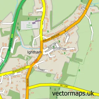
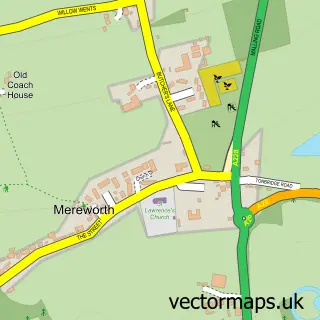
This Plaxtol street map is a detailed vector street map covering a 750m x 750m area. Select a larger area to create and download your own vector street map of Plaxtol.
The 750-metre map sample for Plaxtol covers 132 mapped buildings and approximately 7.2 km of road detail, of which 8 named roads are named. The immediate area includes 1 school and 1 pub. The wider area around Plaxtol features 1 food and drink venue. To create a larger or custom map of Plaxtol, the map builder lets you define your own coverage area and download editable SVG, PDF and PNG files.
Create a larger editable map of Plaxtol
Choose any area you need and generate a high-quality vector map instantly. Perfect for print, planning, design, business and personal use.

This Plaxtol street map in Kent is available as downloadable SVG, PDF and PNG map files, or as a printed map for planning, business, display, education, local information and design work. You can also create a larger custom map area using the map selector.
What this Plaxtol map sample shows
Plaxtol lies within Plaxtol Cp parish, part of Borough Green And Long Mill ward in the Tonbridge And Malling District (B) local authority area. The postcode geography for this area includes the TN postcode area, the TN15 postcode district and the TN15 0 postcode sector. Residents fall under the Nhs Kent And Medway Integrated Care Board for NHS services.
Local features near Plaxtol
Within 2 milesAmenities and services in and around Plaxtol.
Administrative and postcode information for Plaxtol
The local authority covering Plaxtol is Tonbridge And Malling District (B), within the county of Kent. The settlement lies within Borough Green And Long Mill ward and Plaxtol Cp civil parish. The TN15 postcode district and TN15 0 postcode sector serve the immediate area. NHS provision in the area is delivered through Maidstone And Tunbridge Wells Nhs Trust.
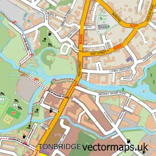
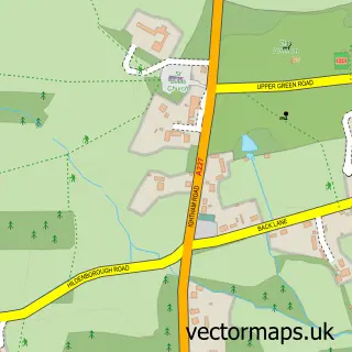
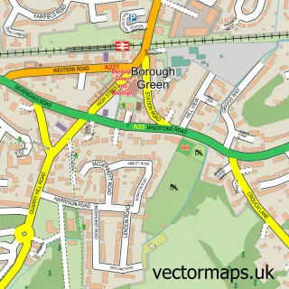
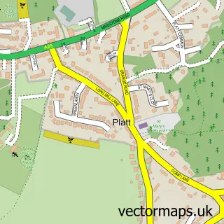
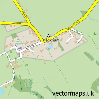
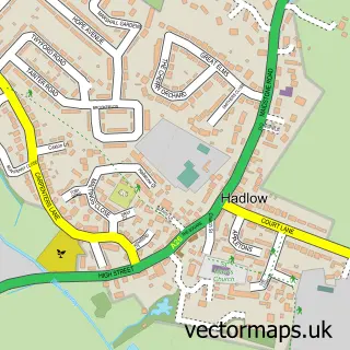
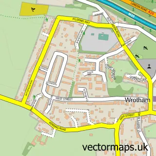
Nearby street map samples around Plaxtol

More street maps in Kent
750 metre map area coverage
Boundary, postcode and point of interest information for the 750m x 750m rectangle centred on this sample map.
Boundaries containing map centre
Constituency: Tonbridge Co Const
County: Kent County
District: Tonbridge and Malling District (B)
Icb: NHS Kent and Medway ICB
Parish: Plaxtol CP
Police Force: kent
Postcode District: TN15
Postcode Sector: TN15 0
Ward: Bourne Ward
Nearby boundaries intersecting sample
Parish: Shipbourne CP
Postcode District: TN11
Postcode Sector: TN11 9
Postcode coverage
POI category counts
Acupuncture: 1
Church Cathedral: 1
Community Services Non Profits: 1
Corporate Entertainment Services: 1
Currency Exchange: 1
Energy Company: 1
Event Planning: 1
Fitness Trainer: 1
Playground: 1
Post Office: 1
Sample points of interest
- Back Pain Acupuncture
- Plaxtol Parish Church
- Sevenoaks Mums
- L Dawson
- Post Office Travel Money
- Connected Kerb Charging Stations
- Plaxtol Memorial Hall
- Sian Rickard Personal Training
- Plaxtol playground
- Plaxtol Post Office
- Plaxtol Nursery School
- Papermakers Arms
Create a larger editable map of Plaxtol
This sample shows only a 750 metre area. To create a larger map of Plaxtol, use our map builder to choose your own coverage area, add titles and download editable SVG, PDF and PNG files.
Create a custom map of Plaxtol