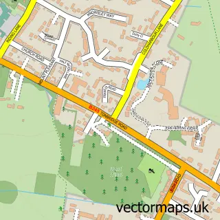
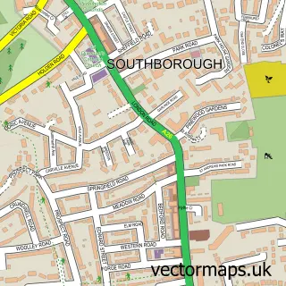
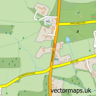
This Tonbridge street map is a detailed vector street map covering a 750m x 750m area. Select a larger area to create and download your own vector street map of Tonbridge.
The 750-metre map sample for Tonbridge covers 236 mapped buildings and approximately 16.1 km of road detail, of which 42 named roads are named. The immediate area includes 1 school, 2 GP surgeries, with 3 within 2 miles, 7 pubs and 1 MOT station, with 11 within 2 miles. The wider area around Tonbridge features 11 tourism points of interest, 26 food and drink venues and 3 hotels. To create a larger or custom map of Tonbridge, the map builder lets you define your own coverage area and download editable SVG, PDF and PNG files.
Create a larger editable map of Tonbridge
Choose any area you need and generate a high-quality vector map instantly. Perfect for print, planning, design, business and personal use.

This Tonbridge street map in Kent is available as downloadable SVG, PDF and PNG map files, or as a printed map for planning, business, display, education, local information and design work. You can also create a larger custom map area using the map selector.
What this Tonbridge map sample shows
Tonbridge lies within Kent County parish, part of Castle ward in the Tonbridge And Malling District (B) local authority area. The postcode geography for this area includes the TN postcode area, the TN9 postcode district and the TN9 1 postcode sector. Residents fall under the Nhs Kent And Medway Integrated Care Board for NHS services.
Local features near Tonbridge
Within 2 milesAmenities and services in and around Tonbridge.
Administrative and postcode information for Tonbridge
Tonbridge lies within Kent County parish, part of Castle ward in the Tonbridge And Malling District (B) local authority area. The postcode geography for this area includes the TN postcode area, the TN9 postcode district and the TN9 1 postcode sector. Residents fall under the Nhs Kent And Medway Integrated Care Board for NHS services.
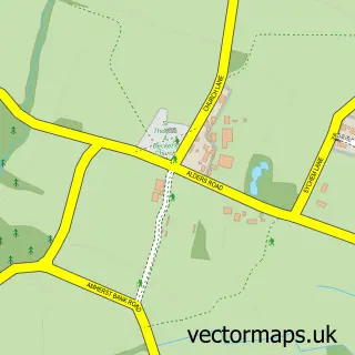
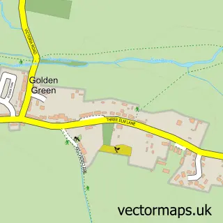
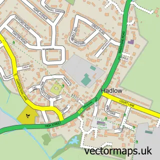
Nearby street map samples around Tonbridge

More street maps in Kent
750 metre map area coverage
Boundary, postcode and point of interest information for the 750m x 750m rectangle centred on this sample map.
Boundaries containing map centre
Constituency: Tonbridge Co Const
County: Kent County
District: Tonbridge and Malling District (B)
Icb: NHS Kent and Medway ICB
Police Force: kent
Postcode District: TN9
Postcode Sector: TN9 1
Ward: Cage Green & Angel Ward
Nearby boundaries intersecting sample
Postcode Sector: TN9 2
Ward: Judd Ward
Postcode coverage
POI category counts
Real Estate Agent: 21
Hair Salon: 20
Beauty Salon: 13
Barber: 10
Cafe: 10
Clothing Store: 10
Fast Food Restaurant: 10
Accountant: 9
Charity Organization: 9
Dentist: 9
Sample points of interest
- ABMV Chartered Accountants
- Apex Partners LLP
- Baxter & Co. Chartered Certified Accountants
- Blue Swift Accountants
- Ecbs Accountants
- Gilbert Allen & Co. - Accountant In Tonbridge
- MDJ Accountancy
- Perrys
- TaxAssist Accountants
- Tonbridge
- Pre School Learning Alliance
- Actuarial Post
Create a larger editable map of Tonbridge
This sample shows only a 750 metre area. To create a larger map of Tonbridge, use our map builder to choose your own coverage area, add titles and download editable SVG, PDF and PNG files.
Create a custom map of Tonbridge