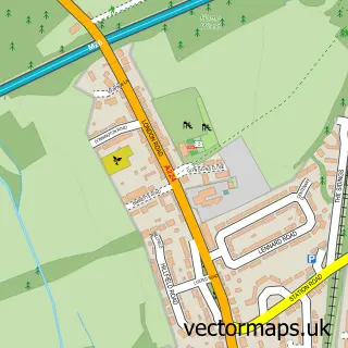
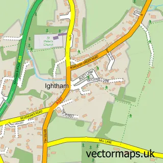
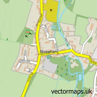
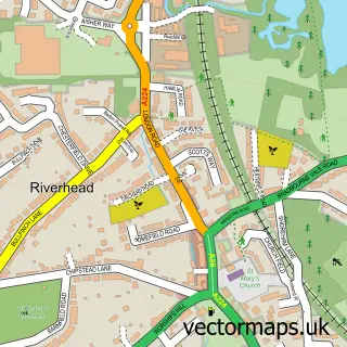
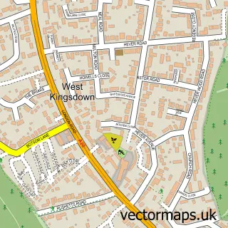
This Kemsing street map is a detailed vector street map covering a 750m x 750m area. Select a larger area to create and download your own vector street map of Kemsing.
The 750-metre map sample for Kemsing covers 269 mapped buildings and approximately 11.1 km of road detail, of which 17 named roads are named. The immediate area includes 1 school, 1 GP surgery within 2 miles, 1 pub and 1 MOT station, with 5 within 2 miles. The wider area around Kemsing features 2 tourism points of interest, 1 food and drink venue and 1 campsite within 2 miles. To create a larger or custom map of Kemsing, the map builder lets you define your own coverage area and download editable SVG, PDF and PNG files.
Create a larger editable map of Kemsing
Choose any area you need and generate a high-quality vector map instantly. Perfect for print, planning, design, business and personal use.

This Kemsing street map in Kent is available as downloadable SVG, PDF and PNG map files, or as a printed map for planning, business, display, education, local information and design work. You can also create a larger custom map area using the map selector.
What this Kemsing map sample shows
Kemsing lies within Kemsing Cp parish, part of Kemsing ward in the Sevenoaks District local authority area. The postcode geography for this area includes the TN postcode area, the TN15 postcode district and the TN15 6 postcode sector. Residents fall under the Nhs Kent And Medway Integrated Care Board for NHS services.
Local features near Kemsing
Within 2 milesAmenities and services in and around Kemsing.
Administrative and postcode information for Kemsing
The local authority covering Kemsing is Sevenoaks District, within the county of Kent. The settlement lies within Kemsing ward and Kemsing Cp civil parish. The TN15 postcode district and TN15 6 postcode sector serve the immediate area. NHS provision in the area is delivered through Maidstone And Tunbridge Wells Nhs Trust.
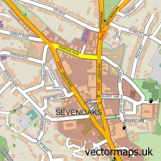
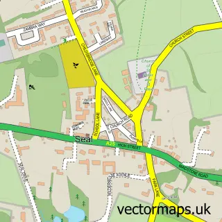
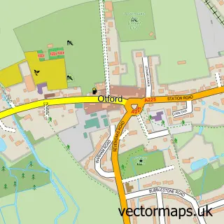
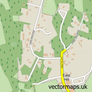
Nearby street map samples around Kemsing

More street maps in Kent
750 metre map area coverage
Boundary, postcode and point of interest information for the 750m x 750m rectangle centred on this sample map.
Boundaries containing map centre
Constituency: Sevenoaks Co Const
County: Kent County
District: Sevenoaks District
Icb: NHS Kent and Medway ICB
Parish: Kemsing CP
Police Force: kent
Postcode District: TN15
Postcode Sector: TN15 6
Ward: Kemsing Ward
Nearby boundaries intersecting sample
No additional intersecting boundaries found.
Postcode coverage
POI category counts
Anglican Church: 2
Building Supply Store: 2
Convenience Store: 2
Atms: 1
Automotive Repair: 1
Bed And Breakfast: 1
Car Dealer: 1
Castle: 1
Church Cathedral: 1
Cleaning Services: 1
Sample points of interest
- Kemsing Church
- St Mary's Church Kemsing
- PayPoint
- Kemsing Motor Company
- Park Lane Bed & Breakfast
- A&S Sevenoaks Cleaning Agency
- Atlantis Swimming Pools
- Unipart Car Care Centre
- Kemsing Castle Bank
- St Mary's Church
- A's Cleaning Maids
- St Ediths Well
Create a larger editable map of Kemsing
This sample shows only a 750 metre area. To create a larger map of Kemsing, use our map builder to choose your own coverage area, add titles and download editable SVG, PDF and PNG files.
Create a custom map of Kemsing