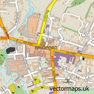
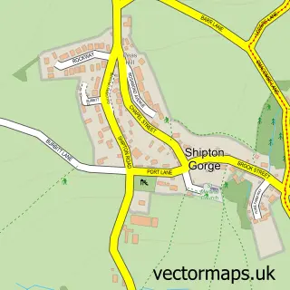
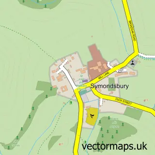
This Bothenhampton street map is a detailed vector street map covering a 750m x 750m area. Select a larger area to create and download your own vector street map of Bothenhampton.
The 750-metre map sample for Bothenhampton covers 438 mapped buildings and approximately 15.5 km of road detail, of which 27 named roads are named. The immediate area includes 1 GP surgery within 2 miles and 6 MOT stations within 2 miles. The wider area around Bothenhampton features 1 tourism point of interest, 1 food and drink venue and 5 campsites within 2 miles. To create a larger or custom map of Bothenhampton, the map builder lets you define your own coverage area and download editable SVG, PDF and PNG files.
Create a larger editable map of Bothenhampton
Choose any area you need and generate a high-quality vector map instantly. Perfect for print, planning, design, business and personal use.

This Bothenhampton street map in Dorset is available as downloadable SVG, PDF and PNG map files, or as a printed map for planning, business, display, education, local information and design work. You can also create a larger custom map area using the map selector.
What this Bothenhampton map sample shows
Bothenhampton lies within Bothenhampton Cp parish, part of Bridport ward in the Dorset local authority area. The postcode geography for this area includes the DT postcode area, the DT6 postcode district and the DT6 4 postcode sector. Residents fall under the Nhs Dorset Integrated Care Board for NHS services.
Local features near Bothenhampton
Within 2 milesAmenities and services in and around Bothenhampton.
Administrative and postcode information for Bothenhampton
Bothenhampton lies within Bothenhampton Cp parish, part of Bridport ward in the Dorset local authority area. The postcode geography for this area includes the DT postcode area, the DT6 postcode district and the DT6 4 postcode sector. Residents fall under the Nhs Dorset Integrated Care Board for NHS services.
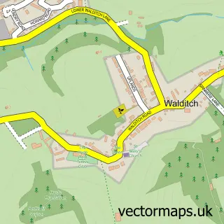
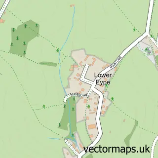
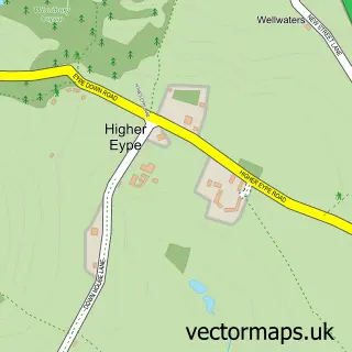
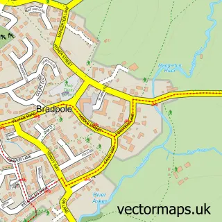
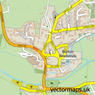
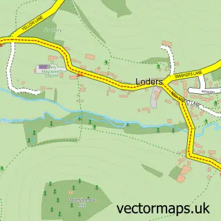
Nearby street map samples around Bothenhampton

More street maps in Dorset
750 metre map area coverage
Boundary, postcode and point of interest information for the 750m x 750m rectangle centred on this sample map.
Boundaries containing map centre
Constituency: West Dorset Co Const
District: Dorset
Icb: NHS Dorset ICB
Parish: Bridport CP
Police Force: dorset
Postcode District: DT6
Postcode Sector: DT6 4
Ward: Bridport Ward
Nearby boundaries intersecting sample
Postcode Sector: DT6 3
Postcode coverage
POI category counts
Building Supply Store: 2
Seafood Restaurant: 2
Anglican Church: 1
Building Contractor: 1
Electrician: 1
Farm: 1
Holiday Rental Home: 1
Interior Design: 1
Nail Salon: 1
National Park: 1
Sample points of interest
- Bothenhampton: Holy Trinity
- RJM Contracts & Son Ltd.
- Bradfords Building Supplies
- Simon Scott
- Simon Scott
- Bothen Hill
- LittleI&A
- Giles & Randall
- Kelli Tuck Nails and Beauty
- Langdon Hill, Chideock
- Poole & Dorset Adventure Centre
- Pete Gruitt & Son
Create a larger editable map of Bothenhampton
This sample shows only a 750 metre area. To create a larger map of Bothenhampton, use our map builder to choose your own coverage area, add titles and download editable SVG, PDF and PNG files.
Create a custom map of Bothenhampton