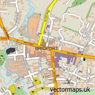
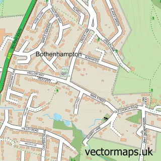
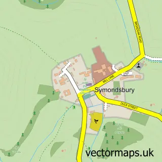
This Bradpole street map is a detailed vector street map covering a 750m x 750m area. Select a larger area to create and download your own vector street map of Bradpole.
The 750-metre map sample for Bradpole covers 303 mapped buildings and approximately 15.2 km of road detail, of which 27 named roads are named. The immediate area includes 1 GP surgery within 2 miles and 5 MOT stations within 2 miles. The wider area around Bradpole features 1 campsite within 2 miles. To create a larger or custom map of Bradpole, the map builder lets you define your own coverage area and download editable SVG, PDF and PNG files.
Create a larger editable map of Bradpole
Choose any area you need and generate a high-quality vector map instantly. Perfect for print, planning, design, business and personal use.

This Bradpole street map in Dorset is available as downloadable SVG, PDF and PNG map files, or as a printed map for planning, business, display, education, local information and design work. You can also create a larger custom map area using the map selector.
What this Bradpole map sample shows
Bradpole lies within Bradpole Cp parish, part of Bridport ward in the Dorset local authority area. The postcode geography for this area includes the DT postcode area, the DT6 postcode district and the DT6 3 postcode sector. Residents fall under the Nhs Dorset Integrated Care Board for NHS services.
Local features near Bradpole
Within 2 milesAmenities and services in and around Bradpole.
Administrative and postcode information for Bradpole
The local authority covering Bradpole is Dorset, within the county of Dorset. The settlement lies within Bridport ward and Bradpole Cp civil parish. The DT6 postcode district and DT6 3 postcode sector serve the immediate area. NHS provision in the area is delivered through Dorset County Hospital Nhs Foundation Trust.
Nearby street map samples around Bradpole

More street maps in Dorset
750 metre map area coverage
Boundary, postcode and point of interest information for the 750m x 750m rectangle centred on this sample map.
Boundaries containing map centre
Constituency: West Dorset Co Const
District: Dorset
Icb: NHS Dorset ICB
Parish: Bridport CP
Police Force: dorset
Postcode District: DT6
Postcode Sector: DT6 3
Ward: Bridport Ward
Nearby boundaries intersecting sample
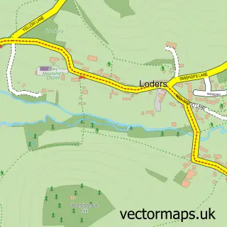
Parish: Loders CP
Postcode Sector: DT6 4
Ward: Eggardon Ward
Postcode coverage
POI category counts
Building Contractor: 2
Butcher Shop: 2
Accountant: 1
Anglican Church: 1
Assisted Living Facility: 1
Building Supply Store: 1
Community Center: 1
Contractor: 1
Electrician: 1
Gift Shop: 1
Sample points of interest
- Hartleys Accountancy Ltd.
- Holy Trinity Bradpole
- St James Park
- R M S Builders
- Rms Builders
- Wayne Parkman Quality Decorating
- Norman's Butchers Shop
- S J Norman & Sons
- Bradpole Forster Memorial Hall
- Holmes Building & Repairs in Bridport
- R N Stephenson Electrical Contractors
- Incense Online
Create a larger editable map of Bradpole
This sample shows only a 750 metre area. To create a larger map of Bradpole, use our map builder to choose your own coverage area, add titles and download editable SVG, PDF and PNG files.
Create a custom map of Bradpole