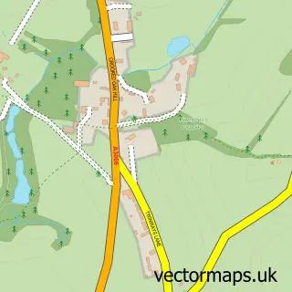
This Salway Ash street map is a detailed vector street map covering a 750m x 750m area. Select a larger area to create and download your own vector street map of Salway Ash.
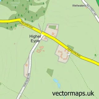
The 750-metre map sample for Salway Ash covers 118 mapped buildings and approximately 6.6 km of road detail, of which 5 named roads are named. The immediate area includes 1 pub and 2 MOT stations within 2 miles. The wider area around Salway Ash features 1 tourism point of interest, 1 food and drink venue and 1 hotel. To create a larger or custom map of Salway Ash, the map builder lets you define your own coverage area and download editable SVG, PDF and PNG files.
Create a larger editable map of Salway Ash
Choose any area you need and generate a high-quality vector map instantly. Perfect for print, planning, design, business and personal use.

This Salway Ash street map in Dorset is available as downloadable SVG, PDF and PNG map files, or as a printed map for planning, business, display, education, local information and design work. You can also create a larger custom map area using the map selector.
What this Salway Ash map sample shows
Salway Ash lies within Netherbury Cp parish, part of Eggardon ward in the Dorset local authority area. The postcode geography for this area includes the DT postcode area, the DT6 postcode district and the DT6 5 postcode sector. Residents fall under the Nhs Dorset Integrated Care Board for NHS services.
Local features near Salway Ash
Within 2 milesAmenities and services in and around Salway Ash.
Administrative and postcode information for Salway Ash
The local authority covering Salway Ash is Dorset, within the county of Dorset. The settlement lies within Eggardon ward and Netherbury Cp civil parish. The DT6 postcode district and DT6 5 postcode sector serve the immediate area. NHS provision in the area is delivered through Dorset County Hospital Nhs Foundation Trust.
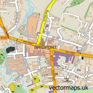
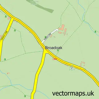
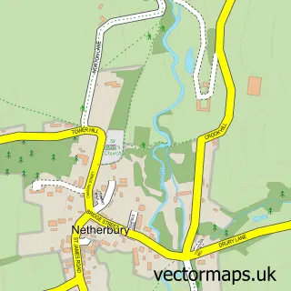
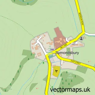
Nearby street map samples around Salway Ash

More street maps in Dorset
750 metre map area coverage
Boundary, postcode and point of interest information for the 750m x 750m rectangle centred on this sample map.
Boundaries containing map centre
Constituency: West Dorset Co Const
District: Dorset
Icb: NHS Dorset ICB
Parish: Netherbury CP
Police Force: dorset
Postcode District: DT6
Postcode Sector: DT6 5
Ward: Eggardon Ward
Nearby boundaries intersecting sample
No additional intersecting boundaries found.
Postcode coverage
POI category counts
Kids Recreation And Party: 2
Arts And Entertainment: 1
Automotive Repair: 1
Building Supply Store: 1
Campground: 1
Driving School: 1
Forestry Service: 1
Hair Salon: 1
Hotel: 1
Landscaping: 1
Sample points of interest
- Salway Ash Village Hall
- Bennett Mechanical Services
- Townandcountrytreecare
- Bide Yer Caravan Site
- Aim Driver Training
- Town & Country Tree Care
- Natural Skincare Solution
- Strongate View Apartment self catering accommodation
- The Sports Netting Co.
- The Sports Netting Company
- S Lee Gardening Services
- Tax Help for Older People
Create a larger editable map of Salway Ash
This sample shows only a 750 metre area. To create a larger map of Salway Ash, use our map builder to choose your own coverage area, add titles and download editable SVG, PDF and PNG files.
Create a custom map of Salway Ash