This Boughton street map is a detailed vector street map covering a 750m x 750m area. Select a larger area to create and download your own vector street map of Boughton.
The 750-metre map sample for Boughton covers 143 mapped buildings and approximately 13.2 km of road detail, of which 8 named roads are named. The immediate area includes 1 GP surgery and 3 MOT stations within 2 miles. The wider area around Boughton features 1 hotel. To create a larger or custom map of Boughton, the map builder lets you define your own coverage area and download editable SVG, PDF and PNG files.
Create a larger editable map of Boughton
Choose any area you need and generate a high-quality vector map instantly. Perfect for print, planning, design, business and personal use.

This Boughton street map in Norfolk is available as downloadable SVG, PDF and PNG map files, or as a printed map for planning, business, display, education, local information and design work. You can also create a larger custom map area using the map selector.
What this Boughton map sample shows
Boughton lies within Boughton Cp parish, part of Wissey ward in the King's Lynn And West Norfolk District (B) local authority area. The postcode geography for this area includes the PE postcode area, the PE33 postcode district and the PE33 9 postcode sector. Residents fall under the Nhs Norfolk And Waveney Integrated Care Board for NHS services.
Local features near Boughton
Within 2 milesAmenities and services in and around Boughton.
Administrative and postcode information for Boughton
The local authority covering Boughton is King's Lynn And West Norfolk District (B), within the county of Norfolk. The settlement lies within Wissey ward and Boughton Cp civil parish. The PE33 postcode district and PE33 9 postcode sector serve the immediate area. NHS provision in the area is delivered through The Queen Elizabeth Hospital, King's Lynn, Nhs Foundation Trust.
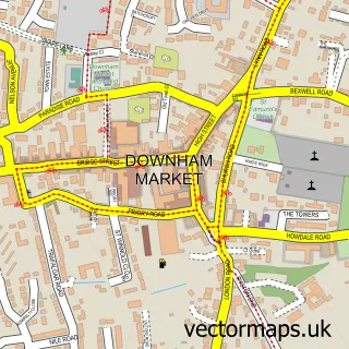
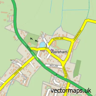
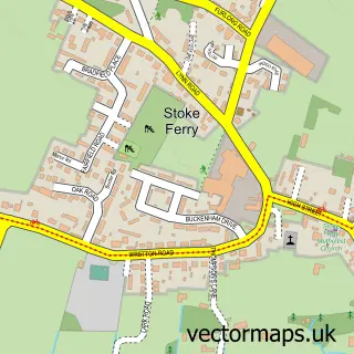
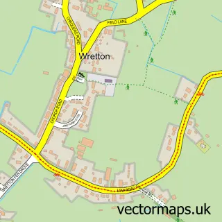
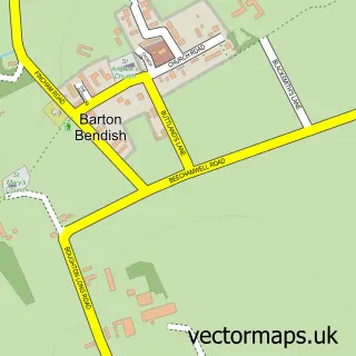
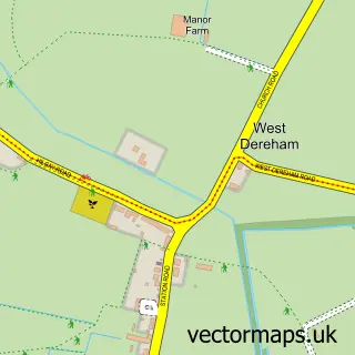
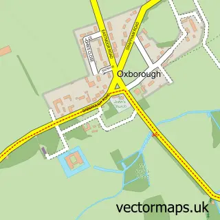
Nearby street map samples around Boughton


More street maps in Norfolk
750 metre map area coverage
Boundary, postcode and point of interest information for the 750m x 750m rectangle centred on this sample map.
Boundaries containing map centre
Constituency: South West Norfolk Co Const
County: Norfolk County
District: King's Lynn and West Norfolk District (B)
Icb: NHS Norfolk and Waveney ICB
Parish: Boughton CP
Police Force: norfolk
Postcode District: PE33
Postcode Sector: PE33 9
Ward: Wissey Ward
Nearby boundaries intersecting sample
No additional intersecting boundaries found.
Postcode coverage
POI category counts
Cottage: 2
Anglican Church: 1
Beauty Salon: 1
Family Practice: 1
Home Improvement Store: 1
Hotel: 1
Monument: 1
Wholesale Store: 1
Sample points of interest
- All Saints
- Bliss Hair and Beauty at Candleford House
- Bells Meadow Shepherds Hut
- Hall Farmhouse the Green
- Boughton Doctors Surgery
- The Order of Initiative
- Grassmere Norfolk Holidays
- Boughton War Memorial
- Aston and Fincher
Create a larger editable map of Boughton
This sample shows only a 750 metre area. To create a larger map of Boughton, use our map builder to choose your own coverage area, add titles and download editable SVG, PDF and PNG files.
Create a custom map of Boughton