This Fincham street map is a detailed vector street map covering a 750m x 750m area. Select a larger area to create and download your own vector street map of Fincham.
The 750-metre map sample for Fincham covers 215 mapped buildings and approximately 11.1 km of road detail, of which 11 named roads are named. The immediate area includes 1 pub and 1 MOT station. The wider area around Fincham features 1 food and drink venue. To create a larger or custom map of Fincham, the map builder lets you define your own coverage area and download editable SVG, PDF and PNG files.
Create a larger editable map of Fincham
Choose any area you need and generate a high-quality vector map instantly. Perfect for print, planning, design, business and personal use.

This Fincham street map in Norfolk is available as downloadable SVG, PDF and PNG map files, or as a printed map for planning, business, display, education, local information and design work. You can also create a larger custom map area using the map selector.
What this Fincham map sample shows
Fincham lies within Fincham Cp parish, part of Airfield ward in the King's Lynn And West Norfolk District (B) local authority area. The postcode geography for this area includes the PE postcode area, the PE33 postcode district and the PE33 9 postcode sector. Residents fall under the Nhs Norfolk And Waveney Integrated Care Board for NHS services.
Local features near Fincham
Within 2 milesAmenities and services in and around Fincham.
Administrative and postcode information for Fincham
Fincham lies within Fincham Cp parish, part of Airfield ward in the King's Lynn And West Norfolk District (B) local authority area. The postcode geography for this area includes the PE postcode area, the PE33 postcode district and the PE33 9 postcode sector. Residents fall under the Nhs Norfolk And Waveney Integrated Care Board for NHS services.
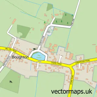
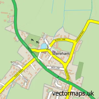
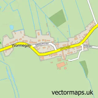
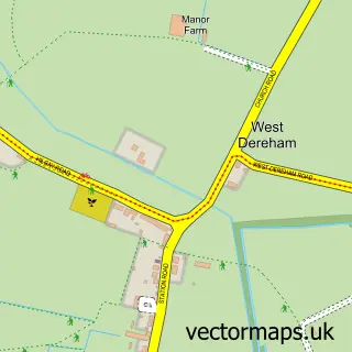
Nearby street map samples around Fincham


More street maps in Norfolk
750 metre map area coverage
Boundary, postcode and point of interest information for the 750m x 750m rectangle centred on this sample map.
Boundaries containing map centre
Constituency: South West Norfolk Co Const
County: Norfolk County
District: King's Lynn and West Norfolk District (B)
Icb: NHS Norfolk and Waveney ICB
Parish: Fincham CP
Police Force: norfolk
Postcode District: PE33
Postcode Sector: PE33 9
Ward: Airfield Ward
Nearby boundaries intersecting sample
No additional intersecting boundaries found.
Postcode coverage
POI category counts
Active Life: 1
Advertising Agency: 1
Anglican Church: 1
Arts And Crafts: 1
Automotive: 1
Automotive Repair: 1
Beauty Salon: 1
Church Cathedral: 1
Community Center: 1
Graphic Designer: 1
Sample points of interest
- KB Cricket
- Crossnet Creative
- St Martin (Fincham)
- Norfolk Crafts
- Fairweather Restorations
- Loui Motors
- The Wish Salon
- St Martin's Church
- Fincham Memorial Hall
- Crossnet Creative
- The Wish
- Jay Craft Food Machinery UK Ltd
Create a larger editable map of Fincham
This sample shows only a 750 metre area. To create a larger map of Fincham, use our map builder to choose your own coverage area, add titles and download editable SVG, PDF and PNG files.
Create a custom map of Fincham