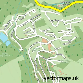
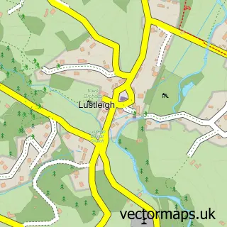
This Bovey Tracey street map is a detailed vector street map covering a 750m x 750m area. Select a larger area to create and download your own vector street map of Bovey Tracey.
The 750-metre map sample for Bovey Tracey covers 351 mapped buildings and approximately 14.7 km of road detail, of which 37 named roads are named. The immediate area includes 1 school, 1 GP surgery, 4 pubs and 2 MOT stations, with 7 within 2 miles. The wider area around Bovey Tracey features 2 tourism points of interest, 15 food and drink venues and 6 hotels. To create a larger or custom map of Bovey Tracey, the map builder lets you define your own coverage area and download editable SVG, PDF and PNG files.
Create a larger editable map of Bovey Tracey
Choose any area you need and generate a high-quality vector map instantly. Perfect for print, planning, design, business and personal use.

This Bovey Tracey street map in Devon is available as downloadable SVG, PDF and PNG map files, or as a printed map for planning, business, display, education, local information and design work. You can also create a larger custom map area using the map selector.
What this Bovey Tracey map sample shows
Bovey Tracey lies within Bovey Tracey Cp parish, part of Bovey ward in the Teignbridge District local authority area. The postcode geography for this area includes the TQ postcode area, the TQ13 postcode district and the TQ13 9 postcode sector. Residents fall under the Nhs Devon Integrated Care Board for NHS services.
Local features near Bovey Tracey
Within 2 milesAmenities and services in and around Bovey Tracey.
Administrative and postcode information for Bovey Tracey
The local authority covering Bovey Tracey is Teignbridge District, within the county of Devon. The settlement lies within Bovey ward and Bovey Tracey Cp civil parish. The TQ13 postcode district and TQ13 9 postcode sector serve the immediate area. NHS provision in the area is delivered through Torbay And South Devon Nhs Foundation Trust.
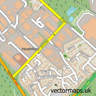
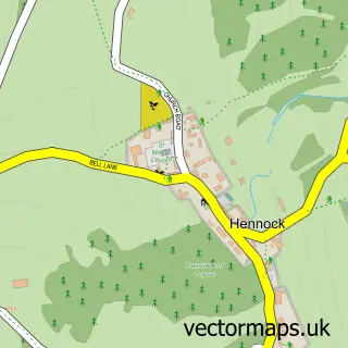
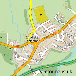
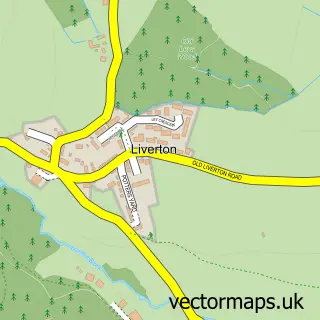
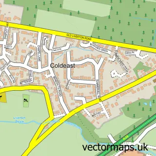
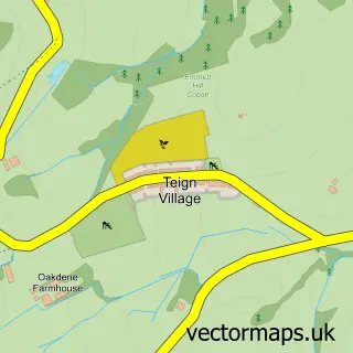
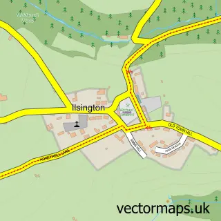
Nearby street map samples around Bovey Tracey

More street maps in Devon
750 metre map area coverage
Boundary, postcode and point of interest information for the 750m x 750m rectangle centred on this sample map.
Boundaries containing map centre
Constituency: Central Devon Co Const
County: Devon County
District: Teignbridge District
Icb: NHS Devon ICB
Parish: Bovey Tracey CP
Police Force: devon and cornwall
Postcode District: TQ13
Postcode Sector: TQ13 9
Ward: Bovey Ward
Nearby boundaries intersecting sample
No additional intersecting boundaries found.
Postcode coverage
POI category counts
Arts And Crafts: 7
Flowers And Gifts Shop: 7
Real Estate Agent: 7
Convenience Store: 6
Hotel: 6
Accountant: 4
Building Supply Store: 4
Cafe: 4
Coffee Shop: 4
Pub: 4
Sample points of interest
- A Sullivan Accountants
- Bibbys
- One Plus One Accountants
- One Plus One Accountants
- Kate Guest Coaching & Hypnotherapy
- Sharon Mcdaid
- Beyonceantiques
- Bovey Paradiso
- Craft Festival
- The Bracken Gallery
- Bovey Handloom Weavers
- Make Southwest
Create a larger editable map of Bovey Tracey
This sample shows only a 750 metre area. To create a larger map of Bovey Tracey, use our map builder to choose your own coverage area, add titles and download editable SVG, PDF and PNG files.
Create a custom map of Bovey Tracey