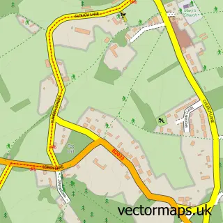
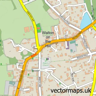
This Box Hill Village street map is a detailed vector street map covering a 750m x 750m area. Select a larger area to create and download your own vector street map of Box Hill Village.
The 750-metre map sample for Box Hill Village covers 377 mapped buildings and approximately 8.6 km of road detail, of which 7 named roads are named. The wider area around Box Hill Village features 2 tourism points of interest. To create a larger or custom map of Box Hill Village, the map builder lets you define your own coverage area and download editable SVG, PDF and PNG files.
Create a larger editable map of Box Hill Village
Choose any area you need and generate a high-quality vector map instantly. Perfect for print, planning, design, business and personal use.

This Box Hill Village street map in Surrey is available as downloadable SVG, PDF and PNG map files, or as a printed map for planning, business, display, education, local information and design work. You can also create a larger custom map area using the map selector.
What this Box Hill Village map sample shows
Box Hill Village lies within Brockham Cp parish, part of Brockham, Betchworth And Buckland ward in the Mole Valley District local authority area. The postcode geography for this area includes the RH postcode area, the RH3 postcode district and the RH3 7 postcode sector. Residents fall under the Nhs Surrey Heartlands Integrated Care Board for NHS services.
Local features near Box Hill Village
Within 2 milesAmenities and services in and around Box Hill Village.
Administrative and postcode information for Box Hill Village
Box Hill Village lies within Brockham Cp parish, part of Brockham, Betchworth And Buckland ward in the Mole Valley District local authority area. The postcode geography for this area includes the RH postcode area, the RH3 postcode district and the RH3 7 postcode sector. Residents fall under the Nhs Surrey Heartlands Integrated Care Board for NHS services.
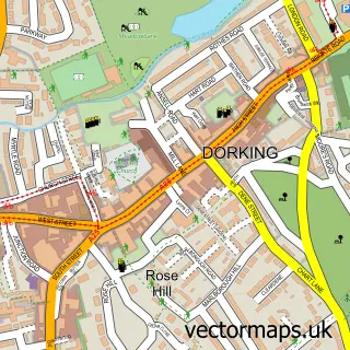
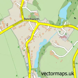
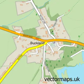
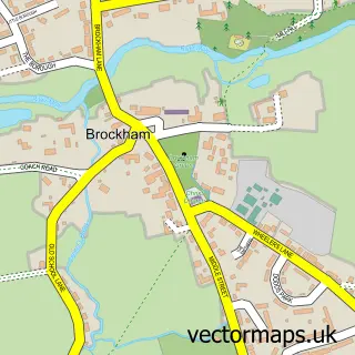
Nearby street map samples around Box Hill Village

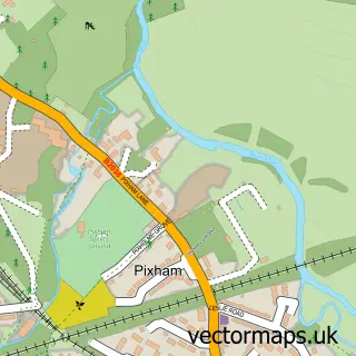
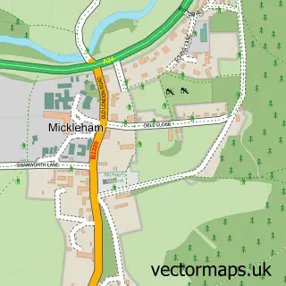
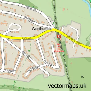
More street maps in Surrey
750 metre map area coverage
Boundary, postcode and point of interest information for the 750m x 750m rectangle centred on this sample map.
Boundaries containing map centre
Constituency: Dorking and Horley Co Const
County: Surrey County
District: Mole Valley District
Icb: NHS Surrey and Sussex ICB
Police Force: surrey
Postcode District: KT20
Postcode Sector: KT20 7
Ward: Brockham, Betchworth, Buckland, Box Hill & Headley Ward
Nearby boundaries intersecting sample
Parish: Betchworth CP, Brockham CP
Postcode District: RH3
Postcode Sector: RH3 7
Postcode coverage
POI category counts
Driving School: 4
Convenience Store: 3
Retail: 3
Automotive Repair: 2
Bar: 2
Hvac Services: 2
Lighting Store: 2
Yoga Studio: 2
Alternative Medicine: 1
American Restaurant: 1
Sample points of interest
- Surrey Hypnosis Clinic
- Smith and Western Boxhill
- Barn Motors
- Hometune Motoring Services
- Hand in Hand
- The Tree on Box Hill
- Destination Bike
- Haulfryn Park Homes
- Barn Motors
- Boxhill Road Post Office
- Hilltop Stores
- Post Office-Boxhill Road
Create a larger editable map of Box Hill Village
This sample shows only a 750 metre area. To create a larger map of Box Hill Village, use our map builder to choose your own coverage area, add titles and download editable SVG, PDF and PNG files.
Create a custom map of Box Hill Village