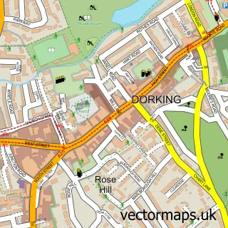
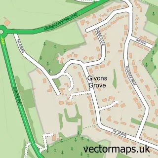
This Pixham street map is a detailed vector street map covering a 750m x 750m area. Select a larger area to create and download your own vector street map of Pixham.
The 750-metre map sample for Pixham covers 130 mapped buildings and approximately 6.1 km of road detail, of which 9 named roads are named. The immediate area includes 2 GP surgeries within 2 miles, 1 pub and 4 MOT stations within 2 miles. The wider area around Pixham features 1 food and drink venue. To create a larger or custom map of Pixham, the map builder lets you define your own coverage area and download editable SVG, PDF and PNG files.
Create a larger editable map of Pixham
Choose any area you need and generate a high-quality vector map instantly. Perfect for print, planning, design, business and personal use.

This Pixham street map in Surrey is available as downloadable SVG, PDF and PNG map files, or as a printed map for planning, business, display, education, local information and design work. You can also create a larger custom map area using the map selector.
What this Pixham map sample shows
Pixham lies within Surrey County parish, part of Dorking North ward in the Mole Valley District local authority area. The postcode geography for this area includes the RH postcode area, the RH4 postcode district and the RH4 1 postcode sector. Residents fall under the Nhs Surrey Heartlands Integrated Care Board for NHS services.
Local features near Pixham
Within 2 milesAmenities and services in and around Pixham.
Administrative and postcode information for Pixham
Pixham lies within Surrey County parish, part of Dorking North ward in the Mole Valley District local authority area. The postcode geography for this area includes the RH postcode area, the RH4 postcode district and the RH4 1 postcode sector. Residents fall under the Nhs Surrey Heartlands Integrated Care Board for NHS services.
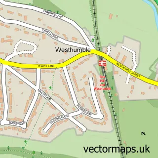
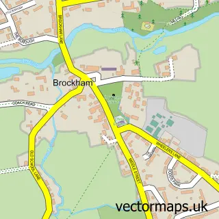
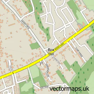
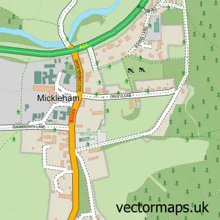
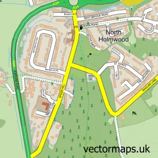
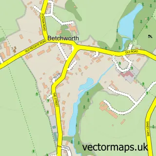
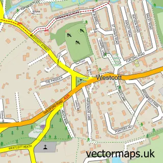
Nearby street map samples around Pixham

More street maps in Surrey
750 metre map area coverage
Boundary, postcode and point of interest information for the 750m x 750m rectangle centred on this sample map.
Boundaries containing map centre
Constituency: Dorking and Horley Co Const
County: Surrey County
District: Mole Valley District
Icb: NHS Surrey and Sussex ICB
Police Force: surrey
Postcode District: RH4
Postcode Sector: RH4 1
Ward: Dorking North Ward
Nearby boundaries intersecting sample
Parish: Brockham CP
Ward: Brockham, Betchworth, Buckland, Box Hill & Headley Ward
Postcode coverage
POI category counts
Sports Club And League: 3
Anglican Church: 2
Financial Service: 2
Taxi Service: 2
Auto Body Shop: 1
Building Supply Store: 1
Carpenter: 1
Community Center: 1
Divorce And Family Law: 1
Dog Trainer: 1
Sample points of interest
- Pixham: St Mary the Virgin
- St Mary's Church
- Finesse Accident Repair Centre
- New Leaf Design
- Dorking Carpentry
- Old Pixham School
- LKW Family Mediation
- Positive Dog Training Academy
- Land Skills Training
- Hannah Marsden Dyslexia
- Dorking Old Bags
- Friends Life Staff Schemes Limited
Create a larger editable map of Pixham
This sample shows only a 750 metre area. To create a larger map of Pixham, use our map builder to choose your own coverage area, add titles and download editable SVG, PDF and PNG files.
Create a custom map of Pixham