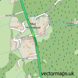
This Brockham street map is a detailed vector street map covering a 750m x 750m area. Select a larger area to create and download your own vector street map of Brockham.
The 750-metre map sample for Brockham covers 210 mapped buildings and approximately 10.9 km of road detail, of which 14 named roads are named. The immediate area includes 1 school, 2 GP surgeries within 2 miles and 4 pubs. The wider area around Brockham features 1 tourism point of interest and 7 food and drink venues. To create a larger or custom map of Brockham, the map builder lets you define your own coverage area and download editable SVG, PDF and PNG files.
Create a larger editable map of Brockham
Choose any area you need and generate a high-quality vector map instantly. Perfect for print, planning, design, business and personal use.

This Brockham street map in Surrey is available as downloadable SVG, PDF and PNG map files, or as a printed map for planning, business, display, education, local information and design work. You can also create a larger custom map area using the map selector.
What this Brockham map sample shows
Brockham lies within Brockham Cp parish, part of Brockham, Betchworth And Buckland ward in the Mole Valley District local authority area. The postcode geography for this area includes the RH postcode area, the RH3 postcode district and the RH3 7 postcode sector. Residents fall under the Nhs Surrey Heartlands Integrated Care Board for NHS services.
Local features near Brockham
Within 2 milesAmenities and services in and around Brockham.
Administrative and postcode information for Brockham
Brockham lies within Brockham Cp parish, part of Brockham, Betchworth And Buckland ward in the Mole Valley District local authority area. The postcode geography for this area includes the RH postcode area, the RH3 postcode district and the RH3 7 postcode sector. Residents fall under the Nhs Surrey Heartlands Integrated Care Board for NHS services.
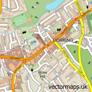
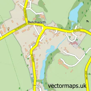
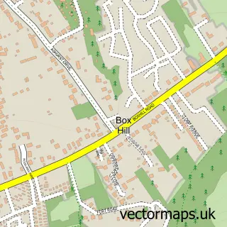
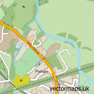
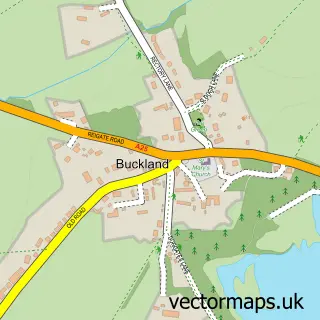
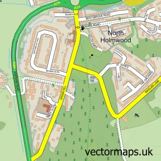
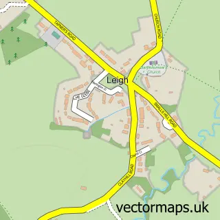
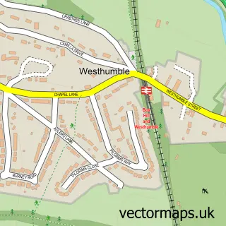
Nearby street map samples around Brockham

More street maps in Surrey
750 metre map area coverage
Boundary, postcode and point of interest information for the 750m x 750m rectangle centred on this sample map.
Boundaries containing map centre
Constituency: Dorking and Horley Co Const
County: Surrey County
District: Mole Valley District
Icb: NHS Surrey and Sussex ICB
Parish: Brockham CP
Police Force: surrey
Postcode District: RH3
Postcode Sector: RH3 7
Ward: Brockham, Betchworth, Buckland, Box Hill & Headley Ward
Nearby boundaries intersecting sample
No additional intersecting boundaries found.
Postcode coverage
POI category counts
Pub: 4
Cafe: 2
Church Cathedral: 2
Convenience Store: 2
It Service And Computer Repair: 2
Anglican Church: 1
Auto Upholstery: 1
Bar: 1
Bathroom Remodeling: 1
Building Supply Store: 1
Sample points of interest
- Christ Church
- Interior Creations
- Inn on the Green
- Terry Lee
- Dorking Paving and Landscapes
- J Chitty and Son Butchers
- Exciting Surrey venue coming soon
- The Reading Room Coffee and Cake House
- Brockham Christ Church
- Brockham Church
- Brockham Village Hall
- Bargain Booze
Create a larger editable map of Brockham
This sample shows only a 750 metre area. To create a larger map of Brockham, use our map builder to choose your own coverage area, add titles and download editable SVG, PDF and PNG files.
Create a custom map of Brockham