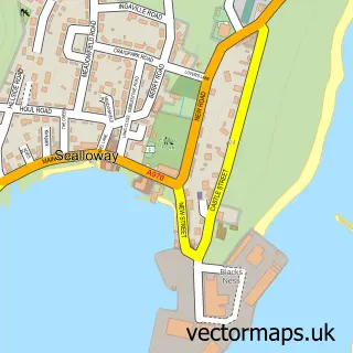
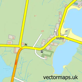
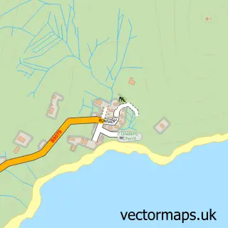
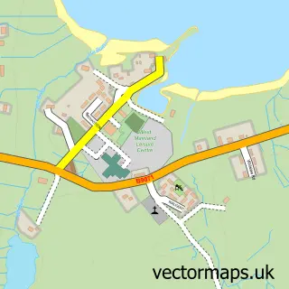
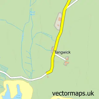
This Brae street map is a detailed vector street map covering a 750m x 750m area. Select a larger area to create and download your own vector street map of Brae.
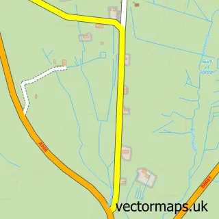
The 750-metre map sample for Brae covers 66 mapped buildings and approximately 9.5 km of road detail, of which 14 named roads are named. The immediate area includes 1 GP surgery within 2 miles, 1 pub and 1 MOT station within 2 miles. The wider area around Brae features 1 food and drink venue. To create a larger or custom map of Brae, the map builder lets you define your own coverage area and download editable SVG, PDF and PNG files.
Create a larger editable map of Brae
Choose any area you need and generate a high-quality vector map instantly. Perfect for print, planning, design, business and personal use.

This Brae street map in Shetland is available as downloadable SVG, PDF and PNG map files, or as a printed map for planning, business, display, education, local information and design work. You can also create a larger custom map area using the map selector.
What this Brae map sample shows
Brae lies within Shetland Islands parish, part of Shetland North ward in the Shetland Islands local authority area. The postcode geography for this area includes the ZE postcode area, the ZE2 postcode district and the ZE2 9 postcode sector. Local NHS services are provided through Shetland.
Local features near Brae
Within 2 milesAmenities and services in and around Brae.
Administrative and postcode information for Brae
The local authority covering Brae is Shetland Islands, within the county of Shetland. The settlement lies within Shetland North ward and Shetland Islands civil parish. The ZE2 postcode district and ZE2 9 postcode sector serve the immediate area. NHS provision in the area is delivered through Shetland.
Nearby street map samples around Brae

More street maps in Shetland
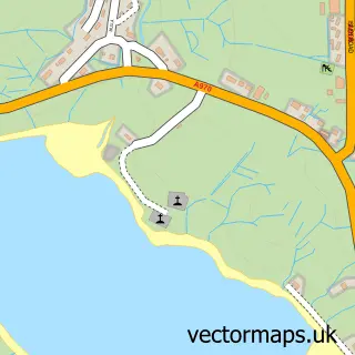
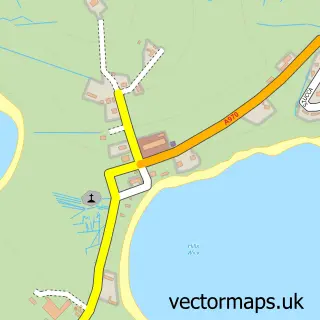
750 metre map area coverage
Boundary, postcode and point of interest information for the 750m x 750m rectangle centred on this sample map.
Boundaries containing map centre
Constituency: Orkney and Shetland Co Const
District: Shetland Islands
Icb: Shetland
Postcode District: ZE2
Postcode Sector: ZE2 9
Ward: Shetland North Ward
Nearby boundaries intersecting sample
No additional intersecting boundaries found.
Postcode coverage
POI category counts
Korean Grocery Store: 2
Convenience Store: 1
Doctor: 1
Elementary School: 1
Fish And Chips Restaurant: 1
Grocery Store: 1
Hardware Store: 1
High School: 1
Hunting And Fishing Supplies: 1
Pub: 1
Sample points of interest
- Co-op
- Brae Health Centre
- Brae High School, Primary Department
- Frankies Fish and Chips Brae Shetland
- The co-operative
- Garriock Bros Ltd - Brae Plant Centre
- Brae High School
- Ocean Tackle Store
- Brae Post Office
- Post Office
- MBI
- Brae Community Store
Create a larger editable map of Brae
This sample shows only a 750 metre area. To create a larger map of Brae, use our map builder to choose your own coverage area, add titles and download editable SVG, PDF and PNG files.
Create a custom map of Brae