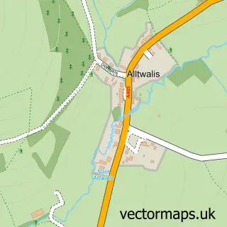
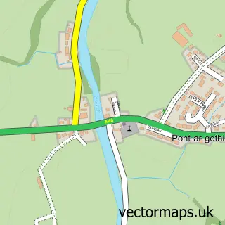
This Brechfa street map is a detailed vector street map covering a 750m x 750m area. Select a larger area to create and download your own vector street map of Brechfa.
The 750-metre map sample for Brechfa covers 89 mapped buildings and approximately 8.8 km of road detail. The immediate area includes 1 pub. The wider area around Brechfa features 1 tourism point of interest, 1 food and drink venue and 1 hotel. To create a larger or custom map of Brechfa, the map builder lets you define your own coverage area and download editable SVG, PDF and PNG files.
Create a larger editable map of Brechfa
Choose any area you need and generate a high-quality vector map instantly. Perfect for print, planning, design, business and personal use.

This Brechfa street map in Dyfed is available as downloadable SVG, PDF and PNG map files, or as a printed map for planning, business, display, education, local information and design work. You can also create a larger custom map area using the map selector.
What this Brechfa map sample shows
Brechfa lies within Llanegwad Community parish, part of Llanegwad ward in the Sir Gaerfyrddin - Carmarthenshire local authority area. The postcode geography for this area includes the SA postcode area, the SA32 postcode district and the SA32 7 postcode sector. Residents fall under the Hywel Dda University Health Board for NHS services.
Local features near Brechfa
Within 2 milesAmenities and services in and around Brechfa.
Administrative and postcode information for Brechfa
Brechfa lies within Llanegwad Community parish, part of Llanegwad ward in the Sir Gaerfyrddin - Carmarthenshire local authority area. The postcode geography for this area includes the SA postcode area, the SA32 postcode district and the SA32 7 postcode sector. Residents fall under the Hywel Dda University Health Board for NHS services.
Nearby street map samples around Brechfa

More street maps in Dyfed
750 metre map area coverage
Boundary, postcode and point of interest information for the 750m x 750m rectangle centred on this sample map.
Boundaries containing map centre
Constituency: Caerfyrddin Co Const
District: Sir Gaerfyrddin - Carmarthenshire
Icb: Hywel Dda
Parish: Llanfihangel Rhos-y-Corn Community
Police Force: dyfed-powys
Postcode District: SA32
Postcode Sector: SA32 7
Nearby boundaries intersecting sample
Parish: Llanegwad Community
Postcode coverage
POI category counts
Campground: 1
Community Center: 1
Credit Union: 1
Furniture Store: 1
Guest House: 1
Hotel: 1
Information Technology Company: 1
Pub: 1
Religious Organization: 1
Tree Services: 1
Sample points of interest
- Taicyd Camping Healing Retreat
- Brechfa Church Hall
- SaveEasy Credit Union
- Office furniture solutions ltd
- Glasfryn Guest House
- Ty Mawr Country Hotel and Restaurant.
- MSS (Software) Ltd.
- The Forest Arms
- St Teilo Church In Wales Brechfa
- R H Denman
Create a larger editable map of Brechfa
This sample shows only a 750 metre area. To create a larger map of Brechfa, use our map builder to choose your own coverage area, add titles and download editable SVG, PDF and PNG files.
Create a custom map of Brechfa