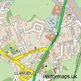
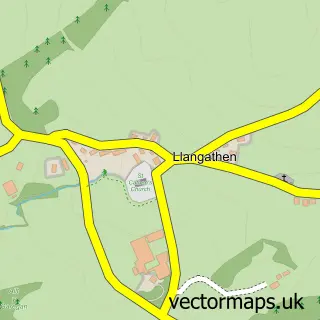
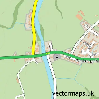
This Llanfynydd street map is a detailed vector street map covering a 750m x 750m area. Select a larger area to create and download your own vector street map of Llanfynydd.
The 750-metre map sample for Llanfynydd covers 110 mapped buildings and approximately 12.5 km of road detail. The immediate area includes 1 pub. The wider area around Llanfynydd features 1 food and drink venue and 1 hotel. To create a larger or custom map of Llanfynydd, the map builder lets you define your own coverage area and download editable SVG, PDF and PNG files.
Create a larger editable map of Llanfynydd
Choose any area you need and generate a high-quality vector map instantly. Perfect for print, planning, design, business and personal use.

This Llanfynydd street map in Dyfed is available as downloadable SVG, PDF and PNG map files, or as a printed map for planning, business, display, education, local information and design work. You can also create a larger custom map area using the map selector.
What this Llanfynydd map sample shows
Llanfynydd lies within Llanfynydd Community parish, part of Llanegwad ward in the Sir Gaerfyrddin - Carmarthenshire local authority area. The postcode geography for this area includes the SA postcode area, the SA32 postcode district and the SA32 7 postcode sector. Residents fall under the Hywel Dda University Health Board for NHS services.
Local features near Llanfynydd
Within 2 milesAmenities and services in and around Llanfynydd.
Administrative and postcode information for Llanfynydd
The local authority covering Llanfynydd is Sir Gaerfyrddin - Carmarthenshire, within the county of Dyfed. The settlement lies within Llanegwad ward and Llanfynydd Community civil parish. The SA32 postcode district and SA32 7 postcode sector serve the immediate area. NHS provision in the area is delivered through Hywel Dda University Health Board.
Nearby street map samples around Llanfynydd

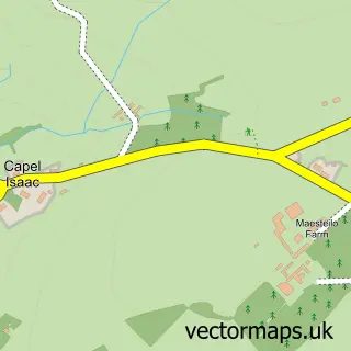
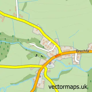
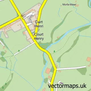
More street maps in Dyfed
750 metre map area coverage
Boundary, postcode and point of interest information for the 750m x 750m rectangle centred on this sample map.
Boundaries containing map centre
Constituency: Caerfyrddin Co Const
District: Sir Gaerfyrddin - Carmarthenshire
Icb: Hywel Dda
Parish: Llanfynydd Community
Police Force: dyfed-powys
Postcode District: SA32
Postcode Sector: SA32 7
Nearby boundaries intersecting sample
No additional intersecting boundaries found.
Postcode coverage
POI category counts
Real Estate Agent: 2
Construction Services: 1
Farm: 1
Holiday Rental Home: 1
Hotel: 1
Professional Services: 1
Pub: 1
Real Estate Service: 1
Sample points of interest
- Pcdeco
- Celtic Jacob, Dyfed & Cefngwlad Simmentals & Herdwicks, Cariad Welsh Blacks
- Bwthyn Barcud Coch
- Sunnybank Lodge, Scandinavian style log Cabin Holiday Home
- David Metcalf Will Writing Services
- Pen Y Bont
- Oak Tree Farm Glamping
- The Home Extension Construction Co
- Carmarthenshire Odd Jobbers
Create a larger editable map of Llanfynydd
This sample shows only a 750 metre area. To create a larger map of Llanfynydd, use our map builder to choose your own coverage area, add titles and download editable SVG, PDF and PNG files.
Create a custom map of Llanfynydd