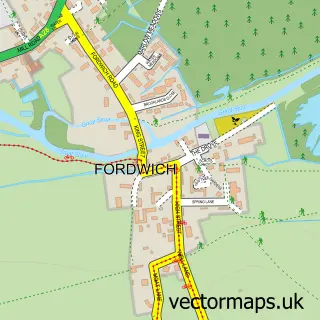
This Bridge street map is a detailed vector street map covering a 750m x 750m area. Select a larger area to create and download your own vector street map of Bridge.
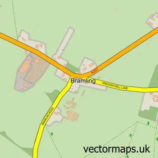
The 750-metre map sample for Bridge covers 283 mapped buildings and approximately 14.1 km of road detail, of which 23 named roads are named. The immediate area includes 1 school, 1 GP surgery, 4 pubs and 1 MOT station within 2 miles. The wider area around Bridge features 1 tourism point of interest, 5 food and drink venues and 2 hotels. To create a larger or custom map of Bridge, the map builder lets you define your own coverage area and download editable SVG, PDF and PNG files.
Create a larger editable map of Bridge
Choose any area you need and generate a high-quality vector map instantly. Perfect for print, planning, design, business and personal use.

This Bridge street map in Kent is available as downloadable SVG, PDF and PNG map files, or as a printed map for planning, business, display, education, local information and design work. You can also create a larger custom map area using the map selector.
What this Bridge map sample shows
Bridge lies within Bridge Cp parish, part of Nailbourne ward in the Canterbury District (B) local authority area. The postcode geography for this area includes the CT postcode area, the CT4 postcode district and the CT4 5 postcode sector. Residents fall under the Nhs Kent And Medway Integrated Care Board for NHS services.
Local features near Bridge
Within 2 milesAmenities and services in and around Bridge.
Administrative and postcode information for Bridge
Bridge lies within Bridge Cp parish, part of Nailbourne ward in the Canterbury District (B) local authority area. The postcode geography for this area includes the CT postcode area, the CT4 postcode district and the CT4 5 postcode sector. Residents fall under the Nhs Kent And Medway Integrated Care Board for NHS services.
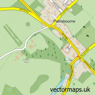
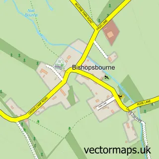
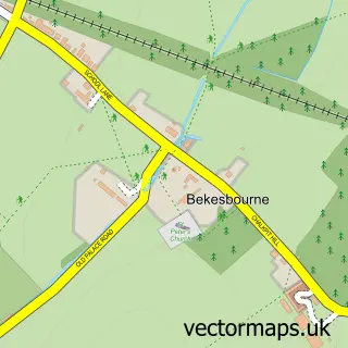
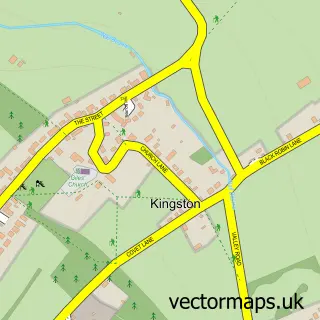
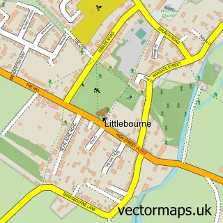
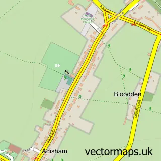
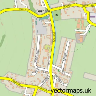
Nearby street map samples around Bridge

More street maps in Kent
750 metre map area coverage
Boundary, postcode and point of interest information for the 750m x 750m rectangle centred on this sample map.
Boundaries containing map centre
Constituency: Canterbury Co Const
County: Kent County
District: Canterbury District (B)
Icb: NHS Kent and Medway ICB
Parish: Bridge CP
Police Force: kent
Postcode District: CT4
Postcode Sector: CT4 5
Ward: Nailbourne Ward
Nearby boundaries intersecting sample
Parish: Bekesbourne-with-Patrixbourne CP
Ward: Little Stour & Adisham Ward
Postcode coverage
POI category counts
Pub: 4
Convenience Store: 2
Dance School: 2
Hotel: 2
Anglican Church: 1
Art Gallery: 1
Assisted Living Facility: 1
Atms: 1
Beauty Salon: 1
Building Supply Store: 1
Sample points of interest
- St Peter's Bridge
- Arterworks
- The New Close
- Bridgeway Stores, Bridge
- Smith & Co - Hair and Beauty
- Cross Plumbing
- St Peter's Church
- Bridge Village Community Allotment
- Londis BRIDGEWAY STORES LONDIS
- SPAR Bridge
- Benjamin Toms Photography
- Baby Ballet
Create a larger editable map of Bridge
This sample shows only a 750 metre area. To create a larger map of Bridge, use our map builder to choose your own coverage area, add titles and download editable SVG, PDF and PNG files.
Create a custom map of Bridge