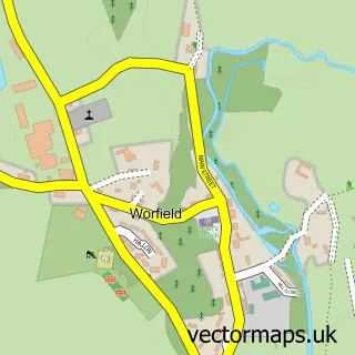
This Bridgnorth street map is a detailed vector street map covering a 750m x 750m area. Select a larger area to create and download your own vector street map of Bridgnorth.
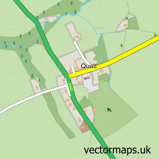
The 750-metre map sample for Bridgnorth covers 333 mapped buildings and approximately 53.9 km of road detail, of which 41 named roads are named. The immediate area includes 1 school, 1 GP surgery, 26 pubs and 6 MOT stations within 2 miles. The wider area around Bridgnorth features 8 tourism points of interest, 57 food and drink venues and 7 hotels. To create a larger or custom map of Bridgnorth, the map builder lets you define your own coverage area and download editable SVG, PDF and PNG files.
Create a larger editable map of Bridgnorth
Choose any area you need and generate a high-quality vector map instantly. Perfect for print, planning, design, business and personal use.

This Bridgnorth street map in Shropshire is available as downloadable SVG, PDF and PNG map files, or as a printed map for planning, business, display, education, local information and design work. You can also create a larger custom map area using the map selector.
What this Bridgnorth map sample shows
Bridgnorth lies within Bridgnorth Cp parish, part of Bridgnorth East And Astley Abbotts ward in the Shropshire local authority area. The postcode geography for this area includes the WV postcode area, the WV16 postcode district and the WV16 4 postcode sector. Residents fall under the Nhs Shropshire, Telford And Wrekin Integrated Care Board for NHS services.
Local features near Bridgnorth
Within 2 milesAmenities and services in and around Bridgnorth.
Administrative and postcode information for Bridgnorth
Bridgnorth lies within Bridgnorth Cp parish, part of Bridgnorth East And Astley Abbotts ward in the Shropshire local authority area. The postcode geography for this area includes the WV postcode area, the WV16 postcode district and the WV16 4 postcode sector. Residents fall under the Nhs Shropshire, Telford And Wrekin Integrated Care Board for NHS services.
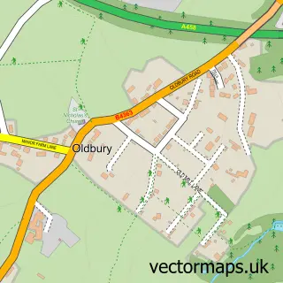
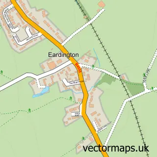
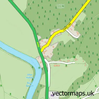
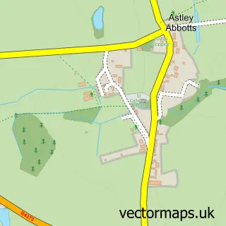
Nearby street map samples around Bridgnorth

More street maps in Shropshire
750 metre map area coverage
Boundary, postcode and point of interest information for the 750m x 750m rectangle centred on this sample map.
Boundaries containing map centre
Constituency: South Shropshire Co Const
District: Shropshire
Icb: NHS Shropshire Telford and Wrekin ICB
Parish: Bridgnorth CP
Police Force: west mercia
Postcode District: WV16
Postcode Sector: WV16 4
Nearby boundaries intersecting sample
Postcode District: WV15
Postcode Sector: WV15 5, WV15 6, WV16 5
Postcode coverage
POI category counts
Pub: 26
Beauty Salon: 20
Clothing Store: 16
Cafe: 13
Hair Salon: 12
Bar: 9
Coffee Shop: 9
Flowers And Gifts Shop: 9
Restaurant: 9
Bed And Breakfast: 7
Sample points of interest
- Astbury Accountants Ltd.
- Baldwins
- Hilton & Co Accountants
- Stanton Ralph - Chartered Accountants
- TaxAssist Accountants
- Turner Peachey
- The Fit Body Bootcamp
- Youngstars
- Angie Appleton's Acupuncture Clinic & Treatment Room
- Design Jazz
- Digital Moves
- Hobas Pipes UK
Create a larger editable map of Bridgnorth
This sample shows only a 750 metre area. To create a larger map of Bridgnorth, use our map builder to choose your own coverage area, add titles and download editable SVG, PDF and PNG files.
Create a custom map of Bridgnorth