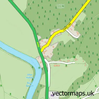
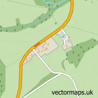
This Eardington street map is a detailed vector street map covering a 750m x 750m area. Select a larger area to create and download your own vector street map of Eardington.
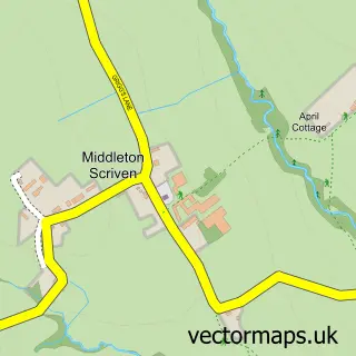
The 750-metre map sample for Eardington covers 140 mapped buildings and approximately 22.7 km of road detail, of which 8 named roads are named. The immediate area includes 1 GP surgery within 2 miles and 2 MOT stations within 2 miles. The wider area around Eardington features 2 tourism points of interest. To create a larger or custom map of Eardington, the map builder lets you define your own coverage area and download editable SVG, PDF and PNG files.
Create a larger editable map of Eardington
Choose any area you need and generate a high-quality vector map instantly. Perfect for print, planning, design, business and personal use.

This Eardington street map in Shropshire is available as downloadable SVG, PDF and PNG map files, or as a printed map for planning, business, display, education, local information and design work. You can also create a larger custom map area using the map selector.
What this Eardington map sample shows
Eardington lies within Eardington Cp parish, part of Brown Clee ward in the Shropshire local authority area. The postcode geography for this area includes the WV postcode area, the WV16 postcode district and the WV16 5 postcode sector. Residents fall under the Nhs Shropshire, Telford And Wrekin Integrated Care Board for NHS services.
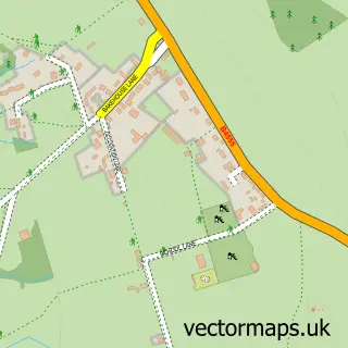
Local features near Eardington
Within 2 milesAmenities and services in and around Eardington.
Administrative and postcode information for Eardington
The local authority covering Eardington is Shropshire, within the county of Shropshire. The settlement lies within Brown Clee ward and Eardington Cp civil parish. The WV16 postcode district and WV16 5 postcode sector serve the immediate area. NHS provision in the area is delivered through The Shrewsbury And Telford Hospital Nhs Trust.
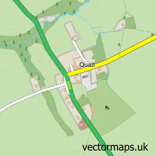
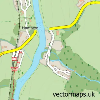
Nearby street map samples around Eardington

More street maps in Shropshire
750 metre map area coverage
Boundary, postcode and point of interest information for the 750m x 750m rectangle centred on this sample map.
Boundaries containing map centre
Constituency: South Shropshire Co Const
District: Shropshire
Icb: NHS Shropshire Telford and Wrekin ICB
Parish: Eardington CP
Police Force: west mercia
Postcode District: WV16
Postcode Sector: WV16 5
Nearby boundaries intersecting sample
No additional intersecting boundaries found.
Postcode coverage
POI category counts
Landmark And Historical Building: 2
Accommodation: 1
Boot Camp: 1
Building Supply Store: 1
Community Services Non Profits: 1
Fitness Trainer: 1
Hair Salon: 1
It Service And Computer Repair: 1
Livestock Breeder: 1
Marketing Consultant: 1
Sample points of interest
- The Barn
- TEAM Bootcamp
- Shifnal Window Cleaners
- Eardington Village Hall
- Conquer Food Workshop
- Replenique
- Nortech Software
- Eardington
- Eardington Field Nr SVR
- Eardington Bank
- B D P Consult
- Jessica Hignell Music
Create a larger editable map of Eardington
This sample shows only a 750 metre area. To create a larger map of Eardington, use our map builder to choose your own coverage area, add titles and download editable SVG, PDF and PNG files.
Create a custom map of Eardington