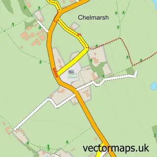
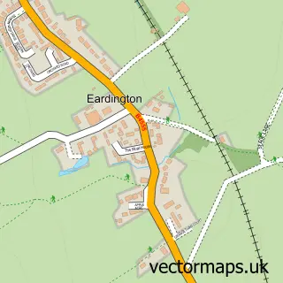
This Chelmarsh Common street map is a detailed vector street map covering a 750m x 750m area. Select a larger area to create and download your own vector street map of Chelmarsh Common.
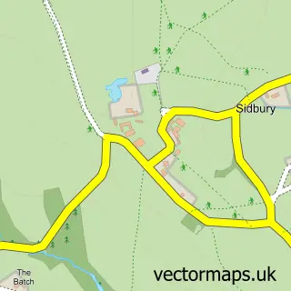
The 750-metre map sample for Chelmarsh Common covers 109 mapped buildings and approximately 12.9 km of road detail, of which 3 named roads are named. The wider area around Chelmarsh Common features 1 food and drink venue and 1 hotel. To create a larger or custom map of Chelmarsh Common, the map builder lets you define your own coverage area and download editable SVG, PDF and PNG files.
Create a larger editable map of Chelmarsh Common
Choose any area you need and generate a high-quality vector map instantly. Perfect for print, planning, design, business and personal use.

This Chelmarsh Common street map in Shropshire is available as downloadable SVG, PDF and PNG map files, or as a printed map for planning, business, display, education, local information and design work. You can also create a larger custom map area using the map selector.
What this Chelmarsh Common map sample shows
Chelmarsh Common lies within Chelmarsh Cp parish, part of Brown Clee ward in the Shropshire local authority area. The postcode geography for this area includes the WV postcode area, the WV16 postcode district and the WV16 6 postcode sector. Residents fall under the Nhs Shropshire, Telford And Wrekin Integrated Care Board for NHS services.
Local features near Chelmarsh Common
Within 2 milesAmenities and services in and around Chelmarsh Common.
Administrative and postcode information for Chelmarsh Common
The local authority covering Chelmarsh Common is Shropshire, within the county of Shropshire. The settlement lies within Brown Clee ward and Chelmarsh Cp civil parish. The WV16 postcode district and WV16 6 postcode sector serve the immediate area. NHS provision in the area is delivered through The Shrewsbury And Telford Hospital Nhs Trust.
Nearby street map samples around Chelmarsh Common

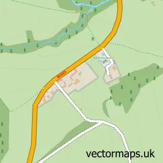
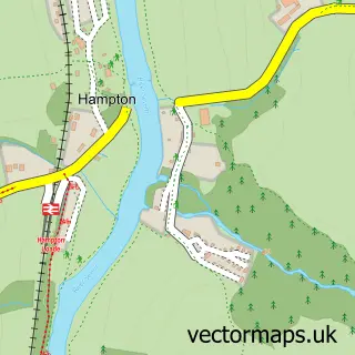
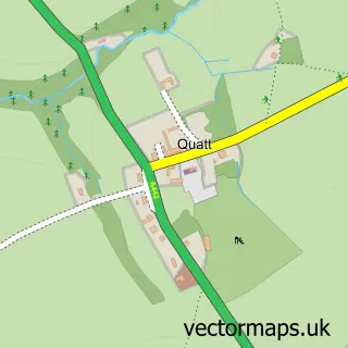
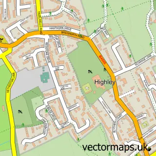
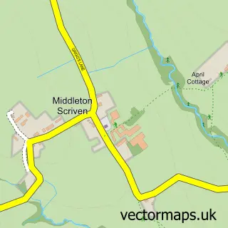
More street maps in Shropshire
750 metre map area coverage
Boundary, postcode and point of interest information for the 750m x 750m rectangle centred on this sample map.
Boundaries containing map centre
Constituency: South Shropshire Co Const
District: Shropshire
Icb: NHS Shropshire Telford and Wrekin ICB
Parish: Chelmarsh CP
Police Force: west mercia
Postcode District: WV16
Postcode Sector: WV16 6
Nearby boundaries intersecting sample
No additional intersecting boundaries found.
Postcode coverage
POI category counts
Banks: 1
Cottage: 1
Counseling And Mental Health: 1
Fitness Trainer: 1
Hotel: 1
Inn: 1
Restaurant: 1
Senior Citizen Services: 1
Sports Club And League: 1
Sample points of interest
- Royal Bank of Scotland
- Riddings Retreat
- Bowen Benefits
- DNS Ballers - Tailored Coaching
- The Astbury Golf & Lodge Resort
- The Bull's Head Inn
- Montgomery's Bar & Restaurant
- Chelmarsh Parish Hall
- Chelmarsh Sports and Social Club
Create a larger editable map of Chelmarsh Common
This sample shows only a 750 metre area. To create a larger map of Chelmarsh Common, use our map builder to choose your own coverage area, add titles and download editable SVG, PDF and PNG files.
Create a custom map of Chelmarsh Common