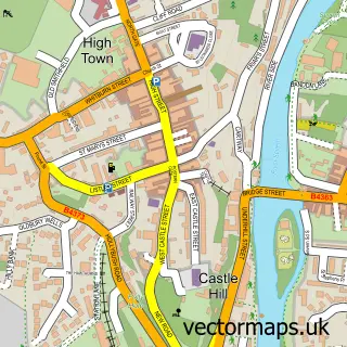
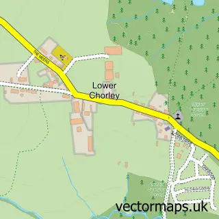
This Highley street map is a detailed vector street map covering a 750m x 750m area. Select a larger area to create and download your own vector street map of Highley.
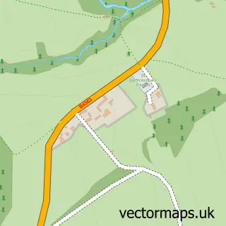
The 750-metre map sample for Highley covers 370 mapped buildings and approximately 55.8 km of road detail, of which 32 named roads are named. The immediate area includes 1 school, 1 GP surgery within 2 miles and 1 MOT station. The wider area around Highley features 2 food and drink venues. To create a larger or custom map of Highley, the map builder lets you define your own coverage area and download editable SVG, PDF and PNG files.
Create a larger editable map of Highley
Choose any area you need and generate a high-quality vector map instantly. Perfect for print, planning, design, business and personal use.

This Highley street map in Shropshire is available as downloadable SVG, PDF and PNG map files, or as a printed map for planning, business, display, education, local information and design work. You can also create a larger custom map area using the map selector.
What this Highley map sample shows
Highley lies within Highley Cp parish, part of Highley ward in the Shropshire local authority area. The postcode geography for this area includes the WV postcode area, the WV16 postcode district and the WV16 6 postcode sector. Residents fall under the Nhs Shropshire, Telford And Wrekin Integrated Care Board for NHS services.
Local features near Highley
Within 2 milesAmenities and services in and around Highley.
Administrative and postcode information for Highley
Highley lies within Highley Cp parish, part of Highley ward in the Shropshire local authority area. The postcode geography for this area includes the WV postcode area, the WV16 postcode district and the WV16 6 postcode sector. Residents fall under the Nhs Shropshire, Telford And Wrekin Integrated Care Board for NHS services.
Nearby street map samples around Highley

More street maps in Shropshire
750 metre map area coverage
Boundary, postcode and point of interest information for the 750m x 750m rectangle centred on this sample map.
Boundaries containing map centre
Constituency: South Shropshire Co Const
District: Shropshire
Icb: NHS Shropshire Telford and Wrekin ICB
Parish: Highley CP
Police Force: west mercia
Postcode District: WV16
Postcode Sector: WV16 6
Nearby boundaries intersecting sample
No additional intersecting boundaries found.
Postcode coverage
POI category counts
Cafe: 2
Doctor: 2
Elementary School: 2
Indian Restaurant: 2
Advertising Agency: 1
Automotive Repair: 1
Barber: 1
Beauty Salon: 1
Breakfast And Brunch Restaurant: 1
Building Supply Store: 1
Sample points of interest
- Stripey Horse Design
- Highley Garage
- The Barbers
- Beauty Village Broseley
- Sip & Soul Cafe
- Michael Hodges Landscapes
- Highley Butchers & Farmshop
- Highley Snack Shack Cafe
- Severn Minors Cafe
- Highley Minors Child Care
- Jade House Chinese Takeaway
- Costcutter
Create a larger editable map of Highley
This sample shows only a 750 metre area. To create a larger map of Highley, use our map builder to choose your own coverage area, add titles and download editable SVG, PDF and PNG files.
Create a custom map of Highley