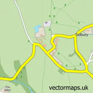
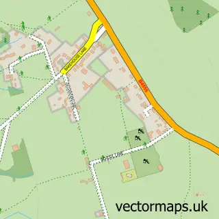
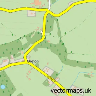
This Chorley street map is a detailed vector street map covering a 750m x 750m area. Select a larger area to create and download your own vector street map of Chorley.
The 750-metre map sample for Chorley covers 66 mapped buildings and approximately 18.3 km of road detail, of which 3 named roads are named. To create a larger or custom map of Chorley, the map builder lets you define your own coverage area and download editable SVG, PDF and PNG files.
Create a larger editable map of Chorley
Choose any area you need and generate a high-quality vector map instantly. Perfect for print, planning, design, business and personal use.

This Chorley street map in Shropshire is available as downloadable SVG, PDF and PNG map files, or as a printed map for planning, business, display, education, local information and design work. You can also create a larger custom map area using the map selector.
What this Chorley map sample shows
Chorley lies within Stottesdon Cp parish, part of Cleobury Mortimer ward in the Shropshire local authority area. The postcode geography for this area includes the WV postcode area, the WV16 postcode district and the WV16 6 postcode sector. Residents fall under the Nhs Shropshire, Telford And Wrekin Integrated Care Board for NHS services.
Administrative and postcode information for Chorley
The local authority covering Chorley is Shropshire, within the county of Shropshire. The settlement lies within Cleobury Mortimer ward and Stottesdon Cp civil parish. The WV16 postcode district and WV16 6 postcode sector serve the immediate area. NHS provision in the area is delivered through The Shrewsbury And Telford Hospital Nhs Trust.
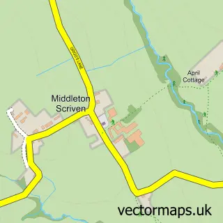
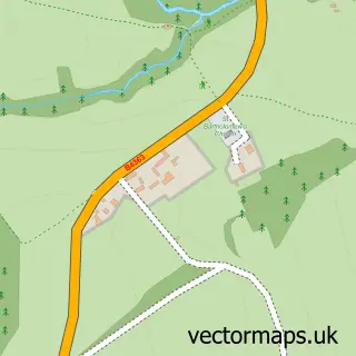
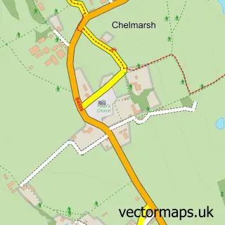
Nearby street map samples around Chorley

More street maps in Shropshire
750 metre map area coverage
Boundary, postcode and point of interest information for the 750m x 750m rectangle centred on this sample map.
Boundaries containing map centre
Constituency: South Shropshire Co Const
District: Shropshire
Icb: NHS Shropshire Telford and Wrekin ICB
Parish: Stottesdon CP
Police Force: west mercia
Postcode District: WV16
Postcode Sector: WV16 6
Nearby boundaries intersecting sample
No additional intersecting boundaries found.
Postcode coverage
POI category counts
Accommodation: 1
Active Life: 1
Building Contractor: 1
Business Consulting: 1
Contractor: 1
Farm: 1
Inn: 1
It Service And Computer Repair: 1
Logging Services: 1
Town Hall: 1
Sample points of interest
- Chorley
- The Basic Roamer Company
- Richoak Frames Ltd.
- Homelands Park
- Pc Plastering
- Willowdene Farm
- The Duck Inn
- Craig Thomas
- Home Forestry LLP
- Chorley Village Hall
Create a larger editable map of Chorley
This sample shows only a 750 metre area. To create a larger map of Chorley, use our map builder to choose your own coverage area, add titles and download editable SVG, PDF and PNG files.
Create a custom map of Chorley