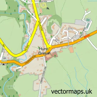
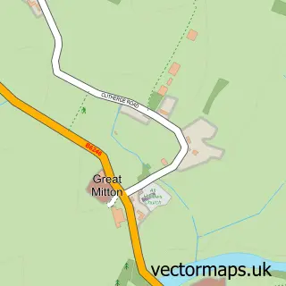
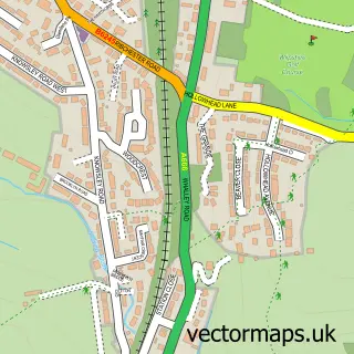
This Brockhall Village street map is a detailed vector street map covering a 750m x 750m area. Select a larger area to create and download your own vector street map of Brockhall Village.
The 750-metre map sample for Brockhall Village covers 261 mapped buildings and approximately 9.9 km of road detail, of which 18 named roads are named. The immediate area includes 1 MOT station within 2 miles. The wider area around Brockhall Village features 2 hotels. To create a larger or custom map of Brockhall Village, the map builder lets you define your own coverage area and download editable SVG, PDF and PNG files.
Create a larger editable map of Brockhall Village
Choose any area you need and generate a high-quality vector map instantly. Perfect for print, planning, design, business and personal use.

This Brockhall Village street map in Lancashire is available as downloadable SVG, PDF and PNG map files, or as a printed map for planning, business, display, education, local information and design work. You can also create a larger custom map area using the map selector.
What this Brockhall Village map sample shows
Brockhall Village lies within Billington And Langho Cp parish, part of Brockhall & Dinckley ward in the Ribble Valley District (B) local authority area. The postcode geography for this area includes the BB postcode area, the BB6 postcode district and the BB6 8 postcode sector. Residents fall under the Nhs Lancashire And South Cumbria Integrated Care Board for NHS services.
Local features near Brockhall Village
Within 2 milesAmenities and services in and around Brockhall Village.
Administrative and postcode information for Brockhall Village
Brockhall Village lies within Billington And Langho Cp parish, part of Brockhall & Dinckley ward in the Ribble Valley District (B) local authority area. The postcode geography for this area includes the BB postcode area, the BB6 postcode district and the BB6 8 postcode sector. Residents fall under the Nhs Lancashire And South Cumbria Integrated Care Board for NHS services.
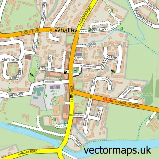
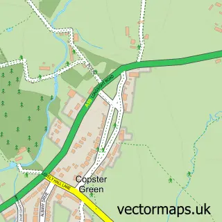
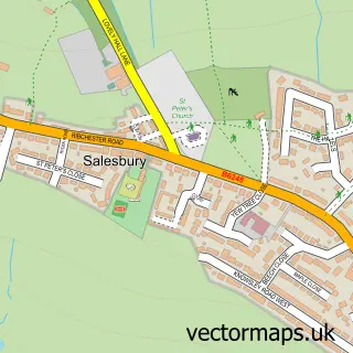
Nearby street map samples around Brockhall Village

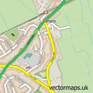
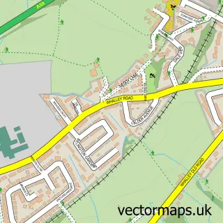
More street maps in Lancashire
750 metre map area coverage
Boundary, postcode and point of interest information for the 750m x 750m rectangle centred on this sample map.
Boundaries containing map centre
Constituency: Ribble Valley Co Const
County: Lancashire County
District: Ribble Valley District (B)
Icb: NHS Lancashire and South Cumbria ICB
Parish: Billington and Langho CP
Police Force: lancashire
Postcode District: BB6
Postcode Sector: BB6 8
Ward: Brockhall & Dinckley Ward
Nearby boundaries intersecting sample
Parish: Dinckley CP
Postcode coverage
POI category counts
Gym: 2
Hotel: 2
Active Life: 1
Architect: 1
Auto Loan Provider: 1
Building Contractor: 1
Building Supply Store: 1
Education: 1
Financial Advising: 1
Fitness Trainer: 1
Sample points of interest
- Mickii Edwards Fitness
- Modulus Architecture & Surveying
- Reclaims4U
- Fisher Homes
- Ryan Hargreaves Plumbing & Heating
- The Nursery at Brockhall
- Good Green Money Ltd
- John Pilkington Personal Trainer
- Emily Corner Health & Fitness Studio
- Masters Fitness Personal Training Gym
- The Volume Clinic
- Sedgwicks at Brockhall
Create a larger editable map of Brockhall Village
This sample shows only a 750 metre area. To create a larger map of Brockhall Village, use our map builder to choose your own coverage area, add titles and download editable SVG, PDF and PNG files.
Create a custom map of Brockhall Village