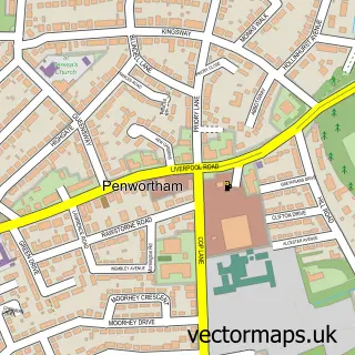
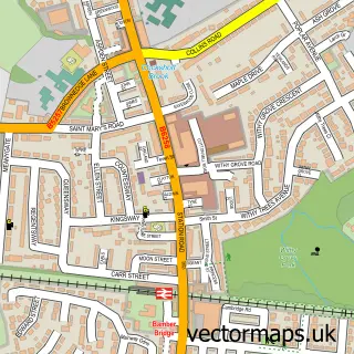
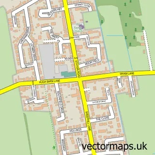
This Preston street map is a detailed vector street map covering a 750m x 750m area. Select a larger area to create and download your own vector street map of Preston.
The 750-metre map sample for Preston covers 167 mapped buildings and approximately 30.4 km of road detail, of which 94 named roads are named. The immediate area includes 1 school, 1 GP surgery, with 17 within 2 miles, 35 pubs and 2 MOT stations, with 60 within 2 miles. The wider area around Preston features 13 tourism points of interest, 93 food and drink venues and 6 hotels. To create a larger or custom map of Preston, the map builder lets you define your own coverage area and download editable SVG, PDF and PNG files.
Create a larger editable map of Preston
Choose any area you need and generate a high-quality vector map instantly. Perfect for print, planning, design, business and personal use.

This Preston street map in Lancashire is available as downloadable SVG, PDF and PNG map files, or as a printed map for planning, business, display, education, local information and design work. You can also create a larger custom map area using the map selector.
What this Preston map sample shows
Preston lies within Penwortham Cp parish, part of Howick & Priory ward in the South Ribble District (B) local authority area. The postcode geography for this area includes the PR postcode area, the PR1 postcode district and the PR1 0 postcode sector. Residents fall under the Nhs Lancashire And South Cumbria Integrated Care Board for NHS services.
Local features near Preston
Within 2 milesAmenities and services in and around Preston.
Administrative and postcode information for Preston
Preston lies within Penwortham Cp parish, part of Howick & Priory ward in the South Ribble District (B) local authority area. The postcode geography for this area includes the PR postcode area, the PR1 postcode district and the PR1 0 postcode sector. Residents fall under the Nhs Lancashire And South Cumbria Integrated Care Board for NHS services.
Nearby street map samples around Preston
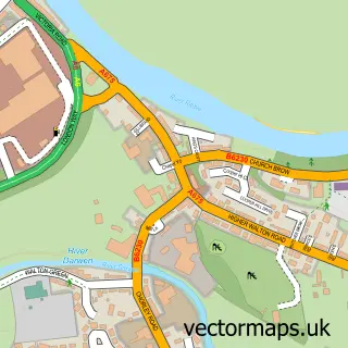
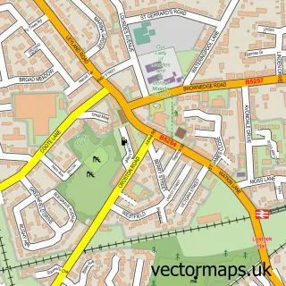
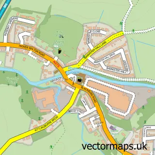
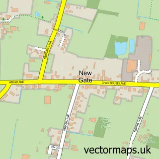
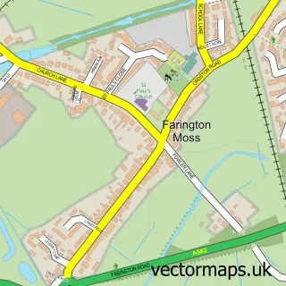
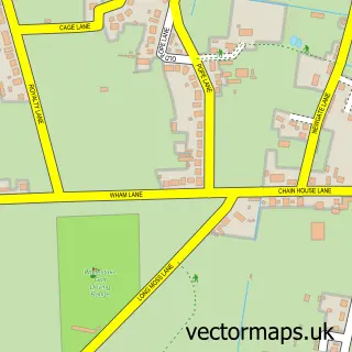
More street maps in Lancashire
750 metre map area coverage
Boundary, postcode and point of interest information for the 750m x 750m rectangle centred on this sample map.
Boundaries containing map centre
Constituency: Preston Boro Const
County: Lancashire County
District: Preston District (B)
Icb: NHS Lancashire and South Cumbria ICB
Police Force: lancashire
Postcode District: PR1
Postcode Sector: PR1 2
Ward: City Centre Ward
Nearby boundaries intersecting sample
Postcode Sector: PR1 1, PR1 3, PR1 8
Ward: Fishwick & Frenchwood Ward, St. Matthew's Ward
Postcode coverage
POI category counts
Pub: 35
Clothing Store: 34
Bar: 29
Jewelry Store: 29
Employment Agencies: 25
Mobile Phone Store: 25
Professional Services: 24
Fast Food Restaurant: 22
Restaurant: 22
Beauty Salon: 20
Sample points of interest
- Lawson Halls
- FP Accountancy & Tax Services
- Flower Accounting Ltd
- Handpicked Accountants
- MHA Moore and Smalley
- iiZA Bookkeeping and Accounts
- Preston City Wrestling
- Ads Addiction Dependency Solutions
- Adult Shop Preston
- Room 32
- Content Colin
- Friargate Research
Create a larger editable map of Preston
This sample shows only a 750 metre area. To create a larger map of Preston, use our map builder to choose your own coverage area, add titles and download editable SVG, PDF and PNG files.
Create a custom map of Preston