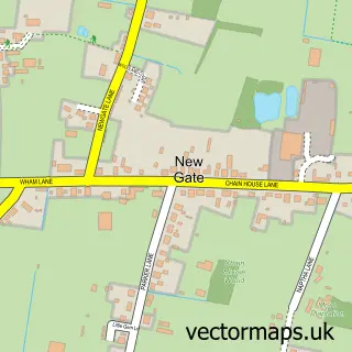
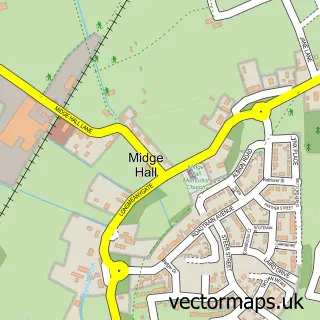
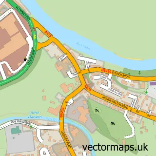
This Farington Moss street map is a detailed vector street map covering a 750m x 750m area. Select a larger area to create and download your own vector street map of Farington Moss.
The 750-metre map sample for Farington Moss covers 275 mapped buildings and approximately 11.1 km of road detail, of which 19 named roads are named. The immediate area includes 1 school, 7 GP surgeries within 2 miles and 25 MOT stations within 2 miles. The wider area around Farington Moss features 1 tourism point of interest. To create a larger or custom map of Farington Moss, the map builder lets you define your own coverage area and download editable SVG, PDF and PNG files.
Create a larger editable map of Farington Moss
Choose any area you need and generate a high-quality vector map instantly. Perfect for print, planning, design, business and personal use.

This Farington Moss street map in Lancashire is available as downloadable SVG, PDF and PNG map files, or as a printed map for planning, business, display, education, local information and design work. You can also create a larger custom map area using the map selector.
What this Farington Moss map sample shows
Farington Moss lies within Farington Cp parish, part of Farington West ward in the South Ribble District (B) local authority area. The postcode geography for this area includes the PR postcode area, the PR26 postcode district and the PR26 6 postcode sector. Residents fall under the Nhs Lancashire And South Cumbria Integrated Care Board for NHS services.
Local features near Farington Moss
Within 2 milesAmenities and services in and around Farington Moss.
Administrative and postcode information for Farington Moss
Farington Moss lies within Farington Cp parish, part of Farington West ward in the South Ribble District (B) local authority area. The postcode geography for this area includes the PR postcode area, the PR26 postcode district and the PR26 6 postcode sector. Residents fall under the Nhs Lancashire And South Cumbria Integrated Care Board for NHS services.
Nearby street map samples around Farington Moss
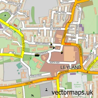

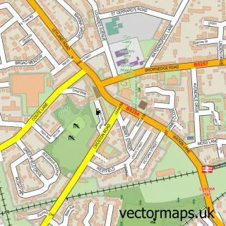
More street maps in Lancashire
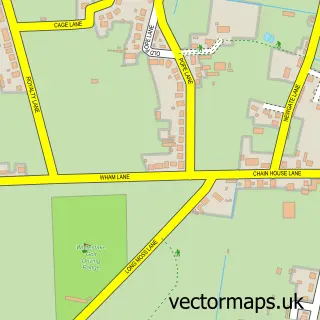
750 metre map area coverage
Boundary, postcode and point of interest information for the 750m x 750m rectangle centred on this sample map.
Boundaries containing map centre
Constituency: South Ribble Co Const
County: Lancashire County
District: South Ribble District (B)
Icb: NHS Lancashire and South Cumbria ICB
Parish: Farington CP
Police Force: lancashire
Postcode District: PR26
Postcode Sector: PR26 6
Ward: Farington West Ward
Nearby boundaries intersecting sample
Postcode District: PR4, PR5
Postcode Sector: PR4 4, PR5 5
Postcode coverage
POI category counts
Gardener: 4
Building Contractor: 2
Accountant: 1
Anglican Church: 1
Beauty Salon: 1
Church Cathedral: 1
Education: 1
Electrician: 1
Elementary School: 1
Home Improvement Store: 1
Sample points of interest
- Cheshire House Bookkeeping
- St Paul Farington Moss
- Skin Deep Leyland
- Lawrenson Builders
- Mark Lawrenson
- St Paul's Church
- Farington St Pauls C of E School
- Craven Electrical & Security
- Farington Moss St. Paul's C.E. Primary School
- M T Rigby Gardening Services
- Mark Nisbet Gardening
- Marks Gardening Services
Create a larger editable map of Farington Moss
This sample shows only a 750 metre area. To create a larger map of Farington Moss, use our map builder to choose your own coverage area, add titles and download editable SVG, PDF and PNG files.
Create a custom map of Farington Moss