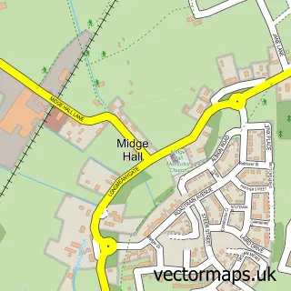
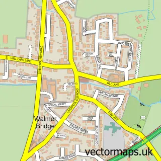
This Whitestake street map is a detailed vector street map covering a 750m x 750m area. Select a larger area to create and download your own vector street map of Whitestake.
The 750-metre map sample for Whitestake covers 153 mapped buildings and approximately 7.9 km of road detail, of which 9 named roads are named. The immediate area includes 5 GP surgeries within 2 miles, 1 pub and 1 MOT station, with 21 within 2 miles. The wider area around Whitestake features 1 tourism point of interest and 1 food and drink venue. To create a larger or custom map of Whitestake, the map builder lets you define your own coverage area and download editable SVG, PDF and PNG files.
Create a larger editable map of Whitestake
Choose any area you need and generate a high-quality vector map instantly. Perfect for print, planning, design, business and personal use.

This Whitestake street map in Lancashire is available as downloadable SVG, PDF and PNG map files, or as a printed map for planning, business, display, education, local information and design work. You can also create a larger custom map area using the map selector.
What this Whitestake map sample shows
Whitestake lies within Longton Cp parish, part of New Longton & Hutton East ward in the South Ribble District (B) local authority area. The postcode geography for this area includes the PR postcode area, the PR4 postcode district and the PR4 4 postcode sector. Residents fall under the Nhs Lancashire And South Cumbria Integrated Care Board for NHS services.
Local features near Whitestake
Within 2 milesAmenities and services in and around Whitestake.
Administrative and postcode information for Whitestake
The local authority covering Whitestake is South Ribble District (B), within the county of Lancashire. The settlement lies within New Longton & Hutton East ward and Longton Cp civil parish. The PR4 postcode district and PR4 4 postcode sector serve the immediate area. NHS provision in the area is delivered through Lancashire Teaching Hospitals Nhs Foundation Trust.
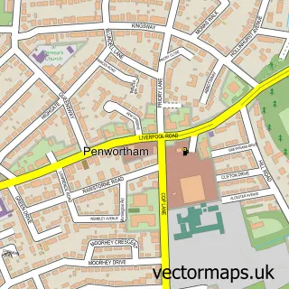
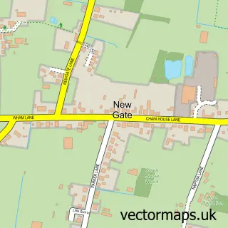
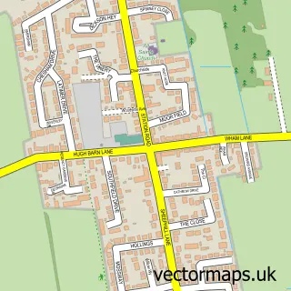
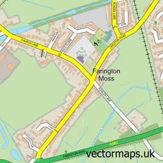
Nearby street map samples around Whitestake

More street maps in Lancashire
750 metre map area coverage
Boundary, postcode and point of interest information for the 750m x 750m rectangle centred on this sample map.
Boundaries containing map centre
Constituency: South Ribble Co Const
County: Lancashire County
District: South Ribble District (B)
Icb: NHS Lancashire and South Cumbria ICB
Parish: Longton CP
Police Force: lancashire
Postcode District: PR4
Postcode Sector: PR4 4
Ward: New Longton & Hutton East Ward
Nearby boundaries intersecting sample
Parish: Farington CP, Hutton CP
Postcode coverage
POI category counts
Building Supply Store: 2
Accommodation: 1
Automotive Repair: 1
Car Dealer: 1
Driving Range: 1
Health And Medical: 1
Landmark And Historical Building: 1
Landscape Architect: 1
Nursery And Gardening: 1
Pet Groomer: 1
Sample points of interest
- The Garden of Eden Spa
- Whitestake Garage
- H T E
- Howe2 Landscapes & Trees
- AWR Car Sales Limited
- Whitestake Driving Range
- International Safety Services
- Whitestake
- Newgate Nurseries
- Newgate Nurseries
- Happy dogz
- Digital Miles
Create a larger editable map of Whitestake
This sample shows only a 750 metre area. To create a larger map of Whitestake, use our map builder to choose your own coverage area, add titles and download editable SVG, PDF and PNG files.
Create a custom map of Whitestake