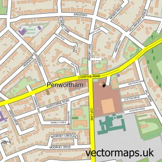
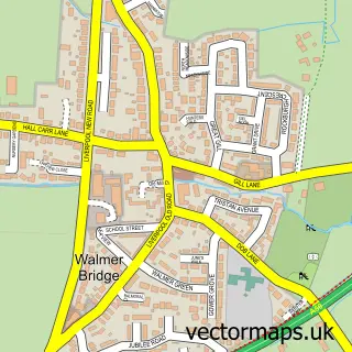
This Hutton street map is a detailed vector street map covering a 750m x 750m area. Select a larger area to create and download your own vector street map of Hutton.
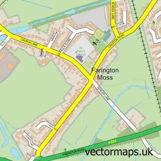
The 750-metre map sample for Hutton covers 312 mapped buildings and approximately 10.4 km of road detail, of which 19 named roads are named. The immediate area includes 1 school, 5 GP surgeries within 2 miles and 11 MOT stations within 2 miles. The wider area around Hutton features 1 tourism point of interest. To create a larger or custom map of Hutton, the map builder lets you define your own coverage area and download editable SVG, PDF and PNG files.
Create a larger editable map of Hutton
Choose any area you need and generate a high-quality vector map instantly. Perfect for print, planning, design, business and personal use.

This Hutton street map in Lancashire is available as downloadable SVG, PDF and PNG map files, or as a printed map for planning, business, display, education, local information and design work. You can also create a larger custom map area using the map selector.
What this Hutton map sample shows
Hutton lies within Hutton Cp parish, part of New Longton & Hutton East ward in the South Ribble District (B) local authority area. The postcode geography for this area includes the PR postcode area, the PR4 postcode district and the PR4 5 postcode sector. Residents fall under the Nhs Lancashire And South Cumbria Integrated Care Board for NHS services.
Local features near Hutton
Within 2 milesAmenities and services in and around Hutton.
Administrative and postcode information for Hutton
Hutton lies within Hutton Cp parish, part of New Longton & Hutton East ward in the South Ribble District (B) local authority area. The postcode geography for this area includes the PR postcode area, the PR4 postcode district and the PR4 5 postcode sector. Residents fall under the Nhs Lancashire And South Cumbria Integrated Care Board for NHS services.
Nearby street map samples around Hutton

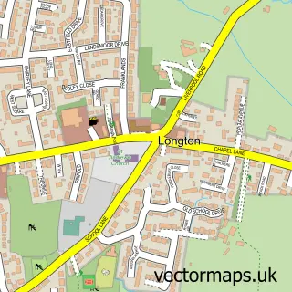
More street maps in Lancashire
750 metre map area coverage
Boundary, postcode and point of interest information for the 750m x 750m rectangle centred on this sample map.
Boundaries containing map centre
Constituency: South Ribble Co Const
County: Lancashire County
District: South Ribble District (B)
Icb: NHS Lancashire and South Cumbria ICB
Parish: Hutton CP
Police Force: lancashire
Postcode District: PR4
Postcode Sector: PR4 5
Ward: Longton & Hutton West Ward
Nearby boundaries intersecting sample
Parish: Longton CP
Ward: New Longton & Hutton East Ward
Postcode coverage
POI category counts
Beauty Product Supplier: 3
Business Management Services: 3
Bakery: 2
Swimming Instructor: 2
Barber: 1
Beauty Salon: 1
Bicycle Shop: 1
Building Supply Store: 1
Business Manufacturing And Supply: 1
Car Wash: 1
Sample points of interest
- Lathams of Broughton
- The Cake Lady Preston
- Mullen's Barbershop
- Be Beautiful
- Be Beautiful
- Hair By J & L
- Ohana Paradise Beauty
- Ace Mobile Cycle Repair
- CDS Cleaning Services
- Billy's Partytime Entertainment
- Billy's partytime Entertainments
- Billys Partytime Events & Entertainment
Create a larger editable map of Hutton
This sample shows only a 750 metre area. To create a larger map of Hutton, use our map builder to choose your own coverage area, add titles and download editable SVG, PDF and PNG files.
Create a custom map of Hutton