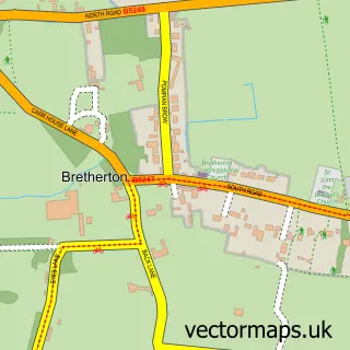
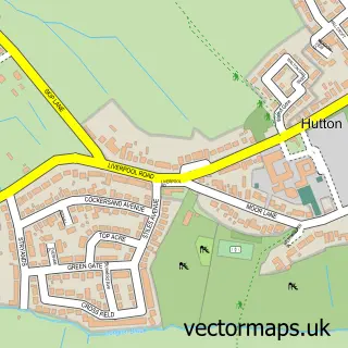
This Much Hoole street map is a detailed vector street map covering a 750m x 750m area. Select a larger area to create and download your own vector street map of Much Hoole.
The 750-metre map sample for Much Hoole covers 260 mapped buildings and approximately 10.7 km of road detail, of which 16 named roads are named. The immediate area includes 2 GP surgeries within 2 miles, 1 pub and 8 MOT stations within 2 miles. The wider area around Much Hoole features 1 food and drink venue. To create a larger or custom map of Much Hoole, the map builder lets you define your own coverage area and download editable SVG, PDF and PNG files.
Create a larger editable map of Much Hoole
Choose any area you need and generate a high-quality vector map instantly. Perfect for print, planning, design, business and personal use.

This Much Hoole street map in Lancashire is available as downloadable SVG, PDF and PNG map files, or as a printed map for planning, business, display, education, local information and design work. You can also create a larger custom map area using the map selector.
What this Much Hoole map sample shows
Much Hoole lies within Much Hoole Cp parish, part of Hoole ward in the South Ribble District (B) local authority area. The postcode geography for this area includes the PR postcode area, the PR4 postcode district and the PR4 4 postcode sector. Residents fall under the Nhs Lancashire And South Cumbria Integrated Care Board for NHS services.
Local features near Much Hoole
Within 2 milesAmenities and services in and around Much Hoole.
Administrative and postcode information for Much Hoole
Much Hoole lies within Much Hoole Cp parish, part of Hoole ward in the South Ribble District (B) local authority area. The postcode geography for this area includes the PR postcode area, the PR4 postcode district and the PR4 4 postcode sector. Residents fall under the Nhs Lancashire And South Cumbria Integrated Care Board for NHS services.
Nearby street map samples around Much Hoole

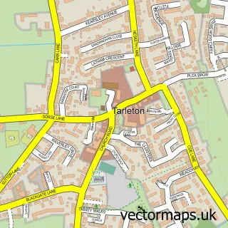
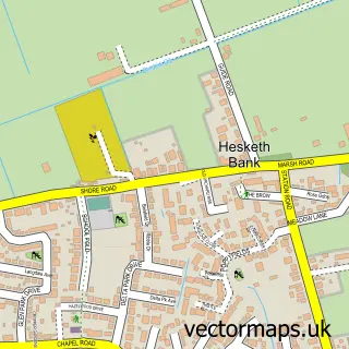
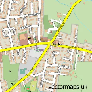
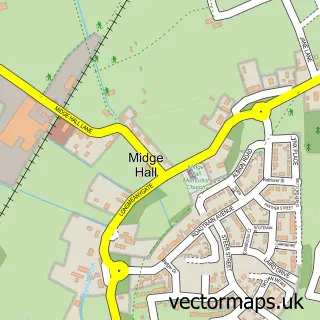
More street maps in Lancashire
750 metre map area coverage
Boundary, postcode and point of interest information for the 750m x 750m rectangle centred on this sample map.
Boundaries containing map centre
Constituency: South Ribble Co Const
County: Lancashire County
District: South Ribble District (B)
Icb: NHS Lancashire and South Cumbria ICB
Parish: Much Hoole CP
Police Force: lancashire
Postcode District: PR4
Postcode Sector: PR4 4
Ward: Hoole Ward
Nearby boundaries intersecting sample
Postcode Sector: PR4 5
Postcode coverage
POI category counts
Arts And Crafts: 1
Beauty Salon: 1
Car Dealer: 1
Graphic Designer: 1
Italian Restaurant: 1
Massage Therapy: 1
Mediterranean Restaurant: 1
Professional Services: 1
Pub: 1
Race Track: 1
Sample points of interest
- Balance Yoga
- Linzi's Health and Beauty
- ION Automotive
- Child Creative
- Trattoria San Marco
- LR Sports Massage Therapy
- Ego at The Fox Cub, Little Hoole
- C and C Cleaning
- Th Owd Smithy Inn
- Much Hoole Pump Track
- Ribble Court Care Home
- Premier Roofing North West
Create a larger editable map of Much Hoole
This sample shows only a 750 metre area. To create a larger map of Much Hoole, use our map builder to choose your own coverage area, add titles and download editable SVG, PDF and PNG files.
Create a custom map of Much Hoole